Mott Haven in the Bronx in Bronx County, New York — The American Northeast (Mid-Atlantic)
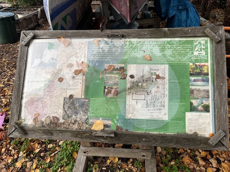
Brook Restoration
Mill Brook known as Acrahung by the indigenous Lenape people "Its waters once flowed, clear and crystal, through the Webster and Brook Avenues valleys." Now lost to the neighborhood. Its rainwater recharges the current Brook Mill Watershed. Its groundwater still flows
"Wawy back in the [18]60's … What is now [unreadable] connects the Harlem River with the East River; so that much of the land here is filled-in ground. Many a time have been had in that old brook, at 150th street."
Interview excerpts from 1930's WPA Project, American Memory from the Library of Congress
The historic Brook Restoration includes developing a wetland swale at Brook park with native plantings to support aquatic life, similar to the once vital waterway. Mill Brook / Acrahung that ran through the current park's location until the turn of the 19th century. Rainwater harvesting will protect local water bodies from sewer overflow during storms, provide a local water source for our garden, and restore the lost brook freshwater habitat here in Mott Haven and serve as an educational resource for students.
Design of the Restoration comes from years of extensive community consultations and local input resulting in design collaborations with Mott Haven Prep, Pueblo en Marcha, Camino de Paz and more, with exhibitions of the local Mott Haven Branch of the Public Library. The project has benefited from support of the years from Atlantic Arts Foundation, the National Forest Service, National Department of Conservation and [unreadable].
Friends of Brook Park is leading community-based environmental organization in the South Bronx. We engage youth and adults in organic gardening, and arts and indigenous cultural events and activities that convey a deep respect for the Natural world. In addition we are strong advocates for environmental justice, waterfront access, and green space development.
Rainwater harvested from adjacent buildings will be diverted to a below-grade cistern used to maintain water levels in the wetland and a raised cistern for irrigation. A comprehensive ecosystem assessment has determined native plantings and a diverse aquatic ecology that will naturally abate mosquitos.
Where did the Brook go?
The Brook was culverted over time beginning in 1868, and covered or buried block by block to make way for real estate "development." The rain that fed it still falls. Its groundwater still flows.
Topics. This historical marker is listed in these topic lists: Environment • Parks & Recreational Areas • Waterways & Vessels. A significant historical year for this entry is 1868.
Location.
Other nearby markers. At least 8 other markers are within walking distance of this marker. Saw Mill Playground (within shouting distance of this marker); Gouverneur Morris (about 800 feet away, measured in a direct line); St. Ann's Shrine (about 800 feet away); Padre Plaza (approx. 0.2 miles away); PFC Carlos J. Lozada Playground (approx. 0.4 miles away); Carlos James Lozada (approx. 0.4 miles away); A memorial to Roberto Enrique Clemente Walker (approx. 0.4 miles away); Roundhouse (approx. half a mile away). Touch for a list and map of all markers in Bronx.
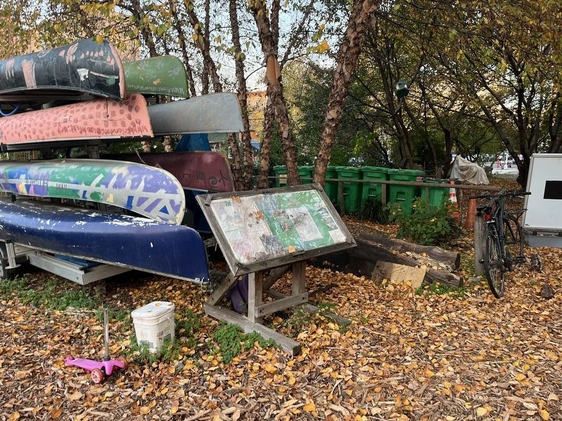
More about this marker. Unfortunately, leaves have become trapped under the glass, obscuring significant portions of the text.
Credits. This page was last revised on January 31, 2023. It was originally submitted on November 7, 2022, by Devry Becker Jones of Washington, District of Columbia. This page has been viewed 112 times since then and 15 times this year. Photos: 1, 2. submitted on November 7, 2022, by Devry Becker Jones of Washington, District of Columbia.
Editor’s want-list for this marker. Full script once the leaves have been cleared out. • Transcription of the Spanish-language text. • Can you help?

