Near Belleview in Iron County, Missouri — The American Midwest (Upper Plains)
Dr. John Stafford Brown
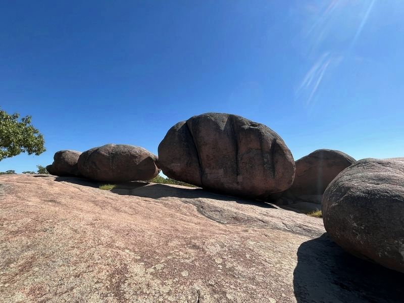
The 120 acre area encompassing Elephant Rocks State Park was donated to the state of Missouri in 1966 by Dr. John Stafford Brown and his wife, Evangeline (Moon) Brown.
Dr. Brown was born Sept. 26, 1894, in Thomas County, Kansas, but moved to Lamar, Mo., when he was young. He received his education at the Missouri School of Mines (now the University of Missouri Rolla). George Washington University in Washington, D.C., and Columbia University in New York. He was employed as a geologist by the Missouri Geological Survey, the US Geological Survey, and in private industry.
Dr. Brown served as chief geologist for the St. Joseph Lead Co. for more than 30 years. He led the company's zinc mining exploration in New York and, in 1947, he led the team that discovered the Viburnum Trend or Lead Belt in southeast Missouri, the site of one of the world's largest lead deposits. He was the author of two books, many scientific papers, and is best known for his work in the fields of ore deposits, coastal ground waters, and lead isotopes. In 1959, Dr. Brown was awarded the prestigious Penrose Medal of the Society of Economic Geologists.
Topics. This historical marker is listed in these topic lists: Parks & Recreational Areas • Science & Medicine. A significant historical date for this entry is September 26, 1894.
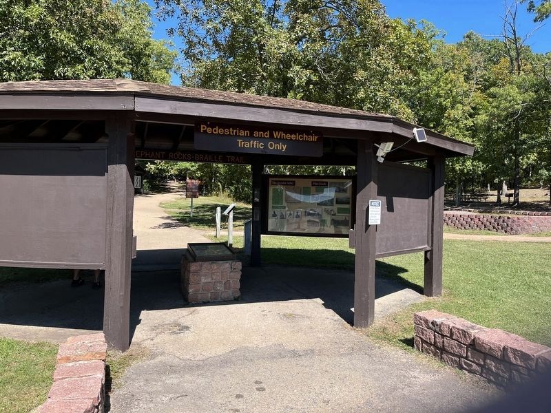
Location. 37° 39.186′ N, 90° 41.335′ W. Marker is near Belleview, Missouri, in Iron County. Marker can be reached from State Highway 21, on the right when traveling west. Located inside the gazebo at the entrance to Elephant Rocks State Park, adjacent to the parking lot. Touch for map. Marker is at or near this postal address: 7406 Highway 21, Belleview MO 63623, United States of America. Touch for directions.
Other nearby markers. At least 8 other markers are within 4 miles of this marker, measured as the crow flies. The Arcadia Valley (approx. 2.7 miles away); Caledonia—Potosi Road (approx. 2.7 miles away); Immanuel Lutheran Church (approx. 3.2 miles away); St. Mary's Catholic Church (approx. 3.4 miles away); Fort Davidson (approx. 3˝ miles away); Pilot Knob Mountain (approx. 3˝ miles away); The Doomed Assault (approx. 3˝ miles away); The Struggle for the Mountains (approx. 3˝ miles away).
Also see . . . Memorial to Dr. John Stafford Brown. PDF, from the Geological Society of America. (Submitted on November 11, 2022, by Craig Swain of Leesburg, Virginia.)
Credits. This page was last revised on November 11, 2022. It was originally submitted on November 11, 2022, by Craig Swain of Leesburg, Virginia. This page has been viewed 61 times since then and 12 times this year. Photos: 1, 2, 3. submitted on November 11, 2022, by Craig Swain of Leesburg, Virginia.


