Near Davis in Tucker County, West Virginia — The American South (Appalachia)
Changing Landscapes, Changing Values
Photographed by Tom Bosse, July 7, 2022
1. Changing Landscapes, Changing Values Marker
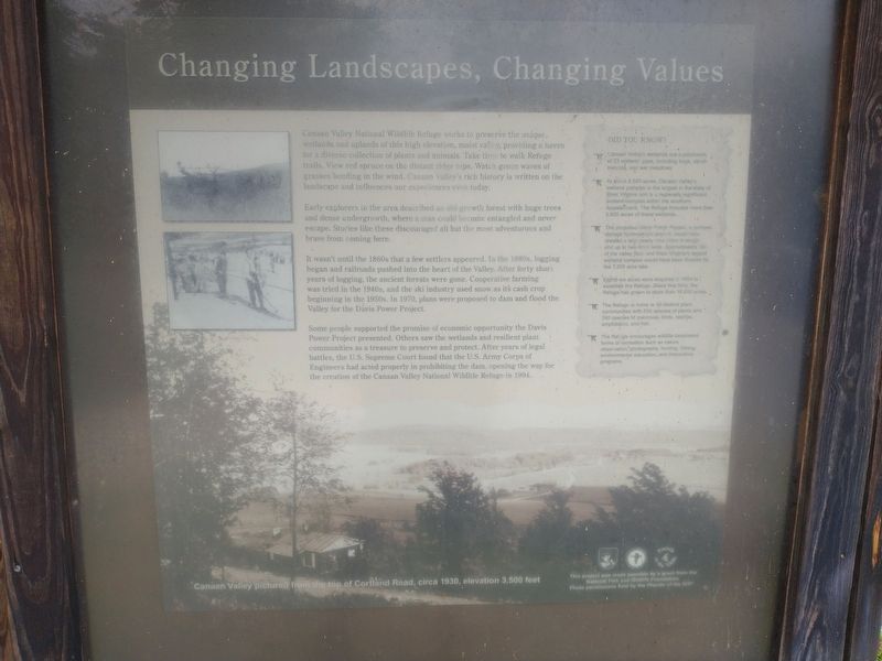
Canaan Valley National Wildlife Refuge works to preserve the unique, wetlands and uplands of this high elevation, moist valley, providing a haven for a diverse collection of plants and animals. Take time to talk Refuge trails. View red spruce on the distant ridge tops. Watch green waves of grasses bending in the wind. Canaan Valley’s rich history is written on the landscape and influences our experiences even today.
Early explorers to the area described an old-growth forest with huge trees and dense undergrowth, where a man could become entangled and never escape. Stories like these discouraged all but the most adventurous and brave from coming here.
It wasn’t until the 1860s that a few settlers appeared. In the 1880s, logging began and railroads rushed into the heart of the Valley. After forty short years of logging, the ancient forests were gone. Cooperative farming was tried in the 1940s, and the ski industry used snow as its cash crop beginning in the 1950s. In 1970, plans were proposed to dam and flood the Valley for the Davis Power Project.
Some people supported the promise of economic opportunity the Davis
this page online
Did You Know?
🐦 Canaan Valley’s wetlands are a patchwork of 23 wetland types, including bogs, shrub swamps, and wet meadows.
🐦 At about 8,500 acres, Canaan Valley’s wetland complex is the largest in the state of West Virginia and is a regionally significant wetland complex with the southern Appalachians. The Refuge includes more than 5,600 acres of these wetlands.
🐦 The proposed Davis Power Project, a pumped storage hydroelectric project, would have created a lake nearly nine miles in length and up to two miles wide. Approximately 1.3 of the valley floor and West Virginians largest wetland complex would have been flooded by the 7,200 acre lake.
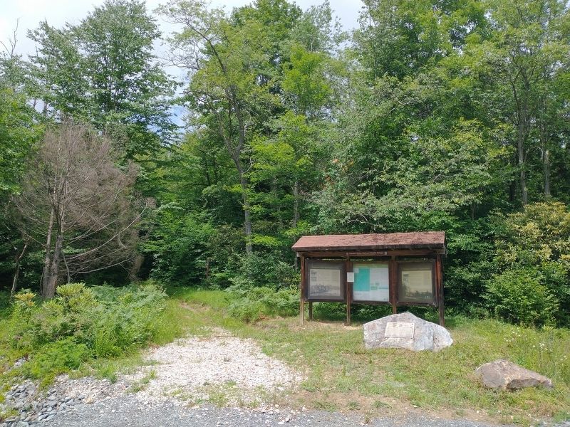
🐦 Eighty-six acres were acquired in 1994 to establish the Refuge. Since that time, the Refuge has grownto more than 16,000 acres.Photographed by Tom Bosse, July 7, 20222. Changing Landscapes, Changing Values MarkerMarker is on the left. To the left of the marker is the Brown Mountain Trail.
🐦 The Refuge is home to 40 distinct plant communities with 580 species of plants and 240 species of mammals, birds, reptiles, amphibians, and fish.
🐦 The Refuge encourages wildlife-dependent forms of recreation such as nature observation, photography, hunting, fishing, environmental education, and interpretive programs.
[Captions]:
Canaan Valley pictured from the top of Cortland Road, circa 1930, elevation 3,500 feet.
Erected by National Fish and Wildlife Foundation.
Topics. This historical marker is listed in these topic lists: Agriculture • Exploration • Parks & Recreational Areas • Settlements & Settlers. A significant historical year for this entry is 1970.
Location. 39° 8.149′ N, 79° 24.317′ W. Marker is near Davis, West Virginia, in Tucker County. It is at the intersection of Camp 70 Road and Brown Mountain Trail, on the left when traveling east on Camp 70 Road. Touch for map. Marker is in this post office area: Davis WV 26260, United States of America. Touch for directions.

Regionally, this marker is in West Virginia’s Potomac Highlands. It is also in the American South, specifically in the Upper South, in Appalachia, and specifically in Northern Appalachia. Globally, it is in North America, the Western Hemisphere, the Western World, and the Anglosphere. Historically, it finds itself in what was once the territory of the Mississippian Culture.
Other nearby markers. At least 8 other markers are within 4 miles of this marker, measured as the crow flies: Numbered Camps with Numbered Days (here, next to this marker); Fairfax Line (here, next to this marker); Canaan Spruce Plantation (approx. 3.1 miles away); Myrtle Mae (Hockman) Shrader (approx. 3.2 miles away); Eagles Club (approx. 3.2 miles away); St. John's Evangelical Lutheran Church (approx. 3.2 miles away); Davis Lunch Room (approx. 3.2 miles away); Inside The Sawmill (approx. 3.2 miles away). Touch for a list and map of all markers in Davis.
Related markers. Click here for a list of markers that are related to this marker.
Credits. This page was last revised on November 13, 2022. It was originally submitted on November 11, 2022, by Tom Bosse of Jefferson City, Tennessee. This page has been viewed 174 times since then and 16 times this year. Photos: 1, 2. submitted on November 11, 2022, by Tom Bosse of Jefferson City, Tennessee. • Devry Becker Jones was the editor who published this page.
