Tybee Island in Chatham County, Georgia — The American South (South Atlantic)
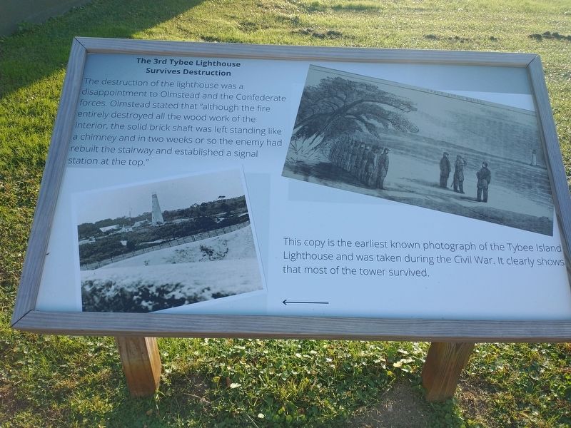
The 3rd Tybee Lighthouse Survives Destruction
Photographed by Craig Doda, November 12, 2022
1. The 3rd Tybee Lighthouse Survives Destruction Marker
This copy is the earliest known photograph of the Tybee Island Lighthouse and was taken during the Civil War. It clearly shows that most of the tower survived.
Topics and series. This historical marker is listed in these topic lists: War, US Civil • Waterways & Vessels. In addition, it is included in the Lighthouses series list. A significant historical month for this entry is November 1861.
Location. 32° 1.341′ N, 80° 50.735′ W. Marker is on Tybee Island, Georgia, in Chatham County. It can be reached from Meddin Drive south of Taylor Street, on the right when traveling south. Located at the Tybee Island Light Station & Museum. Touch for map. Marker is at or near this postal address: 30 Meddin Dr, Tybee Island GA 31328, United States of America. Touch for directions.

Regionally, this
this page online
Other nearby markers. At least 8 other markers are within walking distance of this marker: The 3rd Tybee Island Day Mark Lighthouse 1773-1861 • Damage to the 3rd Tybee Lighthouse 1861 (here, next to this marker); Savannah River Light (here, next to this marker); The 4th Tybee Island Lighthouse 1867-Present (here, next to this marker); Journal of the Light-House Station (here, next to this marker); The 1st Tybee Island Day Mark • The 2nd Tybee Island Day Mark 1742-1768 (here, next to this marker); Life at the Tybee Island Light Station (here, next to this marker); Tybee Front Range Light • Front Range Light
Photographed by Craig Doda, November 12, 2022
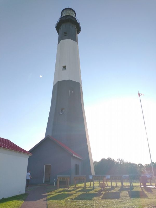
2. Tybee Island Light
Also see . . . Tybee Island Light Station & Museum. (Submitted on November 23, 2022.)
Photographed by Craig Doda, November 12, 2022
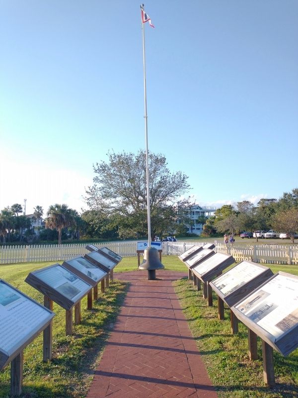
3. The 3rd Tybee Lighthouse Survives Destruction Marker
Credits. This page was last revised on November 23, 2022. It was originally submitted on November 18, 2022, by Craig Doda of Napoleon, Ohio. This page has been viewed 236 times since then and 34 times this year. Photos: 1, 2, 3. submitted on November 18, 2022, by Craig Doda of Napoleon, Ohio. • Bernard Fisher was the editor who published this page.
