Near Libby in Aitkin County, Minnesota — The American Midwest (Upper Plains)
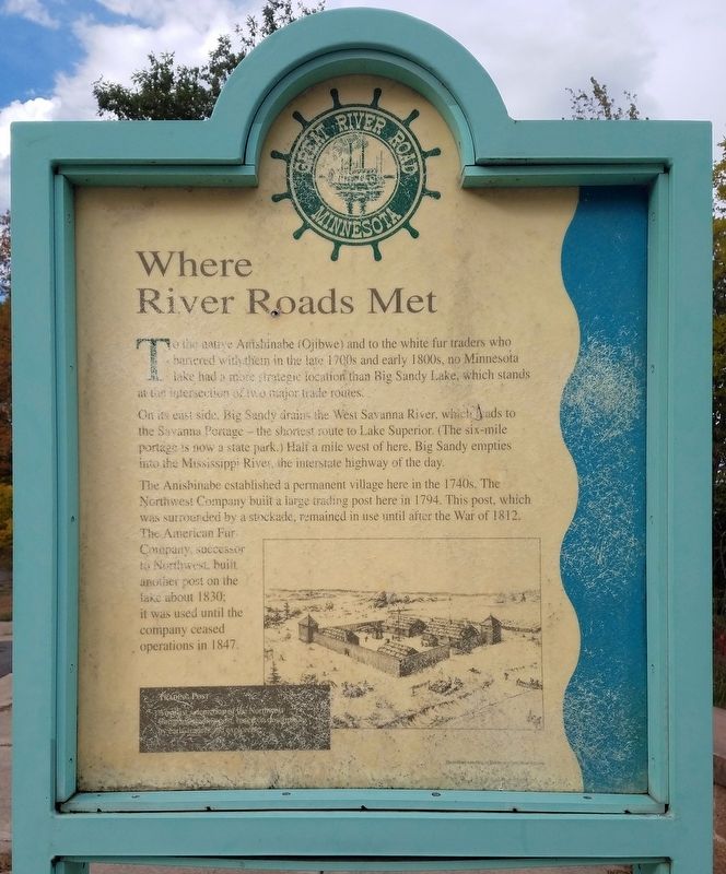
Where River Roads Met
To the native Anishinabe (Ojibwe) and to the white fur traders who bartered with them in the late 1700s and early 1800s, no Minnesota lake had a more strategic location than Big Sandy Lake, which stands at the intersection of two major trade routes.
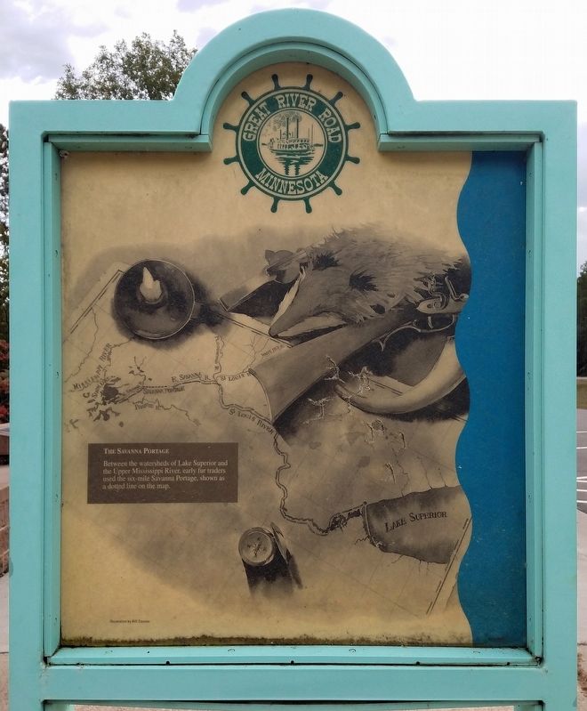
On its east side, Big Sandy drains the West Savanna River, which leads to the Savanna Portage – the shortest route to Lake Superior. (The six-mile portage is now a state park.) Half a mile west of here, Big Sandy empties into the Mississippi River, the interstate highway of the day.
The Anishinabe established a permanent village here in the 1740s. The Northwest Company built a large trading post here in 1794. This post, which was surrounded by a stockade, remained in use until after the War of 1812. The American Fur Company, successor to the Northwest, built another post on the lake about 1830; it was used until the company ceased operations in 1847.
Trading Post
An artist's depiction of the Northwest Company's outpost, based on descriptions by early traders and explorers.
The Savanna Portage
Between the watersheds of Lake Superior and the Upper Mississippi River, early fur traders used the six-mile Savanna Portage, shown as a dotted line on the map.
Topics and series. This historical marker is listed in these topic lists: Industry & Commerce • Native Americans • Settlements & Settlers • Waterways & Vessels. In addition, it is included in the Minnesota Great River Road series list. A significant historical year for this entry is 1740.
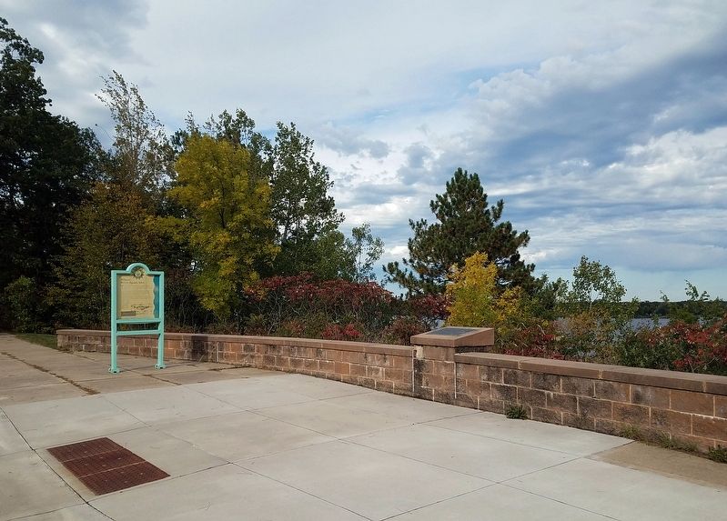
Location. 46° 46.459′ N, 93° 19.607′ W. Marker is near Libby, Minnesota, in Aitkin County. Marker is on Minnesota Route 65, 0.2 miles south of 528th Lane, on the right when traveling north. The marker is at the Big Sandy Lake Wayside Rest, on the north end of the scenic overlook. Touch for map. Marker is in this post office area: Palisade MN 56469, United States of America. Touch for directions.
Other nearby markers. At least 5 other markers are within 12 miles of this marker, measured as the crow flies. Big Sandy Lake Reservoir (here, next to this marker); The Ojibwe's Sandy Lake Journey (within shouting distance of this marker); "Tell him I blame him for the children we have lost...." (within shouting distance of this marker); Sandy Lake Post (approx. one mile away); Glacial Lake Aitkin / Peat (approx. 11.6 miles away).
Credits. This page was last revised on November 25, 2022. It was originally submitted on November 20, 2022, by McGhiever of Minneapolis, Minnesota. This page has been viewed 121 times since then and 27 times this year. Photos: 1, 2, 3. submitted on November 20, 2022, by McGhiever of Minneapolis, Minnesota. • Devry Becker Jones was the editor who published this page.


