Near Williams in Lake of the Woods County, Minnesota — The American Midwest (Upper Plains)
An Early Way of Life / The First Roads
An Early Way of Life
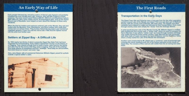
Early people followed the retreating waters of Glacial Lake Agassiz and probably inhabited the area 4-8,000 years ago, however, they left little evidence of their presence. The more recent Laurel Culture (200 B.C.-800 A.D.) and Blackduck Culture (800-1400 A.D.) left a more visible record. Archaeological sites, such as the Grand Mound east of Baudette, have helped up learn about the lifeways of these early residents.
When the first fur traders and explorers entered Lake of the Woods, they met and traded with the Monsoni, Cree, Assiniboine, and Sioux Indians who made their homes here at various times. They hunted, fished the big waters and maintained vegetable gardens. It was not until the mid to late 1700s that the Ojibwe moved into the area from further east.
Settlers at Zippel Bay - A Difficult Life
By 1904 nearly two-thirds of what is presently Zippel Bay State Park had been requested for homesteading. Early settlers based their income on the fishery or on logging. They cleared enough land to build a home, raise food for the family, and raise hay for the horses that they used in logging. They tell of the irritation from large swarms of mosquitoes and from "bulldogs," what today we call horseflies, that drew blood on horses' and cows' legs.
Here, Jane Zippel, wife of commercial fisherman Wilhelm Zippel, posed for a photo outside a typical settler's cabin.
The First Roads
Transportation in the Early Days
The Zippel Town Site and Fisheries were a long way from the few other population centers around Lake of the Woods and inland. This area was then part of Beltrami County, with the county seat in Bemidji, 200 miles away. The Zippels and other residents had to depend on water and railroads for their transportation. Early roads through marshy areas were simply the "dump" from the drainage ditches.
In what would become Lake of the Woods County, Mr. Wilhelm Zippel is credited with building the first county road, a "winter road" which he used to transport his fish to Warroad. It was called a "winter road" as it went through marshes and bogs, only usable during the frozen winter months. From Warroad the trail connected with other trails or roads running to the town of Stephen and the Red River Valley where a lively market for Lake of the Woods fish developed.
Another road constructed by Mr. Zippel was a "corduroy" road of horizontal logs crossing the marsh heading south out of his fisher operation at the mouth of Zippel Bay. The remains of this road are still visible from the air during low water times.
Topics. This historical marker is listed in these topic lists: Anthropology & Archaeology
• Native Americans • Roads & Vehicles • Settlements & Settlers. A significant historical year for this entry is 1904.
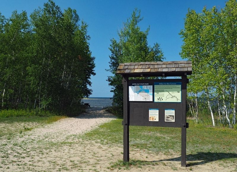
Location. 48° 52.075′ N, 94° 50.896′ W. Marker is near Williams, Minnesota, in Lake of the Woods County. Marker is on 54th Avenue Northwest (County Road 34) 2.7 miles north of County Road 8NW, on the left when traveling north. The markers are in Zippel Bay State Park (fee area), at the northwest passage between the beach parking lot and the beach. Touch for map. Marker is at or near this postal address: 3684 54th Avenue NW, Williams MN 56686, United States of America. Touch for directions.
Other nearby markers. At least 2 other markers are within 2 miles of this marker, measured as the crow flies. The Zippel Town Site and Levee / The Zippel Fishery (about 300 feet away, measured in a direct line); Welcome to Garden Island State Recreation Area (approx. 1.2 miles away).
Credits. This page was last revised on November 27, 2022. It was originally submitted on November 22, 2022, by McGhiever of Minneapolis, Minnesota. This page has been viewed 72 times since then and 7 times this year. Photos: 1, 2. submitted on November 22, 2022, by McGhiever of Minneapolis, Minnesota. • Devry Becker Jones was the editor who published this page.

