Argyle in Sanilac County, Michigan — The American Midwest (Great Lakes)
Sanilac Petroglyphs
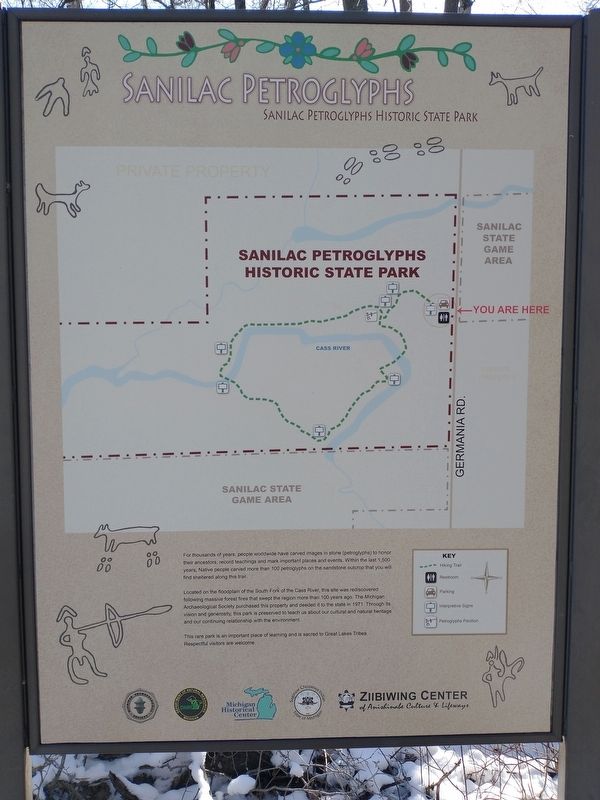
For thousands of years, people worldwide have carved images in stone (petroglyphs) to honor their ancestors, record teachings and mark important places and events. Within the last 1,500 years, Native people carved more than 100 petroglyphs on the sandstone outcrop that you will find sheltered along this trail.
Located on the floodplain of the South Fork of the Cass River, this site was rediscovered following massive forest fires that swept the region more than 100 years ago. The Michigan Archaeological Society purchased this property and deeded it to the state in 1971. Through its vision and generosity, this park is preserved to teach us about our cultural and natural heritage and our continuing relationship with the environment.
This rare park is an important place of learning and is sacred to Great Lakes Tribes. Respectful visitors are welcome.
Topics. This historical marker is listed in these topic lists: Anthropology & Archaeology • Native Americans • Parks & Recreational Areas. A significant historical year for this entry is 1971.
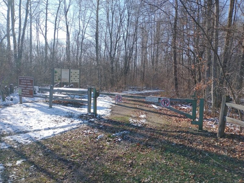
Location. 43° 39.399′ N, 83° 1.103′ W. Marker is in Argyle, Michigan, in Sanilac County. Marker is on South Germania Road, half a mile south of Bay City Forestville Road, on the right when traveling south. Touch for map. Marker is at or near this postal address: 8499-8001 S Germania Rd, Cass City MI 48726, United States of America. Touch for directions.
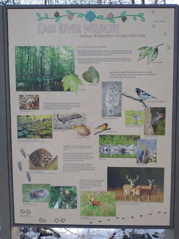
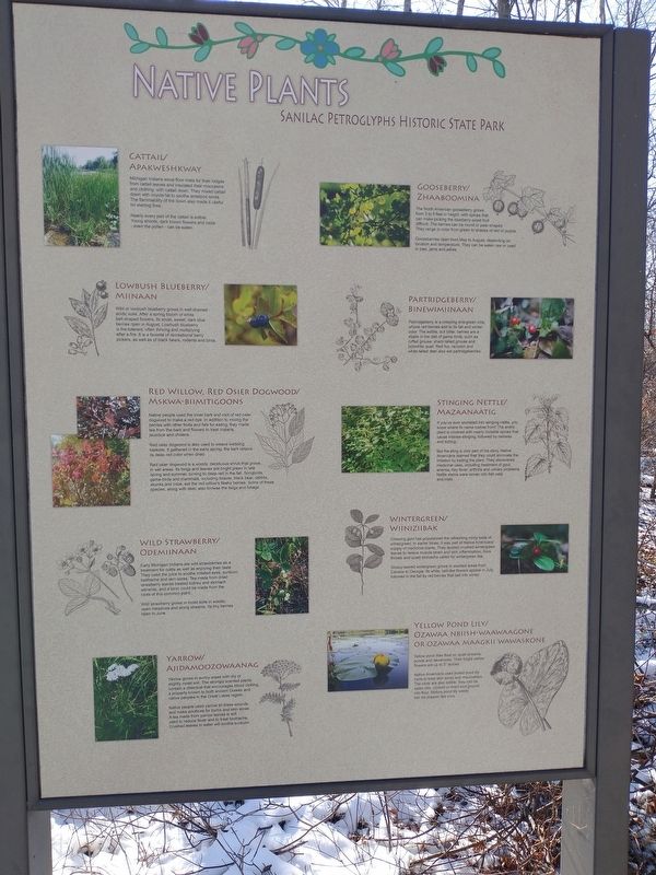
Other nearby markers. At least 8 other markers are within 9 miles of this marker, measured as the crow flies. Native Plants (here, next to this marker); Sanilac Petroglyphs Park Geneology (about 600 feet away, measured in a direct line); Archaeology (about 700 feet away); Ezhibiigaadek Asia (about 700 feet away); Citizens Bank Block (approx. 5.7 miles away); State Reward Road No. 1 (approx. 7.8 miles away); First Presbyterian Church (approx. 8.7 miles away); Elkland Township Hall (approx. 8.8 miles away). Touch for a list and map of all markers in Argyle.
Credits. This page was last revised on November 27, 2022. It was originally submitted on November 23, 2022, by Craig Doda of Napoleon, Ohio. This page has been viewed 77 times since then and 7 times this year. Photos: 1, 2, 3, 4. submitted on November 23, 2022, by Craig Doda of Napoleon, Ohio. • Devry Becker Jones was the editor who published this page.


