Greenbrier West in Chesapeake, Virginia — The American South (Mid-Atlantic)
Village of Great Bridge
A Vital Link
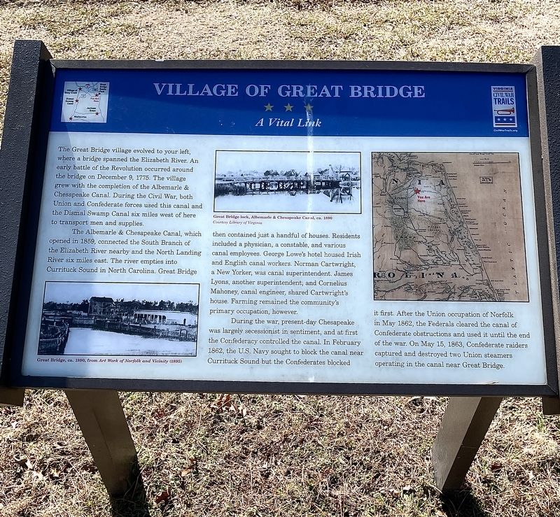
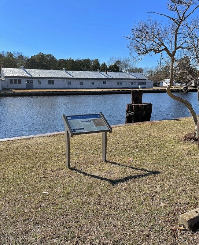
The Great Bridge village evolved to your left, where a bridge spanned the Elizabeth River. An early battle of the Revolution occurred around the bridge on December 9, 1775. The village grew with the completion of the Albemarle & Chesapeake Canal. During the Civil War, both Union and Confederate forces used this canal and the Dismal Swamp Canal six miles west of here to transport men and supplies.
The Albemarle & Chesapeake Canal, which opened in 1859, connected the South Branch of the Elizabeth River nearby and the North Landing River six miles east. The river empties into Currituck Sound in North Carolina. Great Bridge then contained just a handful of houses. Residents included a physician, a constable, and various canal employees. George Lowe’s hotel housed Irish and English canal workers. Norman Cartwright, a New Yorker, was canal superintendent. James Lyons, another superintendent, and Cornelius Mahoney, canal engineer, shared Cartwight’s house. Farming remained the community’s primary occupation, however.
During the war, present-day Chesapeake was largely secessionist in sentiment, and at first the Confederacy controlled the canal. In February 1862, the U.S. Navy sought to block the canal near Currituck Sound but the Confederates blocked it first. After the Union occupation of Norfolk in May, 1862, the Federals cleared the canal of Confederate obstructions and used it until the end of the war. On May 15, 1863, Confederate raiders captured and destroyed two Union steamers operating in the canal near Great Bridge.
Erected by Virginia Civil War Trails.
Topics and series. This memorial is listed in these topic lists: Settlements & Settlers • War, US Civil • War, US Revolutionary • Waterways & Vessels. In addition, it is included in the Virginia Civil War Trails series list. A significant historical date for this entry is May 15, 1863.
Location. 36° 43.391′ N, 76° 14.723′ W. Marker is in Chesapeake, Virginia. It is in Greenbrier West. Memorial is on Locks Road, 0.3 miles west of North Battlefield Boulevard (Virginia Route 168), on the left when traveling west. Located in Great Bridge Lock Park. Touch for map. Marker is at or near this postal address: 100 Locks Rd, Chesapeake VA 23320, United States of America. Touch for directions.
Other nearby markers. At least 8 other markers are within walking distance of this marker. The Battle of Great Bridge (about 400 feet away, measured in a direct line); Welcome (about 400 feet away); Bridging the Past with the Present (about 400 feet away); What is a Lock? (about 500 feet away); Why Build a Canal Here? (about 500 feet away); The Iron Titans Tame the Marsh (about 500 feet away); Liquid Highways (about 500 feet away); Marine Veterans Memorial (approx. ¼ mile away). Touch for a list and map of all markers in Chesapeake.
Related marker. Click here for another marker that is related to this marker. Old Marker At This Location also titled "Village of Gteat Bridge".
Also see . . . Albemarle & Chesapeake Canal Historic District. (Submitted on February 28, 2022, by Brandon D Cross of Flagler Beach, Florida.)
Credits. This page was last revised on February 1, 2023. It was originally submitted on February 28, 2022, by Brandon D Cross of Flagler Beach, Florida. This page has been viewed 295 times since then and 31 times this year. Last updated on November 25, 2022, by Carl Gordon Moore Jr. of North East, Maryland. Photos: 1, 2. submitted on February 28, 2022, by Brandon D Cross of Flagler Beach, Florida. • Devry Becker Jones was the editor who published this page.

