Near Sioux Falls in Lincoln County, South Dakota — The American Midwest (Upper Plains)
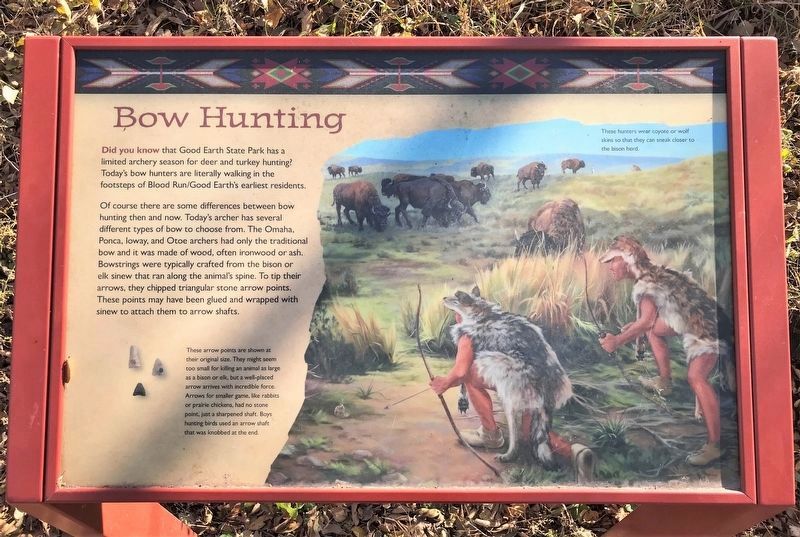
Bow Hunting
October 30, 2022
1. Bow Hunting Marker
Of course there are some differences between bow hunting then and now. Today's archer has several different types of bow to choose from. The Omaha, Ponca, Ioway, and Otoe archers had only the traditional bow and it was made of wood, often ironwood or ash. Bowstrings were typically crafted from the bison or elk sinew that ran along the animal's spine. To tip their arrows, they chipped triangular stone arrow points. These points may have been glued and wrapped with sinew to attach them to arrow shafts.
These arrow points are shown at their original size. They might seem too small for killing an animal as large as a bison or elk, but a well-placed arrow arrives with incredible force. Arrows for smaller game, like rabbits or prairie chickens, had no stone point, just a sharpened shaft. Boys hunting birds used an arrow shaft that was knobbed at the end.
These hunters wear coyote or wolf skins so that they can sneak closer to the bison herd.
Topics.
this page online
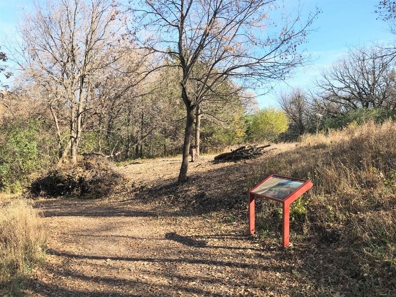
Location. 43° 28.56′ N, 96° 35.535′ W. Marker is near Sioux Falls, South Dakota, in Lincoln County. It can be reached from 480th Avenue (County Highway 135) ¼ mile south of 269th Street (County Highway 102). Located on the River Trail in Good Earth State Park. Touch for map. Marker is at or near this postal address: 26924 480th Ave, Sioux Falls SD 57108, United States of America. Touch for directions.

Regionally, this marker is in East River. It is also in the American Midwest, in the Lewis & Clark Corridor, in the Corn Belt, on the prairies, and on the Northern Plains. Globally, it is in North America, the Western Hemisphere, the Western World, and the Anglosphere. Historically, it finds itself in what was once Rupert’s Land and also the Louisiana Purchase.
Other nearby markers. At least 8 other markers are within walking distance of this marker: Sacred Images (about 600 feet away, measured in a direct line); 1600s (about 700 feet away); 1300s (about
October 30, 2022
2. Bow Hunting Marker
Credits. This page was last revised on November 26, 2022. It was originally submitted on November 25, 2022. This page has been viewed 245 times since then and 23 times this year. Photos: 1, 2. submitted on November 25, 2022.
