Near Denison in Grayson County, Texas — The American South (West South Central)
Lake Texoma
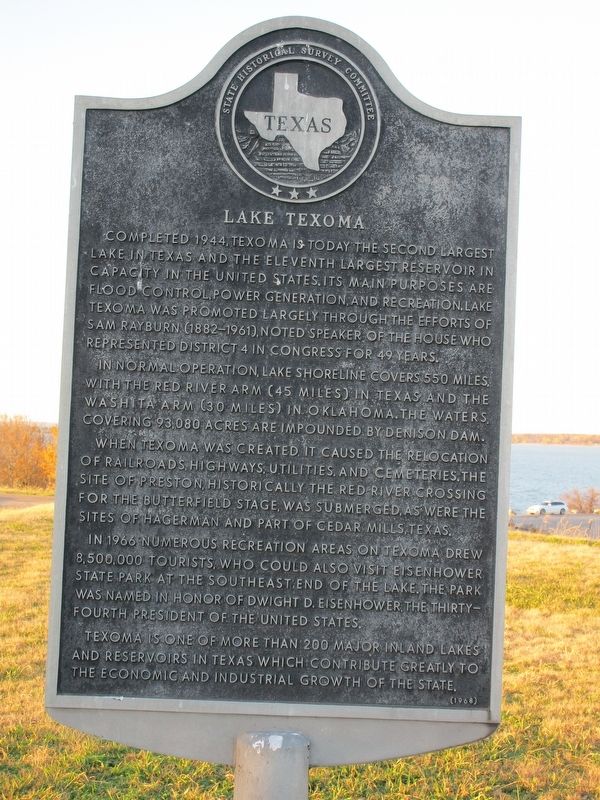
Completed 1944, Texoma is today the second largest lake in Texas and the eleventh largest reservoir in capacity in the United States. Its main purposes are flood control, power generation, and recreation. Lake Texoma was promoted largely through the efforts of Sam Rayburn (1882-1961), noted speaker of the house who represented District 4 in Congress for 49 years.
In normal operation, lake shoreline covers 550 miles, with the Red River arm (45 miles) in Texas and the Washita arm (30 miles) in Oklahoma covering 93,080 acres. The waters are impounded by Denison Dam.
When Texoma was created, it caused the relocation of railroads, highways, utilities, and cemeteries. The site of Preston, historically the Red River crossing for the Butterfield Stage, was submerged, as were the sites of Hagerman and part of Cedar Mills, Texas.
In 1966 numerous recreation areas on Texoma drew 8,500,000 tourists, who could also visit Eisenhower State Park at the southeast end of the lake. The park was named in honor of Dwight D. Eisenhower, the thirty-fourth president of the United States.
Texoma is one of more than 200 major inland lakes and reservoirs in Texas which contribute greatly to the economic and industrial growth of the state.
Erected 1967 by Texas Historical Commission . (Marker Number 7393.)
Topics. This historical marker is listed in these topic lists: Parks & Recreational Areas • Waterways & Vessels.
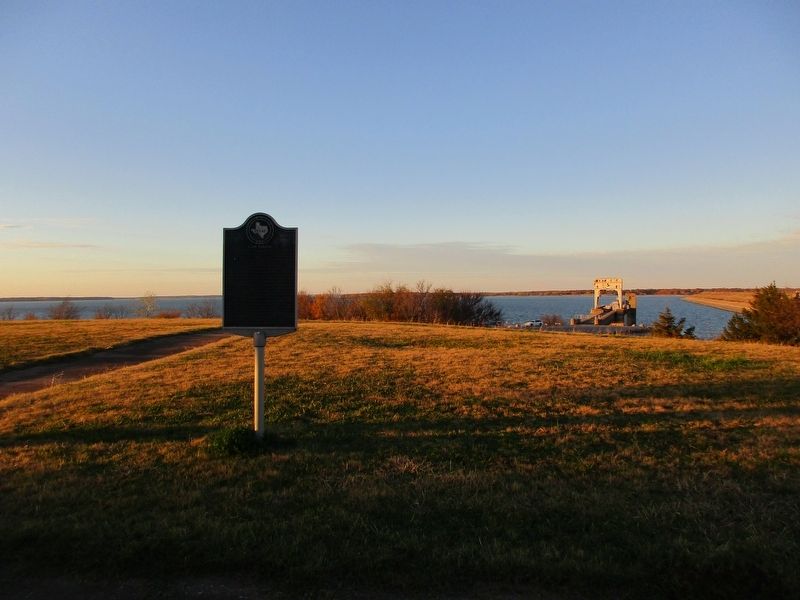
Location. 33° 48.972′ N, 96° 34.353′ W. Marker is near Denison, Texas, in Grayson County. Marker can be reached from the intersection of Farm to Market Road 1310 and State Highway 91. The marker is on FM 1310 / SH 91 in the overlook area of Lake Texoma, 4 mi. NW of Denison. Touch for map. Marker is in this post office area: Denison TX 75020, United States of America. Touch for directions.
Other nearby markers. At least 8 other markers are within 4 miles of this marker, measured as the crow flies. 1931 Free Bridge Controversy (approx. 2.1 miles away); Colbert's Ferry (approx. 2.1 miles away); Coffman Cemetery (approx. 3.4 miles away); J.K. Miller House (approx. 3.8 miles away); Miller's Spring (approx. 3.9 miles away); The Message Tree (approx. 3.9 miles away in Oklahoma); Site of Terrell High School (approx. 4 miles away); W. B. and Ella Munson Home (approx. 4.1 miles away). Touch for a list and map of all markers in Denison.
Credits. This page was last revised on December 12, 2022. It was originally submitted on December 7, 2022, by Jeff Leichsenring of Garland, Texas. This page has been viewed 85 times since then and 11 times this year. Photos: 1, 2. submitted on December 7, 2022, by Jeff Leichsenring of Garland, Texas. • J. Makali Bruton was the editor who published this page.

