Riverside in Baltimore, Maryland — The American Northeast (Mid-Atlantic)
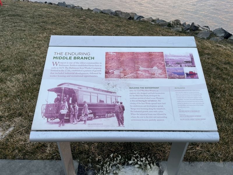
The Enduring Middle Branch
Westport is one of the oldest communities in Baltimore. Settlers established farms here as early as 1675. The Baltimore Iron Works Company formed in the 1730s, established a pattern of growth that included industrial development, followed by worker housing and recreational opportunities.
Building the Waterfront
After the Civil War, Ross Winans, an engineer who designed and built locomotives for the B&O Rail road, developed the southeast portion of what is now Westport, as low cost housing for rail laborers. The closing of the Iron Works opened more land for subdivisions and development spread. Things were booming along the waterfront. But industrial growth came with a price. When the industrial boom was followed by a bust, the cost of the river and surrounding environment became painfully apparent.
Revitalization
Numerous public and private organizations have banded together to raise awareness about the importance of the Chesapeake Bay and take steps to protect it. In recent times, a master plans for Westport's renewal were completed. The plans repurpose abandoned warehouses and obsolete factories to create places for people to live, work, and enjoy the natural beauty and resources of the Middle Branch once more.
Topics and series. This historical marker is listed in these topic lists: Colonial Era • Environment • Industry & Commerce • Natural Resources • Settlements & Settlers • Waterways & Vessels. In addition, it is included in the Baltimore and Ohio Railroad (B&O) series list. A significant historical year for this entry is 1675.
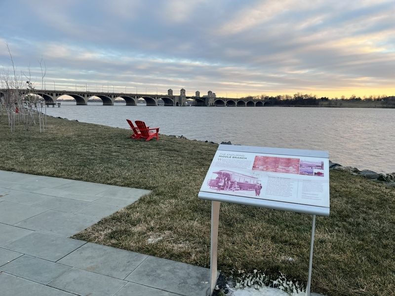
Location. 39° 15.686′ N, 76° 37.11′ W. Marker is in Baltimore, Maryland. It is in Riverside. Marker can be reached from the intersection of West Cromwell Street and Clarkson Street, on the right when traveling east. The marker stands on the grounds of West Covington Park. Touch for map. Marker is at or near this postal address: 101 W Cromwell St, Baltimore MD 21230, United States of America. Touch for directions.
Other nearby markers. At least 8 other markers are within walking distance of this marker. River, Industry, & Community (about 400 feet away, measured in a direct line); A River that Shaped a City (about 600 feet away); Restoring Space (about 600 feet away); Welcome to West Covington Park (approx. 0.2 miles away); Vietnam Veterans Memorial Bridge
Credits. This page was last revised on December 25, 2022. It was originally submitted on December 25, 2022, by Devry Becker Jones of Washington, District of Columbia. This page has been viewed 102 times since then and 22 times this year. Photos: 1, 2. submitted on December 25, 2022, by Devry Becker Jones of Washington, District of Columbia.

