Cherry Hill Park in Baltimore, Maryland — The American Northeast (Mid-Atlantic)
Gwynns Falls Trail
Middle Branch Park at Hanover Street
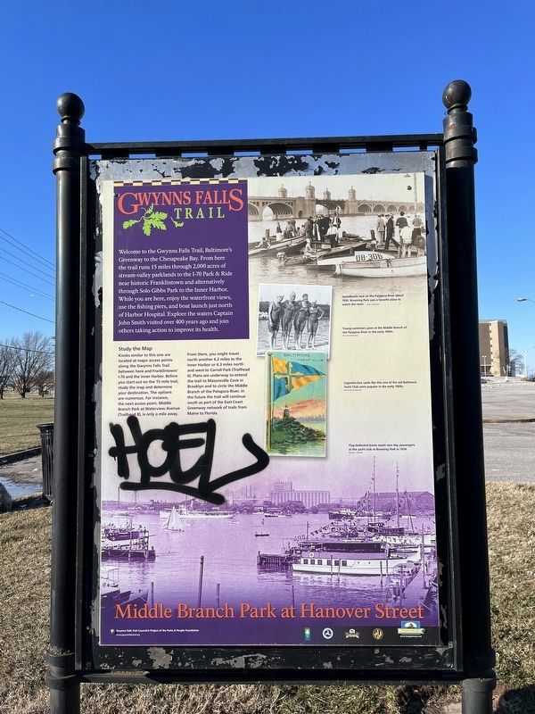
Welcome to the Gwynns Falls Trail, Baltimore's Greenway to the Chesapeake Bay. From here the trail runs 15 miles through 2,000 acres of stream-valley parklands to the I-70 Park & Ride near historic Franklintown and alternatively through Solo Gibbs Park to the Inner Harbor. While you are here, enjoy the waterfront views, use the fishing piers, and boat launch just north of Harbor Hospital. Explore the waters Captain John Smith visited over 400 years ago and join others taking action to improve its health.
Study the Map
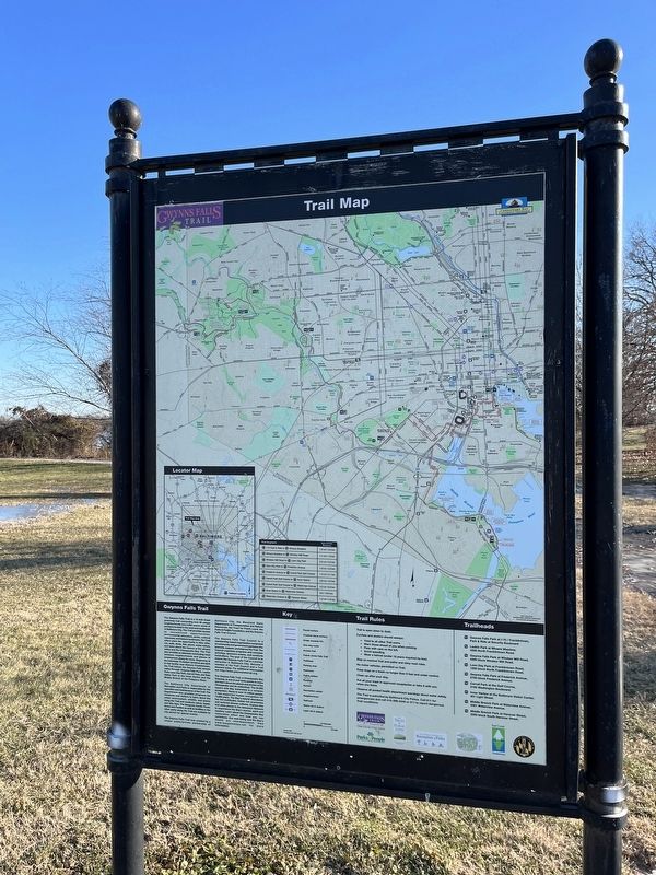
Kiosks similar to this one are located at major access points along the Gwynns Falls Trail between here and Franklintown/I-70 and the Inner Harbor. Before you start out on the 15-mile trail, study the map and determine your destination. The options are numerous. For instance, the next access point, Middle Branch Park at Waterview Avenue (Trailhead 8), is only a mile away.
From there, you might travel north another 6.2 miles to the Inner Harbor or 4.3 miles north and west to Carroll Park (Trailhead 6). Plans are underway to extend the trail to Masonsville Cove in Brooklyn and to circle the Middle Branch of the Patapsco River. In the future the trail will continue south as part of the East Coast Greenway network of trails from Maine to Florida.
[Captions:]
Speedboats race on the Patapsco River about 1950. Broening Park was a favorite place to watch the races.
Young swimmers pose at the Middle Branch of the Patapsco River in the early 1900s.
Cigarette box cards like this one of the old Baltimore Yacht Club were popular in the early 1900s.
Flag-bedecked boats await race-day passengers at the yacht club at Broening Park in 1934.
Erected by Gwynns Falls Trail Council/A Project of the Parks & People Foundation.
Topics. This historical marker is listed in these topic lists: Colonial Era • Exploration • Parks & Recreational Areas • Sports • Waterways & Vessels. A significant historical year for this entry is 1950.
Location. 39° 14.934′ N, 76° 36.748′ W. Marker has been reported damaged. Marker is in Baltimore, Maryland. It is in Cherry Hill Park. Marker is on South Hanover Street (Maryland Route 2) south of Redbird Avenue, on the right when traveling north. The marker stands at Trailhead 9 of the Middle Branch Trail. Touch for map. Marker is at or near this postal address: 3131 S Hanover St, Brooklyn MD 21225, United States of America. Touch for directions.
Other nearby markers. At least 8 other markers are within walking distance of this location. Cherry Hill (a few steps from this marker); Hippocrates' Platanus (Sycamore) (approx. ¼ mile away); On Guard (approx. 0.4 miles away); Maryland Vietnam Veterans Memorial
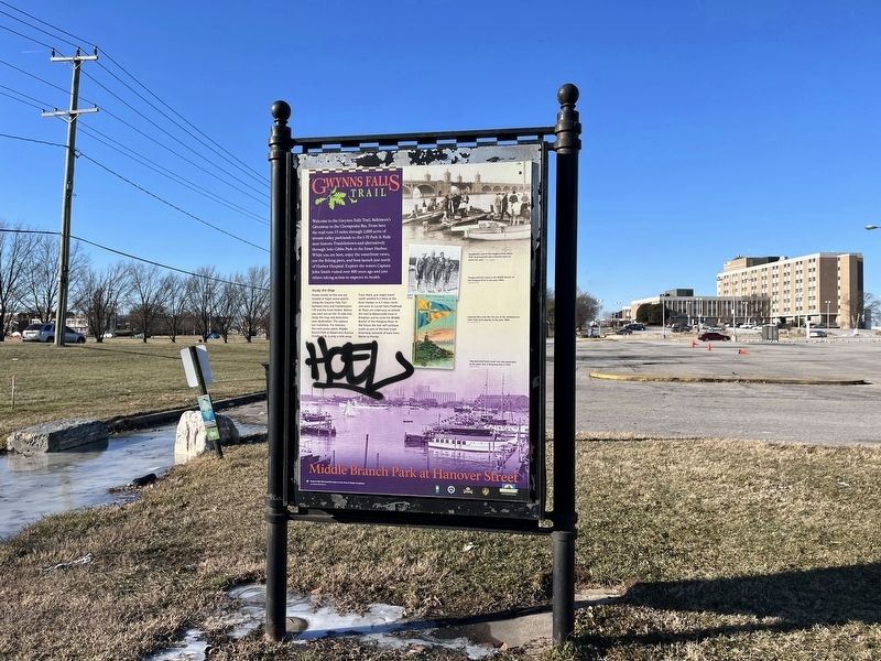
More about this marker. Unfortunately, the marker has been defaced.
Credits. This page was last revised on April 6, 2023. It was originally submitted on December 26, 2022, by Devry Becker Jones of Washington, District of Columbia. This page has been viewed 57 times since then and 2 times this year. Photos: 1, 2, 3. submitted on December 26, 2022, by Devry Becker Jones of Washington, District of Columbia.


