Morgan Hill in Santa Clara County, California — The American West (Pacific Coastal)
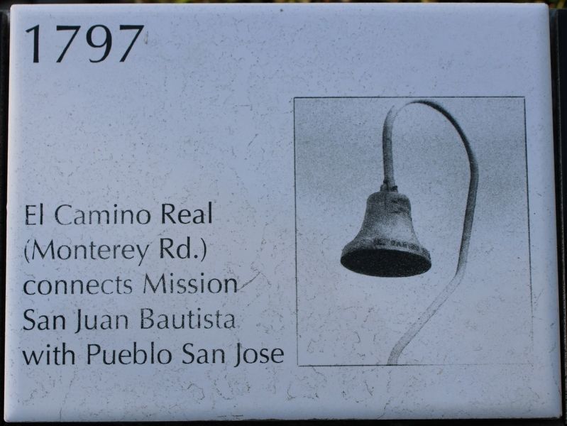
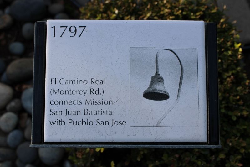
El Camino Real
1797
Erected by Morgan Hill Historical Society.
Topics and series. This historical marker is listed in these topic lists: Churches & Religion • Colonial Era • Hispanic Americans • Roads & Vehicles. In addition, it is included in the El Camino Real, “The King's Highway” (California) series list. A significant historical year for this entry is 1797.
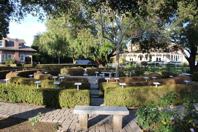
Location. 37° 8.067′ N, 121° 39.455′ W. Marker is in Morgan Hill, California, in Santa Clara County. Marker can be reached from Monterey Highway near Wright Avenue. The ceramic marker is mounted to a metal stand in the spiral Centennial History Trail rose garden. Touch for map. Marker is at or near this postal address: 17860 Monterey Highway, Morgan Hill CA 95037, United States of America. Touch for directions.
Other nearby markers. At least 8 other markers are within walking distance of this marker. 4000 BC to 1769 (here, next to this marker); Catherine O’Toole Murphy Dunne (here, next to this marker); Circle of Circles (here, next to this marker); The Sun Times (here, next to this marker); Rancho Ojo de Agua de la Coche (here, next to this marker); First Grammar School (here, next to this marker); Bank of Morgan Hill (here, next to this marker); [Morgan Hill] Centennial Project (here, next to this marker). Touch for a list and map of all markers in Morgan Hill.
Also see . . .
1. The Royal Road, aka The King’s Highway.
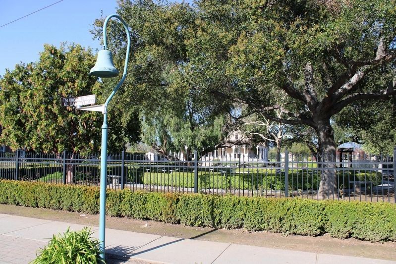
"El Camino Real – “the Royal Road” – is inextricably linked to the history of California’s missions. The 600-mile trail, stretching from Mission San Diego de Alcalá in San Diego to Mission San Francisco Solano in Sonoma, was created by the Spanish to link the 21 California missions and the associated settlements and presidios. Missions were located approximately 30 miles apart – a long day’s ride on horseback."(Submitted on December 27, 2022, by Joseph Alvarado of Livermore, California.)
2. Centennial History Trail.
"The Morgan Hill Centennial History Trail was created to celebrate the 100th anniversary of the incorporation of the City of Morgan Hill. Starting at the center marker and then proceeding along an expanding spiral trail, you will pass approximately 100 raised post markers describing events in the history of Morgan Hill and the surrounding area."(Submitted on December 27, 2022, by Joseph Alvarado of Livermore, California.)
Credits. This page was last revised on March 28, 2023. It was originally submitted on December 27, 2022, by Joseph Alvarado of Livermore, California. This page has been viewed 94 times since then and 20 times this year. Photos: 1, 2, 3. submitted on December 27, 2022, by Joseph Alvarado of Livermore, California. 4. submitted on March 28, 2023, by Joseph Alvarado of Livermore, California.


