Sulphur Springs in DeKalb County, Alabama — The American South (East South Central)
The De Soto Trail
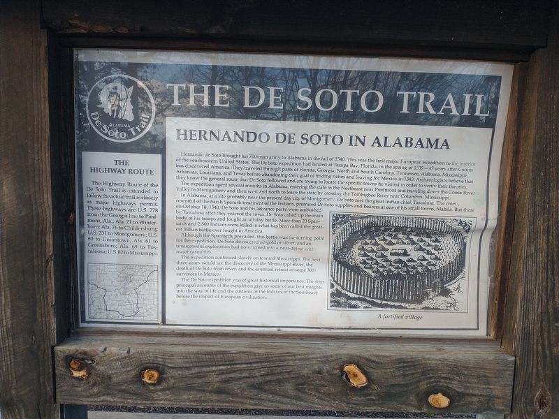
Hernando De Soto In Alabama
Hernando De Soto brought his 700-man army to Alabama in the fall of 1540. This was the first major European expedition to the interior of the southeastern United States. The De Soto expedition had landed at Tampa Bay, Florida, in the spring of 1539-47 years after Columbus discovered America. They traveled through parts of Florida, Georgia, North and South Carolina, Tennessee, Alabama, Mississippi, Arkansas, Louisiana, and Texas before abandoning their goal of finding riches and leaving for Mexico in 1543. Archaeologists believe that they know the general route that De Soto followed and are trying to locate the specific towns he visited in order to verify their theories.
The expedition spent several months in Alabama, entering the state in the Northeast near Piedmont and traveling down the Coosa River Valley to Montgomery and then west and north to leave the state by crossing the Tombigbee River near Columbus, Mississippi.
In Alabama, at a site probably near the present day city of Montgomery, De Soto met the great Indian chief, Tascalusa. The chief, resentful of the harsh Spanish treatment of the Indians, promised De Soto supplies and bearers at one of his small towns, Mabila. But there on October 18, 1540, De Soto and his advance party were ambushed by Tascalusa after they entered the town. De Soto called up the main body of his troops and fought an all-day battle. More than 20 Spaniards and 2,500 Indians were killed in what has been called the greatest Indian battle ever fought in America.
Although the Spaniards prevailed, this battle was the turning point for the expedition. De Soto discovered no gold or silver, and an unsuccessful exploration had now turned into a near-defeat with major casualties.
The expedition continued slowly on toward Mississippi. The next three years would see the discovery of the Mississippi River, the death of De Soto from fever, and the eventual retreat of some 300 survivors to Mexico.
The De Soto expedition was of great historical importance. The four principal accounts of the expedition give us some of our best insights into the way of life and the customs of the Indians of the Southeast before the impact of European civilization.
The Highway Route
The Highway Route of the De Soto Trail is intended to follow the actual trail as closely as major highways permit. These highways are U.S. 278 from the Georgia line to Piedmont, Ala.; Ala. 21 to Winterboro; Ala. 76 to Childersburg; U.S. 231 to Montgomery; U.S. 80 to Uniontown; Ala. 61 to Greensboro; Ala. 69 to Tuscaloosa; U.S. 82 to Mississippi.
Topics. This historical marker is listed in these topic lists: Colonial Era • Exploration • Roads & Vehicles. A significant historical date for this entry is October 18, 1540.
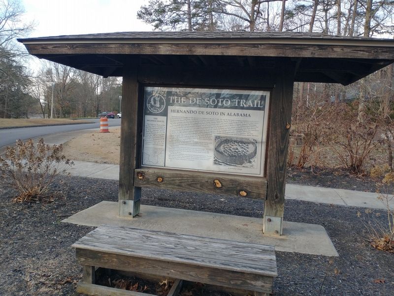
Location. 34° 42.474′ N, 85° 33.587′ W. Marker is in Sulphur Springs, Alabama, in DeKalb County. Marker can be reached from Interstate 59, one mile north of County Road 140, on the right when traveling south. Touch for map. Marker is in this post office area: Valley Head AL 35989, United States of America. Touch for directions.
Other nearby markers. At least 8 other markers are within 9 miles of this marker, measured as the crow flies. A different marker also named The De Soto Trail (here, next to this marker); Wills Town (within shouting distance of this marker); POW-MIA Memorial (within shouting distance of this marker); Veterans Memorial (within shouting distance of this marker); Nisbet Plantation (approx. 2.2 miles away in Georgia); The Road to Chickamauga (approx. 6.3 miles away); Cureton Plantation (approx. 6.4 miles away in Georgia); Flat Rock High School (approx. 8.8 miles away). Touch for a list and map of all markers in Sulphur Springs.
Credits. This page was last revised on June 16, 2023. It was originally submitted on January 3, 2023, by Craig Doda of Napoleon, Ohio. This page has been viewed 217 times since then and 60 times this year. Photos: 1, 2. submitted on January 3, 2023, by Craig Doda of Napoleon, Ohio. • Devry Becker Jones was the editor who published this page.

