Wolverine in Cheboygan County, Michigan — The American Midwest (Great Lakes)
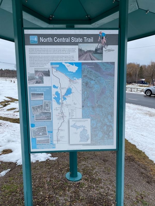
North Central State Trail
Photographed by J.T. Lambrou, January 2, 2023
1. North Central State Trail Marker
The former railroad corridor, which was acquired from the Detroit and Mackinac Railway Company. The corridor between Taylor and Cheboygan was acquired in six separate transactions starting in 1998 and ending in 2000 (1218/1998 to 9/01/2000) from the Detroit & Mackinac Railway Company. The project is being funded through a $1.48 million federal transportation enhancement grant administered by the Michigan Department of Transportation and by state and local matching funds contributed by the DNRE's recreational trails program and by more than 40 local governmental units, businesses and other organizations.
Erected by Michigan DNRE.
Topics. This historical marker is listed
this page online
Location. 45° 16.348′ N, 84° 36.12′ W. Marker is in Wolverine, Michigan, in Cheboygan County. It is at the intersection of East Main Street (County Route 58) and Ballard Street on East Main Street. Touch for map. Marker is at or near this postal address: 13062 Depot Street, Wolverine MI 49799, United States of America. Touch for directions.

Regionally, this marker is in Northern Michigan Lower Peninsula, on the Straits of Mackinac, and in one of the Lake Huron Shore counties. It is also in the American Midwest. Globally, it is in North America, in the Great North Woods, on the Great Lakes, in the Western Hemisphere, in the Western World, and in the Anglosphere. Historically, it finds itself in what was once the Northwest Territory.
Other nearby markers. At least 7 other markers are within 15 miles of this marker, measured as the crow flies: Michigan Central Railroad (here, next to this marker); Michigan Central Depot (within shouting distance of this marker); The Cross in the Woods
Photographed by J.T. Lambrou, January 2, 2023
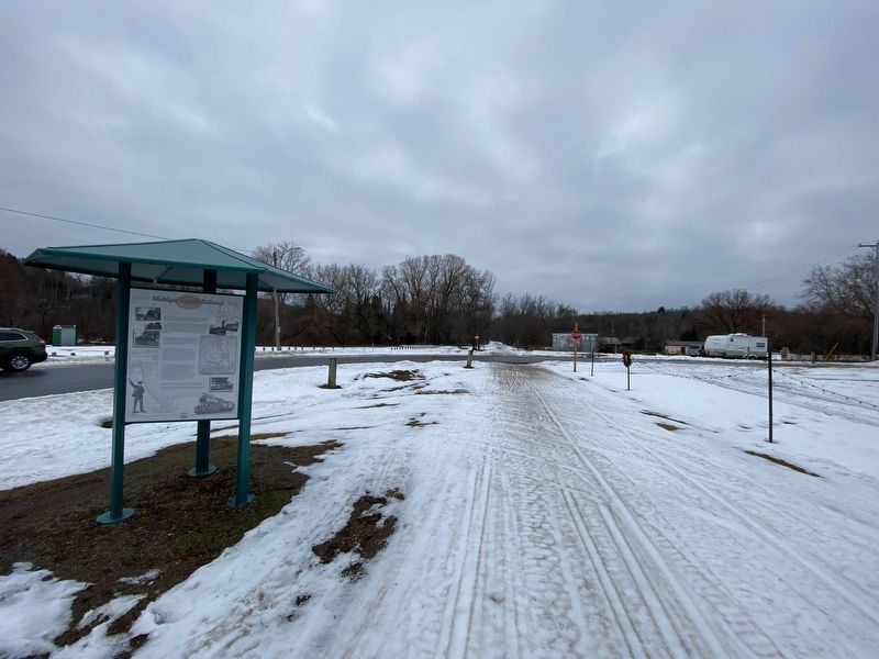
2. North Central State Trail Marker

Photographed by J.T. Lambrou, January 2, 2023
3. North Central State Trail
The Michigan Central Railroad Depot is on the left.
Photographed by J.T. Lambrou, January 2, 2023
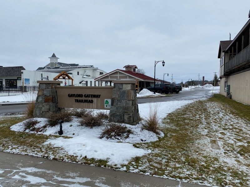
4. North Central State Trail
The southern origin of the trail in Gaylord, Michigan.
Credits. This page was last revised on January 14, 2023. It was originally submitted on January 7, 2023, by J.T. Lambrou of New Boston, Michigan. This page has been viewed 234 times since then and 30 times this year. Photos: 1, 2, 3, 4. submitted on January 7, 2023, by J.T. Lambrou of New Boston, Michigan. • J. Makali Bruton was the editor who published this page.
