
Navasota in Grimes County, Texas — The American South (West South Central)
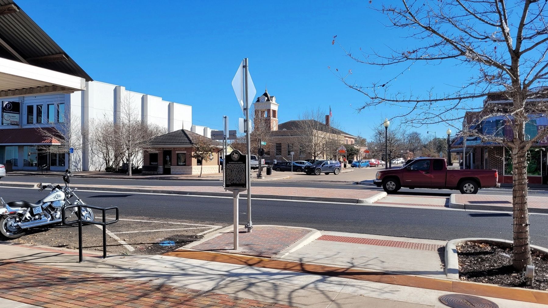
Washington Avenue

Photographed by James Hulse, January 5, 2023
1. Washington Avenue Marker
Erected 2020 by Texas Historical Commission. (Marker Number 22740.)
Topics. This historical marker is listed in these topic lists: Indigenous Peoples and Communities • Industry & Commerce • Roads & Vehicles • Settlements & Settlers. A significant historical year for this entry is 1859.
Location. 30° 23.283′ N, 96° 5.349′ W. Marker is in Navasota, Texas, in Grimes County. It is at the intersection of East Washington Avenue (Farm to Market Road 105) and Farquhar Street, on the right
this page online

Regionally, this marker is in the Prairies & Lakes Region. It is also in the American South. Globally, it is in North America, a Gulf of Mexico state, the Western Hemisphere, the Western World, and the Anglosphere. Historically, it finds itself in what was once New Spain, the Republic of Texas, one of the Confederate States of America, and the Antebellum South.
Other nearby markers. At least 8 other markers are within walking distance of this marker: Mickelborough Building (within shouting distance of this marker); The Leake Building (within shouting distance of this marker); The Giesel House (about 300 feet away, measured in a direct line); The Lewis J. Wilson Building (about 400 feet away); Mance Lipscomb (about 500 feet away); Frank Augustus Hamer (about 500 feet away); La Bahia Trail (about 500 feet away); The Old First National Bank of Navasota (about 500 feet
Photographed by James Hulse, January 5, 2023
2. The view of Washington Avenue and Marker
Also see . . .
1. La Bahía Road. Texas State Historical Association (Submitted on January 8, 2023, by James Hulse of Medina, Texas.)
2. Navasota, TX. Texas State Historical Association (Submitted on January 8, 2023, by James Hulse of Medina, Texas.)
Credits. This page was last revised on January 9, 2023. It was originally submitted on January 8, 2023, by James Hulse of Medina, Texas. This page has been viewed 415 times since then and 34 times this year. Photos: 1, 2. submitted on January 8, 2023, by James Hulse of Medina, Texas.
