Manassas, Virginia — The American South (Mid-Atlantic)
Rose Hill Cemetery
1887 - present
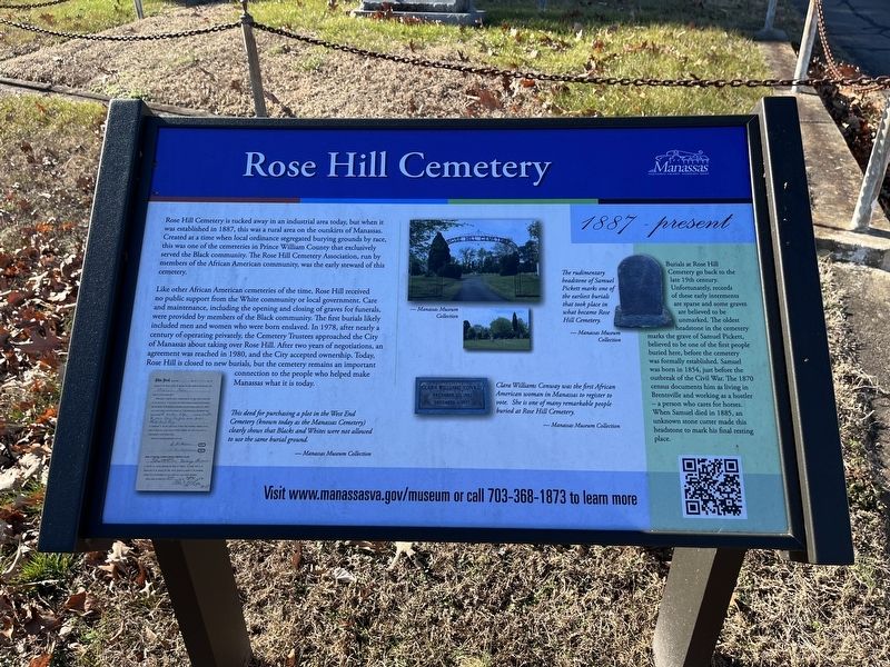
Rose Hill Cemetery is tucked away in an industrial area today, but when it was established in 1887, this was a rural area on the outskirts of Manassas. Created at a time when local ordinance segregated burying grounds by race, this was one of the cemeteries in Prince William County that exclusively served the Black community. The Rose Hill Cemetery Association, run by members of the African American community, was the early steward of this cemetery.
Like other African American cemeteries of the time, Rose Hill received no public support from the White community or local government. Care and maintenance, including the opening and closing of graves for funerals, were provided by members of the Black community. The first burials likely included men and women who were born enslaved. In 1978, after nearly a century of operating privately, the Cemetery Trustees approached the city of Manassas about taking over Rose Hill. After two years of negotiations, an agreement was reached in 1980, and the City accepted ownership. Today, Rose Hill is closed to new burials, but the cemetery remains an important connection to the people
this page online
[Sidebar:]
Burials at Rose Hill Cemetery go back to the late 19th century. Unfortunately, records of these early interments are sparse and some graves are believed to be unmarked. The oldest headstone in the cemetery marks the grave of Samuel Pickett, believed to be one of the first people buried here, before the cemetery was formally established. Samuel was born in 1854, just before the outbreak of the Civil War. The 1870 census documents him as living in Brentsville and working as a hostler — a person who cares for horses. When Samuel died in 1885, an unknown stone cutter made this headstone to mark his final resting place.
[Captions:]
This deed for purchasing a plot in the West End Cemetery (known today as the Manassas Cemetery) clearly shows that Blacks and Whites were not allowed to use the same burial ground.
The rudimentary headstone of Samuel Pickett marks one of the earliest burials that took place in what became Rose Hill Cemetery.
Clara Williams Conway was the first African American woman in Manassas to register to vote. She is one of many remarkable people buried at Rose Hill Cemetery.
Erected by City
Topics and series. This historical marker is listed in these topic lists: African Americans • Cemeteries & Burial Sites. In addition, it is included in the Virginia, City of Manassas series list. A significant historical year for this entry is 1887.
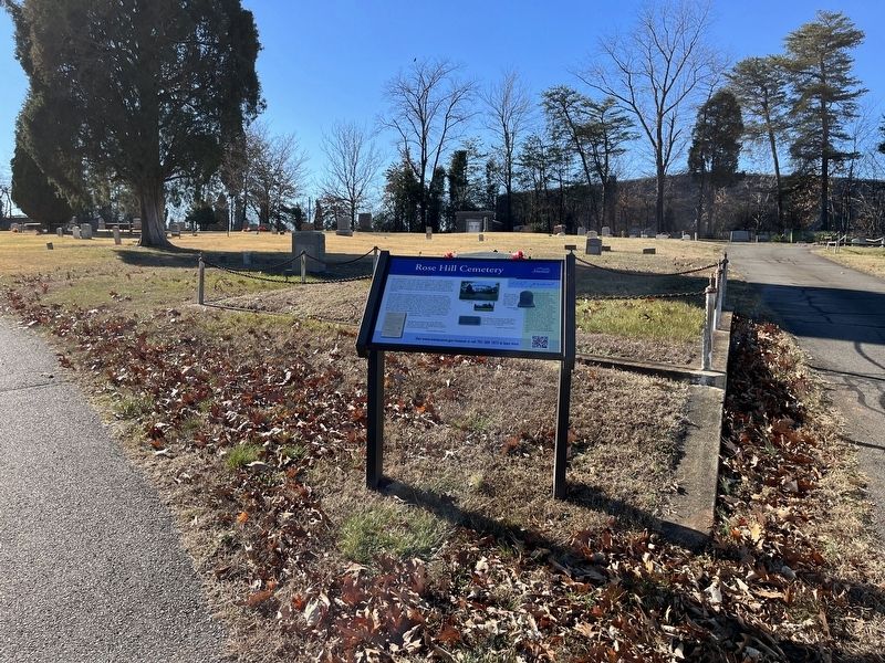
Location. 38° 44.725′ N, 77° 30.301′ W. Marker is in Manassas, Virginia. It is on Foster Drive 0.2 miles west of Dean Drive, on the right when traveling south. Touch for map. Marker is at or near this postal address: 10218B Foster Dr, Manassas VA 20110, United States of America. Touch for directions.

Regionally, this marker is in the Washington Metropolitan Area and in Northern Virginia. It is also in the American South, specifically in the Upper South, and in the Mid-Atlantic. Globally, it is in North America, the Western Hemisphere, the Western World, and the Anglosphere. Historically, it finds itself in what was once the territory of the Mississippian Culture, one of the original Thirteen Colonies, one of the Confederate States of America, and the Antebellum South.
Other nearby markers. At least 8 other markers are within walking distance of this marker: Manassas Industrial School Farm (approx. 0.6 miles away); Chesapeake Bay Watershed (approx. 0.7 miles away); For God and Country (approx. 0.9 miles away); Howland Hall (approx. 0.9 miles away); Campus Model (approx. 0.9 miles away); Jennie Serepta Dean (approx. 0.9 miles away); Manassas Industrial School for Colored Youth (approx. 0.9 miles away); Supporting a Cause (approx. 0.9 miles away). Touch for a list and map of all markers in Manassas.
Other markers no longer nearby. The Manassas Industrial School / Jennie Dean Memorial (was approx. 0.9 miles away but has been replaced with another marker now near it); a different marker also named The Manassas Industrial School / Jennie Dean Memorial (was approx. 0.9 miles away but has been replaced with another marker now near it); a different marker also named The Manassas Industrial School / Jennie Dean Memorial (was approx. 0.9 miles away but has been replaced with another marker now near it).
Credits. This page was last revised on January 17, 2023. It was originally submitted on January 17, 2023, by Devry Becker Jones of Washington, District of Columbia. This page has been viewed 919 times since then and 77 times this year. Photos: 1, 2. submitted on January 17, 2023, by Devry Becker Jones of Washington, District of Columbia.
