Waterford in Loudoun County, Virginia — The American South (Mid-Atlantic)
Waterford
Unionist Stronghold
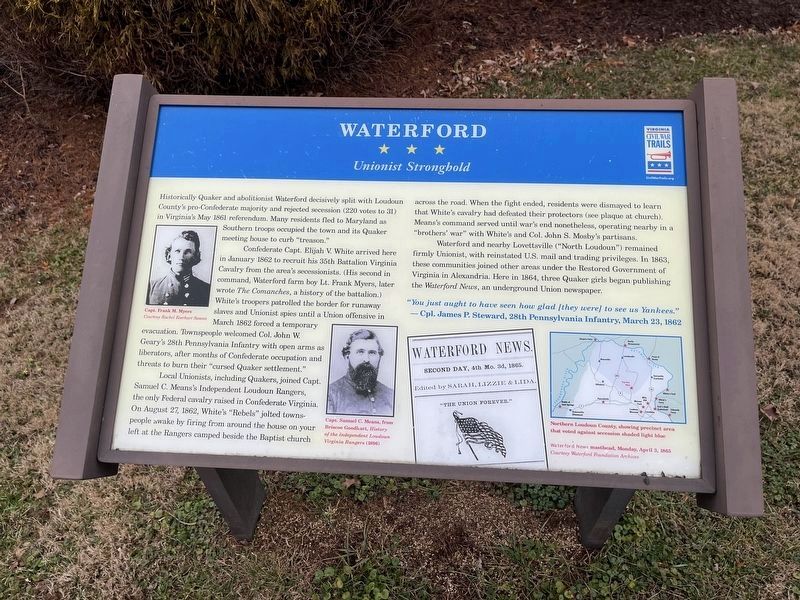
Historically Quaker and abolitionist Waterford decisively split with Loudoun County's pro-Confederate majority and rejected secession (220 votes to 31) in Virginia's May 1861 referendum. Many residents fled to Maryland as Southern troops occupied the town and its Quaker meeting house to curb "treason."
Confederate Capt. Elijah V. White arrived here in January 1861 to recruit his 35th Battalion Virginia Cavalry from the area's secessionists. (His second in command, Waterford farm boy Lt. Frank Myers, later wrote The Comanches, a history of the battalion.) While troopers patrolled the border for runaway slaves and Unionist spies until a Union offensive in March 1862 forced a temporary evacuation. Townspeople welcomed Col. John W. Geary's 28th Pennsylvania Infantry with open arms as liberators, after months of Confederate occupation and threats to burn their "cursed Quaker settlement."
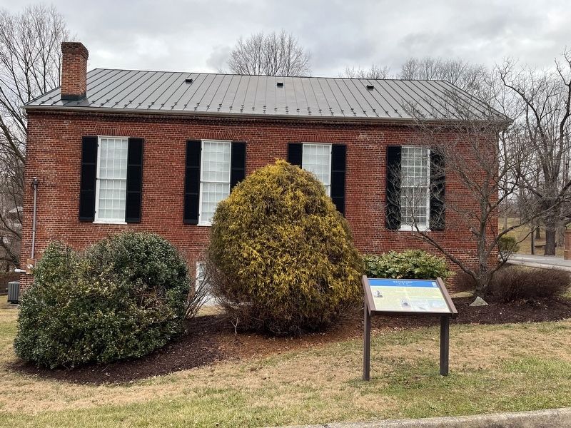
Local Unionists, including Quakers, joined Capt. Samuel C. Means's Independent Loudoun Rangers, the only Federal cavalry raised in Confederate Virginia. On August 27, 1862, White's "Rebels" jolted townspeople awake by firing from around the house on your left at the Rangers camped beside the Baptist church across the road. When the fight ended, residents were dismayed to learn that White's cavalry had defeated their protectors (see plaque at church). Means's command served until war's end nonetheless, operating nearby in a "brothers' war" with White's and Col. John S. Mosby's partisans.
Waterford and nearby Lovettsville ("North Loudoun") remained firmly Unionist, with reinstated U.S. mail and trading privileges. In 1863, these communities joined other areas under the Restored Government of Virginia in Alexandria. Here in 1864, three Quaker girls began publishing Waterford News, an underground Union newspaper.
"You just ought to have seen how glad [they were] to see us Yankees."
— Cpl. James P. Steward, 28th Pennsylvania Infantry, March 23, 1862
Erected by Virginia Civil War Trails.
Topics and series. This historical marker is listed in these topic lists: Abolition & Underground RR • Churches & Religion • Communications • Settlements & Settlers • War, US Civil • Women. In addition, it is included in the Quakerism, and the Virginia Civil War Trails series lists. A significant historical month for this entry is January 1861.
Location. 39° 11.175′ N, 77° 36.639′ W. Marker is in Waterford, Virginia, in Loudoun County. Marker is at the intersection of
Other nearby markers. At least 8 other markers are within walking distance of this marker. Waterford Baptist Church (a few steps from this marker); The Old School (about 400 feet away, measured in a direct line); Mutual Fire Insurance Company of Loudoun County (approx. 0.2 miles away); The Second Street School (approx. 0.2 miles away); Fairfax Meeting of Friends (approx. ¼ mile away); Bond Street Barn, Waterford (approx. 0.3 miles away); Independent Loudoun Virginia Rangers (approx. 0.3 miles away); a different marker also named Waterford (approx. 0.3 miles away). Touch for a list and map of all markers in Waterford.
Related marker. Click here for another marker that is related to this marker. This marker has replaced the linked marker, which had slightly different text.
Credits. This page was last revised on January 21, 2023. It was originally submitted on January 21, 2023, by Devry Becker Jones of Washington, District of Columbia. This page has been viewed 76 times since then and 18 times this year. Photos: 1, 2. submitted on January 21, 2023, by Devry Becker Jones of Washington, District of Columbia.

