Coloma in El Dorado County, California — The American West (Pacific Coastal)
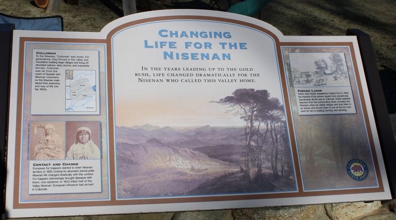
Changing Life for the Nisenan
Cullumah
To the Nisenan, “Cullumah” was home. For generations, they thrived in the valley and mountains, building large villages and living off abundant salmon, deer, acorns, and manzanita berries. Cullumah was far from the reach of Spanish and Mexican colonizers, so the Nisenan maintained their autonomy and way of life into the 1800s.
Contact and Change
European fur trappers started to enter Nisenan territory in 1820, looking for abundant animal pelts. Nisenan life changed drastically with this contact. Fur trappers unknowingly brought diseases with them; one epidemic in 1833 killed half of the Valley Nisenan. European influence had arrived in Cullumah.
Forced Labor
When John Sutter established Sutter’s Fort in 1839, the impacts of his actions rippled from present-day Sacramento all the way to Cullumah. Sutter exploited laborers from the surrounding tribes, including the Nisenan, when he raided villages and took them in as slaves and forced them to live at the fort and work for him in the building, farming, and ranching.
Erected by California Department of Parks & Recreation.
Topics. This historical marker is listed in these topic lists: Exploration • Forts and Castles • Immigration • Native Americans. A significant historical year for this entry is 1820.
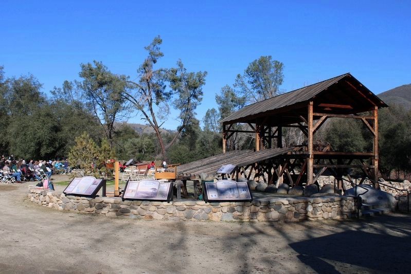
Location. 38° 48.189′ N, 120° 53.574′ W. Marker is in Coloma, California, in El Dorado County. Marker can be reached from Coloma Road (California Route 49) north of Mt Murphy Road. The resin panel is mounted to a masonry wall at the mill replica. Touch for map. Marker is in this post office area: Coloma CA 95613, United States of America. Touch for directions.
Other nearby markers. At least 8 other markers are within walking distance of this marker. Dreams of Success (here, next to this marker); Changing California (here, next to this marker); Trees, River, Access (a few steps from this marker); Cutting Edge (a few steps from this marker); Partners In History (within shouting distance of this marker); The Spirit of the Gold Rush (within shouting distance of this marker); Uncovering History (within shouting distance of this marker); James Wilson Marshall (within shouting distance of this marker). Touch for a list and map of all markers in Coloma.
Credits. This page was last revised on January 23, 2023. It was originally submitted on January 23, 2023, by Joseph Alvarado of Livermore, California. This page has been viewed 132 times since then and 32 times this year. Photos: 1, 2. submitted on January 23, 2023, by Joseph Alvarado of Livermore, California.

