King William in King William County, Virginia — The American South (Mid-Atlantic)
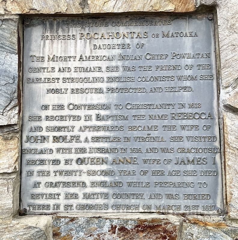
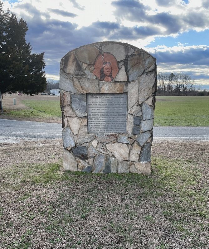
Princess Pocahontas of Matoaka
— Pamunkey Indian Reservation —
Princess Pocahontas of Matoaka
Daughter of
On her conversion to Christianity in 1613 she received in baptism the name Rebecca and shortly afterwards became the wife of John Rolfe, a settler in Virginia. She visited England with her husband in 1616, and was graciously received by Queen Anne, wife of James I. In the twenty-second year of her age she died at Gravesend, England while preparing to revisit her native country, and was buried there in St. George’s Church on March 21st 1617.
Topics. This historical marker is listed in these topic lists: Colonial Era • Native Americans • Settlements & Settlers • Women. A significant historical year for this entry is 1617.
Location. 37° 34.795′ N, 77° 0.189′ W. Marker is in King William, Virginia, in King William County. Marker is at the intersection of Pocahontas Trail and Pocket Road, on the right when traveling south on Pocahontas Trail. Marker located within the Pamunkey Indian Reservation. Touch for map. Marker is at or near this postal address: 1023 Pocahontas Trail, King William VA 23086, United States of America. Touch for directions.
Other nearby markers. At least 8 other markers are within 5 miles of this marker, measured as the crow flies. Pamunkey Indian Reservation Archaeological District (approx. 0.3 miles away); Powhatan (approx. 0.3 miles away); Lanesville Christadelphian Church (approx. 2.7 miles away); Cumberland Town (approx. 3.3 miles away); French Cannon at Cumberland Landing (approx. 3.3 miles away); McClellan’s Camp at Cumberland Landing (approx. 3.3 miles away); Cedar Hill (approx. 4.1 miles away); John Parke Custis / Martha Dandridge (approx. 4½ miles away). Touch for a list and map of all markers in King William.
Also see . . . The True Story of Pocahontas. (Submitted on January 25, 2023, by Brandon D Cross of Flagler Beach, Florida.)
Credits. This page was last revised on January 26, 2023. It was originally submitted on January 25, 2023, by Brandon D Cross of Flagler Beach, Florida. This page has been viewed 143 times since then and 25 times this year. Photos: 1, 2. submitted on January 25, 2023, by Brandon D Cross of Flagler Beach, Florida. • Bernard Fisher was the editor who published this page.

