Mason in Bayfield County, Wisconsin — The American Midwest (Great Lakes)
Moquah Natural Area
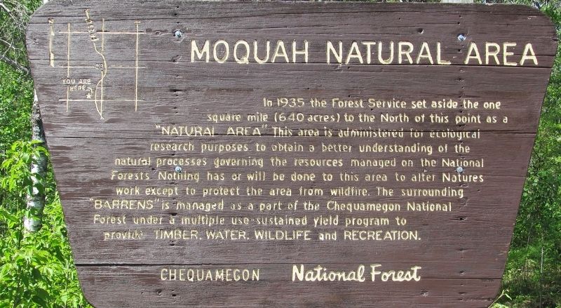
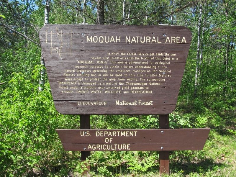
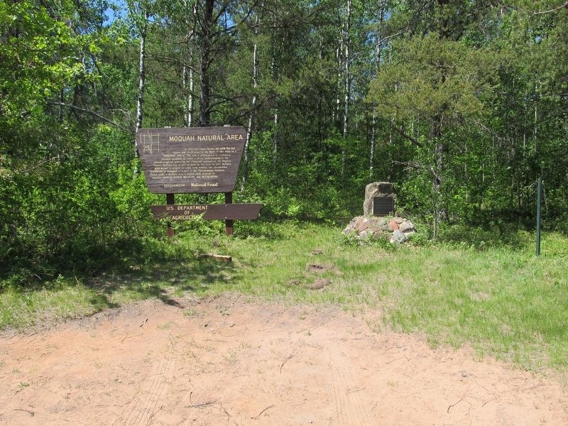
In 1935 the Forest Service set aside the one square mile (640 acres) to the North of this point as a “natural area.” This area is administered for ecological research purposes to obtain a better understanding of the natural processes governing the resources managed on the National Forests. Nothing has or will be done to this area to alter Nature’s work except to protect the area from wildfire. The surrounding “barrens” is managed as a part of the Chequamegon National Forest under a multiple use sustained yield program to provide timber, wildlife and recreation.
Erected by Chequamegon National Forest.
Topics. This historical marker is listed in these topic lists: Environment • Science & Medicine. A significant historical year for this entry is 1935.
Location. 46° 37.011′ N, 91° 12.733′ W. Marker is in Mason, Wisconsin, in Bayfield County. Marker is at the intersection of Ino Road (Forest Road 236) and 407, on the left when traveling north on Ino Road. The marker is seven miles north of U.S. Highway 2, Ino, Wisconsin. Touch for map. Marker is in this post office area: Mason WI 54856, United States of America. Touch for directions.
Other nearby markers. At least 2 other markers are within 14 miles of this marker, measured as the crow flies. School Consolidation (approx. 13.7 miles away); Port Wing Brown Stone (approx. 13.7 miles away).
Regarding Moquah Natural Area. Chequamegon is pronounced SHA-wa-ma-gon.
Photographed By Paul Fehrenbach, June 4, 2021
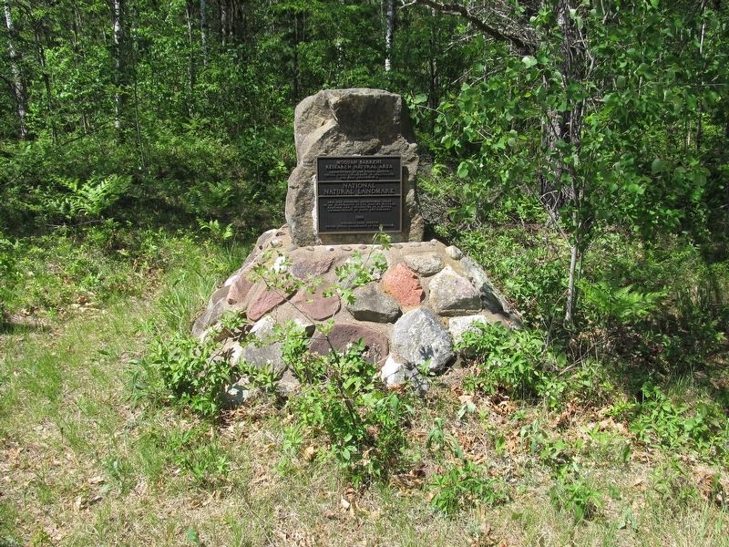
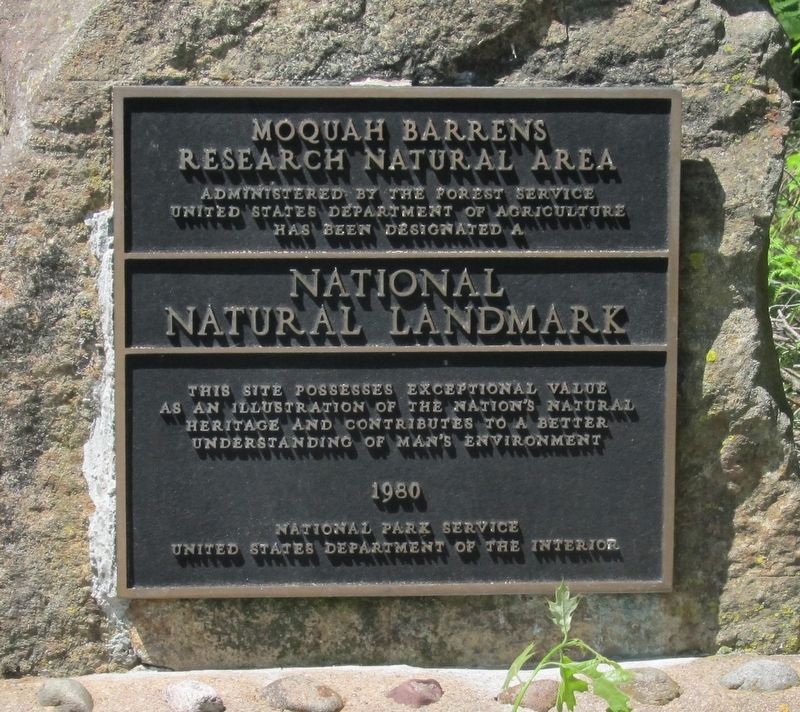
4. Moquah Barrens Research Natural Area
Moquah Barrens Research Natural Area
Administered by the Forest Service
United States Department of Agriculture
National Natural Landmark
This site possesses exceptional value as an illustration of the nation’s natural heritage and contributes to a better understanding of man’s environment
1980
National Park Service
United States Department of the Interior
Credits. This page was last revised on February 7, 2023. It was originally submitted on February 7, 2023, by Paul Fehrenbach of Germantown, Wisconsin. This page has been viewed 106 times since then and 58 times this year. Photos: 1, 2, 3, 4, 5. submitted on February 7, 2023, by Paul Fehrenbach of Germantown, Wisconsin. • J. Makali Bruton was the editor who published this page.
