Landmark in Alexandria, Virginia — The American South (Mid-Atlantic)
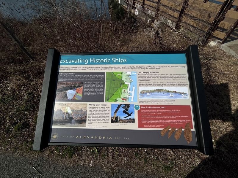
Excavating Historic Ships
City of Alexandria
— Est. 1749 —
Archaeologists excavated four ship hull remnants along the Alexandria waterfront — one from the Hotel Indigo Site (44AX229) and three from the Robinson Landing Site (44AX235). Over 200 years ago, Alexandrians repurposed these old merchant ships to create new land along the Potomac River.
An Underground Fleet
In 2018, archaeologists working at the Robinson Landing Site (44AX235) discovered the remains of three historic ship remnants in the ground. These historic ships provide important information about life in the early Alexandria port. Under the City's Archaeological Protection Code, archaeologists recover and preserve what would have otherwise been lost to development.
Thunderbird Archeology, contracted by developers EYA and Carr City Centers, found the four ship remnants ahead of construction. This partnership between archaeologists and the public helps discover the City's collective past. Archaeologists from Thunderbird Archeology mapped each ship remnant before removal.
Moving Giant Timbers
The remnants of the wooden vessels ranged from 50 feet to 80 feet in length. Once they were uncovered, the wood was kept wet to keep it from cracking. Archaeologists photographed the ships and mapped them in place. Each timber was labeled before being removed. Underground parking garages now take the place of the ships, but the information the ships hold about the past is preserved forever.
The Changing Waterfront
Early Alexandria's shoreline looked much different than it does today. Free and enslaved laborers working for waterfront landowners created land to reach the deep water of the Potomac River, allowing ships to dock. Wooden structures held this new land in place. Some of these wooden structures included derelict merchant ships, like those now stored in Ben Brenman Pond.
Historic map evidence suggests that the two southernmost ships from the Robinson Landing Site became part of this new land between 1798 and 1845. The two northernmost ships, including the one from the Hotel Indigo Site, were buried between 1748 and 1798.
How do ships become land?
Reusing old ships to create new land was common practice in the 18th and early 19th centuries. Cities like Boston, New York, Seattle, and San Francisco all used derelict and abandoned ships in this way.
Alexandria's shallow bays were filled in with soil, cobbles, and trash. This fill was held in place by a series of structural walls that kept them from eroding into the Potomac.
Rock walls were used in cities with easy access to stone, and wood was used when lumber was available. In Alexandria and many other cities, ships that had reached
Erected by City of Alexandria, Virginia.
Topics and series. This historical marker is listed in these topic lists: Anthropology & Archaeology • Waterways & Vessels. In addition, it is included in the Virginia, The City of Alexandria series list. A significant historical year for this entry is 2018.
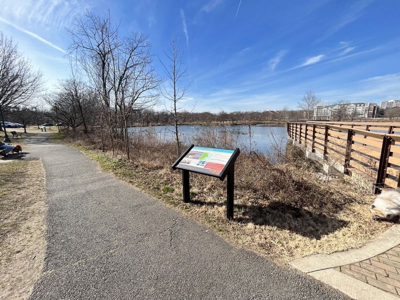
Location. 38° 48.514′ N, 77° 6.801′ W. Marker is in Alexandria, Virginia. It is in Landmark. Marker can be reached from Brenman Park Drive south of Duke Street (Virginia Route 236), on the left when traveling west. Touch for map. Marker is at or near this postal address: 4800 Brenman Park Dr, Alexandria VA 22304, United States of America. Touch for directions.
Other nearby markers. At least 8 other markers are within walking distance of this marker. Reconstructing the Past (within shouting distance of this marker); Ponding and Preservation (about 500 feet away, measured in a direct line); Hensley Park (approx. 0.4 miles away); James Marx All Veterans Park (approx. 0.4 miles away); Bush Hill (approx. half a mile away); This is Cameron Run! (approx. 0.7 miles away); Cloud's Mill Race (approx. 0.7 miles away); Lake Cook (approx. 0.9 miles away). Touch for a list and map of all markers in Alexandria.
Credits. This page was last revised on February 12, 2023. It was originally submitted on February 12, 2023, by Devry Becker Jones of Washington, District of Columbia. This page has been viewed 122 times since then and 26 times this year. Photos: 1, 2. submitted on February 12, 2023, by Devry Becker Jones of Washington, District of Columbia.

