Semora in Caswell County, North Carolina — The American South (South Atlantic)
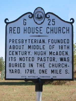
Red House Church
Caswell County Historical Association
1. Red House Church
Erected 1939 by State Historical Commission. (Marker Number G-25.)
Topics and series. This historical marker is listed in these topic lists: Cemeteries & Burial Sites • Colonial Era • Religion & Religious Structures • War, US Revolutionary. In addition, it is included in the North Carolina Division of Archives and History series list. A significant historical year for this entry is 1781.
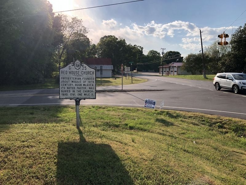
Location. 36° 29.897′ N, 79° 8.918′ W. Marker is in Semora, North Carolina, in Caswell County. It is at the intersection of State Highway 119 and State Highway 57, on the right when traveling north on State Highway 119. Touch for map. Marker is at or near this postal address: 14652 NC-119, Semora NC 27343, United States of America. Touch for directions.

Regionally, this marker is in North Carolina’s Piedmont. It is also in the American South and specifically in the Upper South. Globally, it is in North America, the Western Hemisphere, the Western World, and the Anglosphere.
this page online
Other nearby markers. At least 8 other markers are within 5 miles of this marker, measured as the crow flies: Archibald Debow Murphey (within shouting distance of this marker); Stephen Dodson Ramseur (approx. 2.7 miles away); The Wooding Place (approx. 4.1 miles away); The Oliver House (approx. 4.1 miles away); Commercial Row East (approx. 4.2 miles away); Commercial Row West (approx. 4.2 miles away); Site of Milton Hotel (approx. 4.2 miles away); The Franklin B. Jones Homeplace (approx. 4.2 miles away).
Additional keywords. Caswell County
Caswell County Historical Association
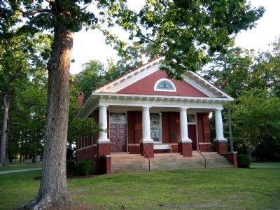
3. Red House Presbyterian Church
Credits. This page was last revised on February 21, 2023. It was originally submitted on May 5, 2009, by Caswell County Historical Association of Yanceyville, North Carolina. This page has been viewed 1,903 times since then and 64 times this year. Last updated on February 17, 2023, by Michael Buckner of Durham, North Carolina. Photos: 1. submitted on May 5, 2009, by Caswell County Historical Association of Yanceyville, North Carolina. 2. submitted on April 25, 2021, by Devry Becker Jones of Washington, District of Columbia. 3. submitted on May 5, 2009, by Caswell County Historical Association of Yanceyville, North Carolina. • Bernard Fisher was the editor who published this page.
