New London in New London County, Connecticut — The American Northeast (New England)
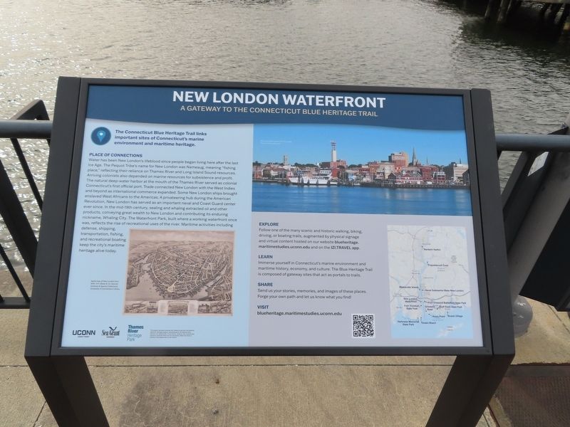
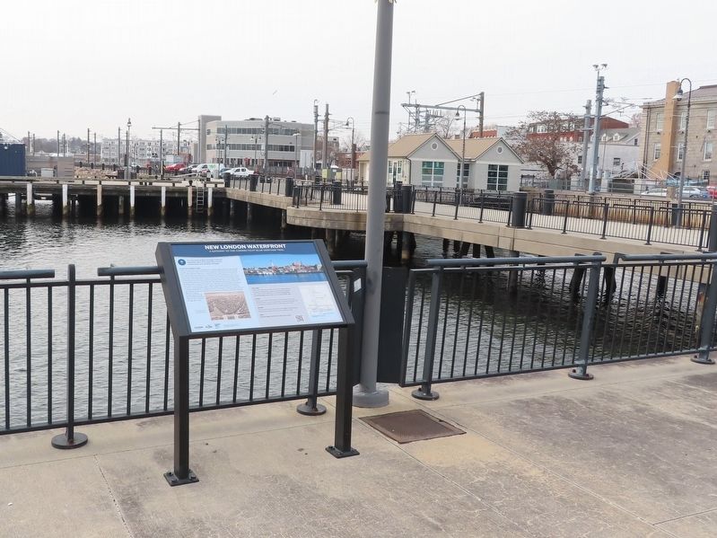
New London Waterfront
A Gateway to the Connecticut Blue Heritage Trail
The Connecticut Blue Heritage Trail links important sites of Connecticut's marine environment and maritime heritage.
Place of Connections
Water has been New London's lifeblood since people began living here after the last Ice Age. The Pequot Tribe's name for New London was Nameaug, meaning "fishing place," reflecting their reliance on Thames River and Long Island Sound resources. Arriving colonists also depended on marine resources for subsistence and profit. The natural deep-water harbor at the mouth of the Thames River served as colonial Connecticut's first official port. Trade connected New London with the West Indies and beyond as international commerce expanded. Some New London ships brought enslaved West Africans to the Americas. A privateering hub during the American Revolution, New London has served as an important naval and Coast Guard center ever since. In the mid-19th century, sealing and whaling extracted oil and other products, conveying great wealth to New London and contributing its enduring nickname, Whaling City. The Waterfront Park, built where a working waterfront once was, reflects the rise of recreational uses of the river. Maritime activities including defense, shipping, transportation, fishing, and recreational boating keep the city's maritime heritage alive today.
Explore Follow one of the many scenic and historic walking, biking, driving, or boating trails, augmented by physical signage and virtual content hosted on our website blueheritage.maritimestudies.uconn.edu and on the IZI.TRAVEL app.
Learn Immerse yourself in Connecticut's marine environment and maritime history, economy, and culture. The Blue Heritage Trails composed of gateway sites that act as portals to trails.
Share Send us your stories, memories, and images of these places. Forge your own path and let us know what you find!
Visit blueheritage.maritimestudies.uconn.edu
( photo captions )
— Aerial map of New London from 1876. O.H. Bailey & Co. Source: Archives & Special Collections, University of Connecticut Library.
— Downtown New London from the water.
Topics. This historical marker is listed in these topic lists: Industry & Commerce • Native Americans • Parks & Recreational Areas • Waterways & Vessels. A significant historical year for this entry is 1876.
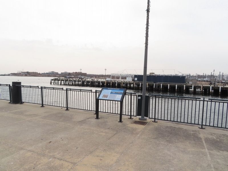
Location. 41° 21.12′ N, 72° 5.644′ W. Marker is in New London, Connecticut, in New London County. Marker can be reached from S Water Street east of Bank Street Connector, on the right when traveling east. Located on the Amistad Pier. Touch for map. Marker is in this post office area: New London CT 06320, United States of America. Touch for directions.
Other nearby markers. At least 8 other markers are within walking distance of this marker. The Amistad (a few steps from this marker); Middle Passage to New London (a few steps from this marker); Whaling Days (within shouting distance of this marker); New London and the Sea (within shouting distance of this marker); Humpback Whale (within shouting distance of this marker); Northern Quahog / Winter Flounder (within shouting distance of this marker); Eastern Oyster / Summer Flounder (within shouting distance of this marker); Changing Shoreline (within shouting distance of this marker). Touch for a list and map of all markers in New London.
Also see . . . Blue Heritage Trail Project (University of Connecticut). (Submitted on February 19, 2023, by Michael Herrick of Southbury, Connecticut.)
Credits. This page was last revised on May 6, 2023. It was originally submitted on February 19, 2023, by Michael Herrick of Southbury, Connecticut. This page has been viewed 88 times since then and 23 times this year. Photos: 1, 2, 3. submitted on February 19, 2023, by Michael Herrick of Southbury, Connecticut.


