Shockoe Slip in Richmond, Virginia — The American South (Mid-Atlantic)
Capital Trees
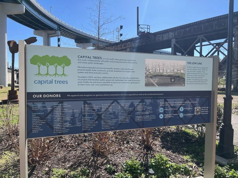
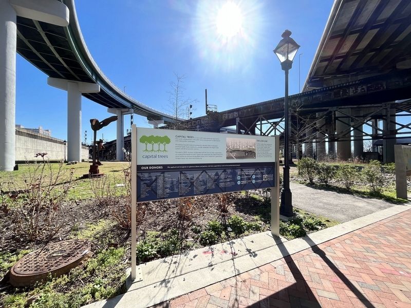
Capital Trees is a non-profit urban greening organization that works collaboratively with public and private partners to advocate for and create public landscapes.
We believe beautiful and environmentally sensitive urban landscape promote health, foster community, provide remediation for fragile water systems and rive economic activity.
Founded in 2010, we have collaborated with the City and other stakeholders on projects that transform public spaces into landscapes that make Richmond a more livable city and ensure equitable access to our community's greenpsace To learn more, visit: www.capitaltrees.com
The Low Line
In 2016, Capital Trees completed the Low Line Gardens, and in 2020, the Low Line Green. Together these public landscapes form the Low Line, five acres of native and resilient plants, stormwater treatment gardens and gathering spaces along Virginia Capital Trail adjacent to the James River and Kanawha Canal.
Erected by Capital Trees.
Topics. This historical marker is listed in these topic lists: Environment • Horticulture & Forestry • Parks & Recreational Areas. A significant historical year for this entry is 2010.
Location. 37° 31.918′ N, 77° 25.781′ W. Marker is in Richmond , Virginia. It is in Shockoe Slip. Marker is on Canal Walk east of South 14th Street (U.S. 360), on the left when traveling east. Touch for map. Marker is at or near this postal address: 1733 Canal Walk, Richmond VA 23219, United States of America. Touch for directions.
Other nearby markers. At least 8 other markers are within walking distance of this marker. Virginia Capital Trail (a few steps from this marker); Lincoln's Visit to Richmond (a few steps from this marker); Richmond Local Flood Protection (within shouting distance of this marker); Canal Walk / Historic Canals (within shouting distance of this marker); Chesapeake & Ohio Railway (about 300 feet away, measured in a direct line); African Americans and the Waterfront (about 500 feet away); In a wooden crate similar to this one… (about 500 feet away); Triple Crossing (about 500 feet away). Touch for a list and map of all markers in Richmond.
Credits. This page was last revised on February 19, 2023. It was originally submitted on February 19, 2023, by Devry Becker Jones of Washington, District of Columbia. This page has been viewed 66 times since then and 11 times this year. Photos: 1, 2. submitted on February 19, 2023, by Devry Becker Jones of Washington, District of Columbia.

