East Donegal Township in Marietta in Lancaster County, Pennsylvania — The American Northeast (Mid-Atlantic)
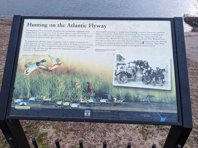
Hunting on the Atlantic Flyway
The Susquehanna's abundant supply of waterfowl made it a popular hunting area for Native Americans and early European settlers who relied on the flyway as a source of food. In the 1800's and early 1900's, waterfowl populations plummeted due to the use of punt guns, duck traps, and other mass-kill weapons by unregulated commercial hunters, referred to as "market gunners."
Today waterfowl hunting is a popular form of outdoor recreation. Present-day waterfowl hunters recognize that wildlife habitat protection and laws that prevent overhunting are necessary to preserve the Susquehanna River's natural heritage. Organizations like the Susquehanna River Waterfowlers Association and the Susquehanna River Wetlands Trust have taken an active role in improving waterfowl habitat by creating nesting sites, restoring wetlands, and conducting education programs that build public awareness. These efforts are helping to restore waterfowl populations throughout the Atlantic Flyway.
Topics. This historical marker is listed in these topic lists: Animals • Environment • Native Americans • Waterways & Vessels.
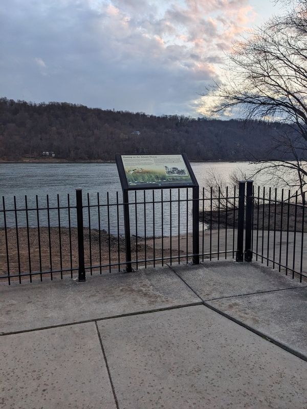
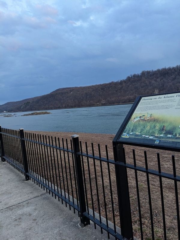
Location. 40° 3.525′ N, 76° 36.684′ W. Marker is in Marietta, Pennsylvania, in Lancaster County. It is in East Donegal Township. Marker can be reached from Vinegar Ferry Road, half a mile west of Old River Road. Marker is located between the parking lot for Riverfront Park and the Susquehanna River. Touch for map. Marker is at or near this postal address: 551 Vinegar Ferry Rd, Marietta PA 17547, United States of America. Touch for directions.
Other nearby markers. At least 8 other markers are within 3 miles of this marker, measured as the crow flies. Vinegar's Ferry (approx. ¼ mile away); Simon Cameron (approx. 1.9 miles away); In honor of those who served in the World War (approx. 1.9 miles away); In honor of those who served our country in Korea & Vietnam (approx. 1.9 miles away); Honor Roll (approx. 1.9 miles away); Maytown (approx. 2 miles away); Decatur Street (approx. 2.3 miles away); Codorus Furnace (approx. 2.4 miles away). Touch for a list and map of all markers in Marietta.
Credits. This page was last revised on February 22, 2023. It was originally submitted on February 20, 2023, by William Pope of Marietta, Pennsylvania. This page has been viewed 67 times since then and 13 times this year. Photos: 1, 2, 3. submitted on February 20, 2023, by William Pope of Marietta, Pennsylvania. • Bill Pfingsten was the editor who published this page.


