Oscoda in Iosco County, Michigan — The American Midwest (Great Lakes)
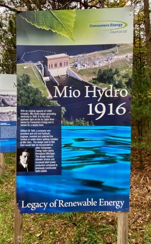
Mio Hydro
1916
— Legacy of Renewable Energy —
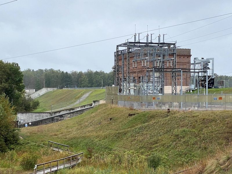
William W. Telft, a company vice president and civil and hydraulic engineer, invented and patented the conduit or under-sluice spillway installed at Mio Dam. The design used at Mio Dam would later be incorporated at other Consumers Energy hydro plants throughout Michigan The design reduced tailwater erosion and increased plant power production compared to previously constructed hydro plants.
Erected by Consumers Energy.
Topics. This historical marker is listed in these topic lists: Parks & Recreational Areas • Waterways & Vessels. A significant historical year for this entry is 1916.
Location. 44° 26.155′ N, 83° 37.362′ W. Marker is in Oscoda, Michigan, in Iosco County. Marker can be reached from Monument Road, 0.2 miles north of West River Road. Marker is at the trailhead of the Highbanks Trail near the Lumberman's Monument Visitor Center. Touch for map. Marker is at or near this postal address: 5401 Monument Road, Oscoda MI 48750, United States of America. Touch for directions.
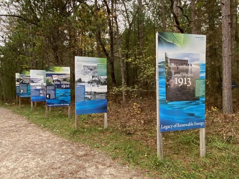
Other nearby markers. At least 8 other markers are within walking distance of this marker. Five Channels & Loud Hydros (here, next to this marker); Loud Hydro (here, next to this marker); a different marker also named Mio Hydro (here, next to this marker); Foote Hydro (here, next to this marker); Five Channels Hydro (a few steps from this marker); a different marker also named Foote Hydro (a few steps from this marker); Cooke Hydro (a few steps from this marker); a different marker also named Cooke Hydro (a few steps from this marker). Touch for a list and map of all markers in Oscoda.
Credits. This page was last revised on February 26, 2023. It was originally submitted on February 22, 2023, by J.T. Lambrou of New Boston, Michigan. This page has been viewed 52 times since then and 5 times this year. Photos: 1, 2, 3, 4. submitted on February 22, 2023, by J.T. Lambrou of New Boston, Michigan. • J. Makali Bruton was the editor who published this page.


