Near Chickamauga in Walker County, Georgia — The American South (South Atlantic)
Negley's Division
Thomas' Corps.
| — | Major General James S. Negley. | — |

1. Negley's Division Marker
Major General James S. Negley.
September 19th, 1863, Morning.
1st Brigade, - Brigadier General John Beatty.
2nd Brigade, - Colonel Timothy R. Stanley.
3rd Brigade, - Colonel William Sirwell.
This Division marched from Owen's Ford at 4 p.m. September 18th to relieve Palmer's Division in front of Crawfish Springs. It moved from the latter point towards Glass Mill about 8 p.m. About 2 a.m. of the 19th Beatty's Brigade relieved Grose's Brigade of Palmer's Division, near Glass Mill. Beatty's line was sharply attacked soon after daylight by skirmishers of the 2d Kentucky from Helm's Confederate Brigade then on the east side of the Chickamauga, at Glass Mill.
Text on the second of two tablets:
Helm's Brigade, with Slocum's Battery, four guns, and Cobb's Battery, two guns, crossed in the morning to the west side of the river and opened an artillery fire on Beatty's line. Bridge's Battery (Illinois Light) replied. Beatty was soon reinforced by the 18th Ohio Infantry and three pieces of Schultz's Battery (N, 1st Ohio) from Stanley's Brigade. A sharp artillery fight, lasting nearly three hours, ensued, when the Confederates withdrew to the east side of the river. During these operations, Stanley's and Sirwell's Brigades held the line of the Chickamauga between Beatty's Brigade and Crawfish Springs Creek. At 3:30 p.m. the entire Division was withdrawn to Crawfish Springs and at once dispatched toward the center.
Erected 1890 by the Chickamauga and Chattanooga National Military Park Commission. (Marker Number MT-508-08A.)
Topics. This historical marker is listed in this topic list: War, US Civil. A significant historical date for this entry is September 19, 1863.
Location. Marker is missing. It was located near 34° 51.248′ N, 85° 17.143′ W. Marker
this page online

Regionally, this marker was in the Mountains. It was also in the American South, specifically in the Deep South, in Appalachia, and specifically in Southern Appalachia. Globally, it was in North America, the Western Hemisphere, the Western World, and the Anglosphere. Historically, it found itself in what was once the original Cherokee Nation, the territory of the Mississippian Culture, one of the original Thirteen Colonies, one of the Confederate States of America, and the Antebellum South.
Other nearby markers. At least 8 other markers are within 2 miles of this location, measured as the crow flies: Glass's Mill Battle Site (approx. 0.6 miles away); a different marker also named Glass's Mill Battle Site (approx. 0.7 miles away); Chickamauga Prince Hall Lodge No. 221 (approx. 1.1 miles away); Cavalry Corps.
Photographed by Dale K. Benington, July 10, 2017
2. Negley's Division Marker
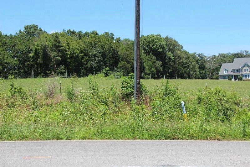
View of the approximate location of the missing tablets, along the northern side of the Glass Mill Road.
Other markers no longer nearby. J. Beatty's Brigade (was within shouting distance of this marker but has been confirmed missing); Helm's Brigade (was approx. 0.6 miles away but has been confirmed missing).
More about this marker. According to James Ogden, the historian for the Chickamauga and Chattanooga National Military Park, this particular tablet, "used to stand SE of the town of Chickamauga ... along Glass Mill Road about opposite of where Lofton Lane comes into Glass Mill Road."
Photographed by Dale K. Benington, July 10, 2017
3. Negley's Division Marker
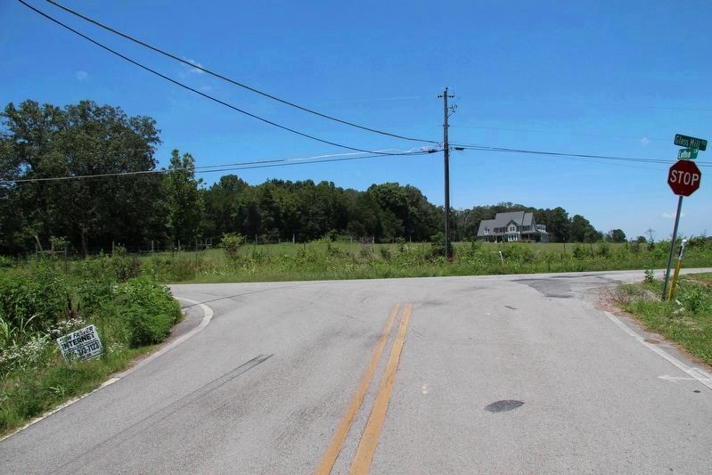
View of the intersection of Lofton Lane with the Glass Mill Road, which is the site of the missing Negley's Division tablets.
Photographed by Dale K. Benington, July 10, 2017
4. Negley's Division Marker
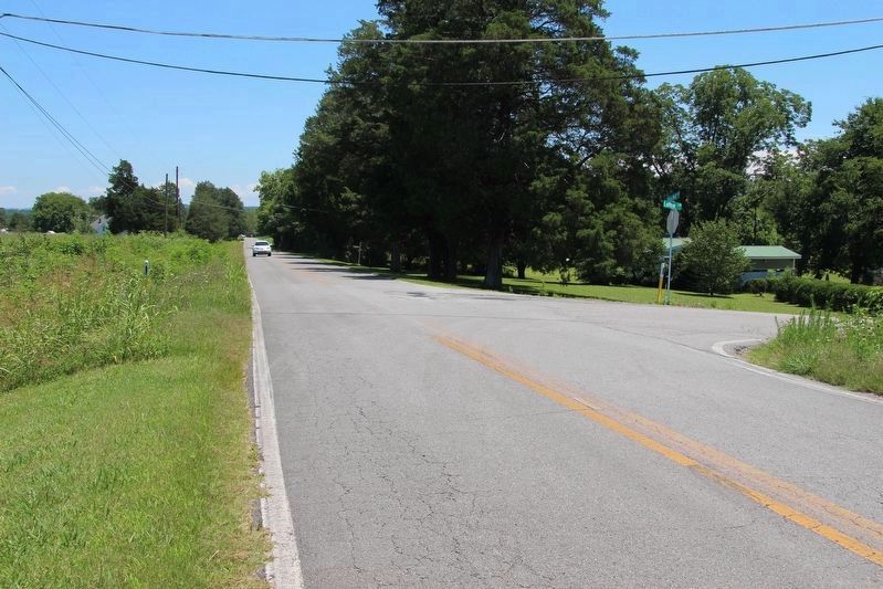
View of both the missing tablet site (on left side of roadway) and the street intersection, looking east (in the direction of the Confederate forces at the bridge over West Chickamauga Creek) along the Glass Mill Road.
Photographed by Dale K. Benington, July 10, 2017
5. Negley's Division Marker
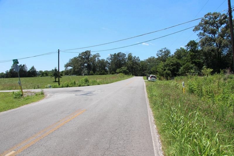
View of both the missing tablet site (on right side of roadway) and the street intersection, looking west (in the direction of the village of Chickamauga) along the Glass Mill Road.
Credits. This page was last revised on February 22, 2023. It was originally submitted on April 28, 2017, by Dale K. Benington of Toledo, Ohio. This page has been viewed 700 times since then and 33 times this year. Last updated on February 22, 2023, by Diane Klinefelter of McMurray, Pennsylvania. Photos: 1. submitted on April 28, 2017. 2, 3, 4, 5. submitted on July 16, 2017, by Dale K. Benington of Toledo, Ohio. • Bernard Fisher was the editor who published this page.
