Norwell in Plymouth County, Massachusetts — The American Northeast (New England)
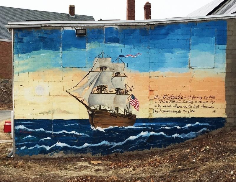
The “Columbia”
Topics. This historical marker is listed in these topic lists: Colonial Era • Exploration • Waterways & Vessels. A significant historical year for this entry is 1773.
Location. 42° 9.689′ N, 70° 47.572′ W. Marker is in Norwell, Massachusetts, in Plymouth County. Marker can be reached from the intersection of Main Street (Massachusetts Route 123) and River Street. Touch for map. Marker is in this post office area: Norwell MA 02061, United States of America. Touch for directions.
Other nearby markers. At least 8 other markers are within 4 miles of this marker, measured as the crow flies. Nathan Cushing (approx. 0.7 miles away); The Old Oaken Bucket (approx. 2.2 miles away); Old Stockbridge Grist Mill (approx. 2˝ miles away); Site of Stockbridge Mansion (approx. 2˝ miles away); Cudworth House (approx. 3.3 miles away); Lawson Tower (approx. 3.3 miles away); Mann Historical Museum (approx. 3˝ miles away); First Training Field (approx. 3.6 miles away).
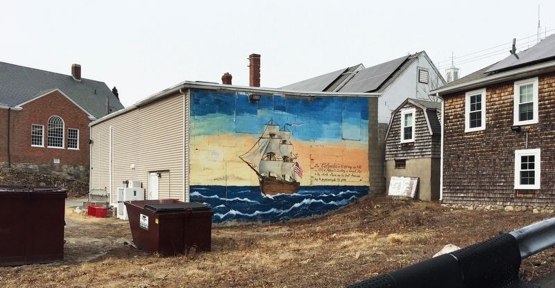
More about this marker. Marker is in the form of a mural painted on a back wall of a building in Norwell’s town center. The mural is not visible from the road.
Regarding The “Columbia”. Although the actual place of the ship’s construction is somewhat in doubt, no one disputes that she circumnavigated the world in 1787-1790 under the command of Capt. Robert Gray. On that voyage, in 1788, Gray first visited the mouth of what he later named the Columbia River, on today’s Oregon coast.
Also see . . . Columbia Rediviva. (Submitted on February 25, 2023, by Roger W. Sinnott of Chelmsford, Massachusetts.)
Credits. This page was last revised on February 28, 2023. It was originally submitted on February 25, 2023, by Roger W. Sinnott of Chelmsford, Massachusetts. This page has been viewed 85 times since then and 14 times this year. Photos: 1, 2, 3. submitted on February 25, 2023, by Roger W. Sinnott of Chelmsford, Massachusetts. • Bill Pfingsten was the editor who published this page.


