
Mare Island in Vallejo in Solano County, California — The American West (Pacific Coastal)
Charlene Haught Johnson
North Bay Operations and Maintenance Facility
| — | Mare Island, California | — |
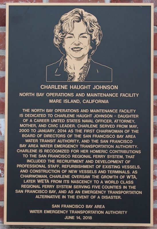
Photographed by Joseph Alvarado, February 25, 2023
1. Charlene Haught Johnson Marker
Erected by San Francisco Bay Area Water Emergency Transportation Authority.
Topics. This historical marker is listed in these topic lists: Waterways & Vessels • Women. A significant historical year for this entry is 2000.
Location. 38° 6.069′ N, 122° 16.19′ W. Marker is in Vallejo, California, in Solano County. It is on Mare Island. It can be reached from Nimitz Avenue north of 7th Street when traveling east. The plaque is mounted to the left of the door on the east side of the building. Touch for map. Marker is at or near this postal address: 1050 Nimitz Avenue, Vallejo CA 94592, United States of America. Touch for directions.

Regionally, this marker is in California’s San Francisco Bay Area, in the Sacramento Valley, and specifically in the Central Valley. It is also on the American Pacific Coast. Globally, it is in North America, on the Ring of Fire, in the Pacific Rim, in the Western Hemisphere, in the
this page online
Other nearby markers. At least 8 other markers are within walking distance of this marker: Anchor for the USS TREPANG (SS412) (about 400 feet away, measured in a direct line); USS Hartford 10 Inch Dahlgren Smooth Bore Cannon (approx. 0.2 miles away); 24 Pounder from the USS Independence (approx. 0.2 miles away); Farragut Plaza (approx. 0.2 miles away); Fourth Marine Division Memorial (approx. ¼ mile away); Breech Loading Cannon (approx. ¼ mile away); Mare Island Navy Yard Work Bell (approx. ¼ mile away); H.B.M. Centurian Anchor (approx. ¼ mile away). Touch for a list and map of all markers in Vallejo.
Also see . . . WETA Timeline.
"In the early 1930s, a fleet of 50 ferries shuttled 50-60 million passengers across the Bay each year. With the construction of the Bay Bridge that same decade, ferry service saw a steep decline in interest and ridership, with just four public ferry boats serving the entire Bay Area in the late 1980s. That all changed in 1989 when the Loma Prieta earthquake struck, damaging the Bay Bridge and resulting in its closure for more than a month. During that time, traveling by ferry was the only way to cross the Bay."
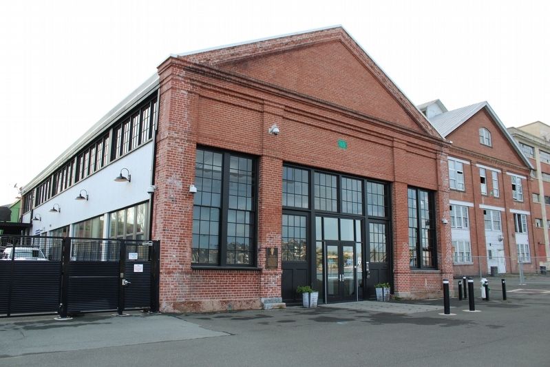
Photographed by Joseph Alvarado, February 25, 2023
2. Charlene Haught Johnson Marker
Credits. This page was last revised on March 9, 2023. It was originally submitted on March 9, 2023, by Joseph Alvarado of Livermore, California. This page has been viewed 255 times since then and 35 times this year. Photos: 1, 2. submitted on March 9, 2023, by Joseph Alvarado of Livermore, California.
