Lexington in Davidson County, North Carolina — The American South (South Atlantic)
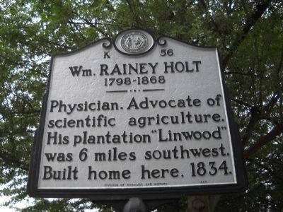
Wm. Rainey Holt
1798-1868
Photographed by Bill Coughlin, August 2, 2010
1. Wm. Rainey Holt Marker
Erected 1995 by Division of Archives and History. (Marker Number K-56.)
Topics. This historical marker is listed in these topic lists: Agriculture • Science & Medicine • Settlements & Settlers. A significant historical year for this entry is 1834.
Location. 35° 49.251′ N, 80° 15.428′ W. Marker is in Lexington, North Carolina, in Davidson County. It is on S Main Street, on the right when traveling south. Marker is located between W 4th and W 5th Avenues. Touch for map. Marker is at or near this postal address: 402 S Main St, Lexington NC 27292, United States of America. Touch for directions.

Regionally, this marker is in North Carolina’s Piedmont and specifically in Piedmont Triad. It is also in the American South and specifically in the Upper South. Globally, it is in North America, the Western Hemisphere, the Western World, and the Anglosphere. Historically, it finds itself in what was once the territory of the Mississippian Culture, one of the original Thirteen Colonies,
this page online
Other nearby markers. At least 8 other markers are within walking distance of this marker: The Homestead (a few steps from this marker); Old Davidson County Courthouse (approx. 0.3 miles away); Davidson County (approx. 0.3 miles away); Lexington in the Civil War (approx. 0.3 miles away); Robert F. Sink (approx. 0.3 miles away); City of Lexington (approx. 0.3 miles away); Captain Benjamin Merrill (approx. 0.3 miles away); Davidson County Vietnam War Memorial (approx. 0.3 miles away). Touch for a list and map of all markers in Lexington.
Photographed by Bill Coughlin, August 2, 2010
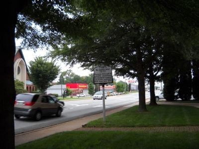
2. Marker in Lexington
Photographed by Bill Coughlin, August 2, 2010
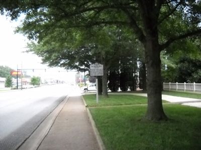
3. Marker on S Main Street
Photographed by Bill Coughlin, August 2, 2010
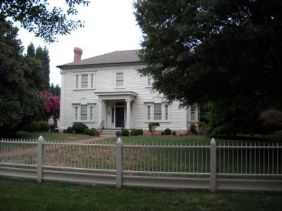
4. The Homestead
Dr. William R. Holt built this Greek Revival house, within sight of the marker, in 1834 as a wedding gift to his second wife, Louisa Hogan Holt. It was used by Union Gen. H. Judson Kilpatrick as his headquarters.
Credits. This page was last revised on March 15, 2023. It was originally submitted on August 8, 2010, by Bill Coughlin of Woodland Park, New Jersey. This page has been viewed 947 times since then and 23 times this year. Last updated on March 14, 2023, by Michael Buckner of Durham, North Carolina. Photos: 1, 2, 3, 4. submitted on August 8, 2010, by Bill Coughlin of Woodland Park, New Jersey. • Bill Pfingsten was the editor who published this page.
