Midtown - Downtown in Columbia in Richland County, South Carolina — The American South (South Atlantic)
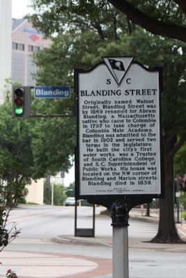
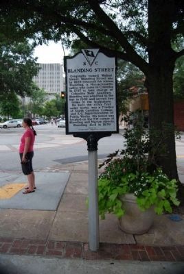
Blanding Street
Erected 1978 by Richland County Bicentennial Commission. (Marker Number 40-66.)
Topics. This historical marker is listed in these topic lists: Man-Made Features • Roads & Vehicles • Settlements & Settlers. A significant historical year for this entry is 1869.
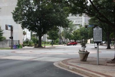
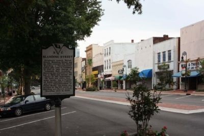
Location. 34° 0.467′ N, 81° 2.167′ W. Marker is in Columbia, South Carolina, in Richland County. It is in Midtown - Downtown. Marker is at the intersection of Main Street and Blanding Street, on the right when traveling north on Main Street. Touch for map. Marker is in this post office area: Columbia SC 29201, United States of America. Touch for directions.
Other nearby markers. At least 8 other markers are within walking distance of this marker. Cabaniss Building (within shouting distance of this marker); Seegers-Habenicht Building (within shouting distance of this marker); Sidney Park C.M.E. Church (about 300 feet away, measured in a direct line); Lever Building (about 300 feet away); Efird's Department Store / Mast General Store (about 400 feet away); Taylor Street (about 500 feet away); The Walls Came Tumbling Down (about 500 feet away); Laurel Street (about 500 feet away). Touch for a list and map of all markers in Columbia.
Credits. This page was last revised on February 16, 2023. It was originally submitted on August 21, 2009, by Mike Stroud of Bluffton, South Carolina. This page has been viewed 885 times since then and 40 times this year. Photos: 1. submitted on August 21, 2009, by Mike Stroud of Bluffton, South Carolina. 2. submitted on September 13, 2011, by Brian Scott of Anderson, South Carolina. 3, 4. submitted on August 21, 2009, by Mike Stroud of Bluffton, South Carolina. • Craig Swain was the editor who published this page.


