North Springfield in Fairfax County, Virginia — The American South (Mid-Atlantic)
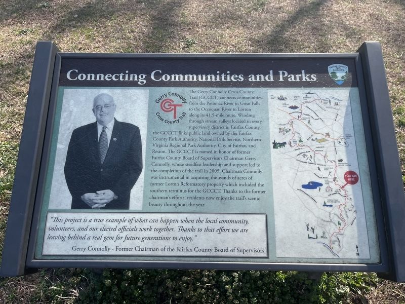
Connecting Communities and Parks
Gerry Connolly Cross County Trail
The Gerry Connolly Cross County Trail (GCCCT) connects communities from the Potomac River in Great Falls to the Occoquan River in Lorton along its 41.5-mile route. Winding through stream valleys located in every supervisory district in Fairfax County, the GCCCT links public land owned by the Fairfax County Park Authority, National Park Service, Northern Virginia Regional Park Authority, City of Fairfax, and Reston. The GCCCT is named in honor of former Fairfax County Board of Supervisors Chairman Gerry Connolly, whose steadfast leadership and support led to the completion of the trail in 2005. Chairman Connolly was instrumental in acquiring thousands of acres of former Lorton Reformatory property which included the southern terminus for the GCCCT. Thanks to the former chairman's efforts, residents now enjoy the trail's scenic beauty throughout the year.
"This project is a true example of what can happen when the local community, volunteers, and our elected officials work together. Thanks to that effort we are leaving behind a real gem for future generations to enjoy."
Gerry Connolly - Former Chairman of the Fairfax County Board of Supervisors
Erected by Fairfax County Park Authority.
Topics. This historical marker is listed in these topic lists: Charity & Public Work • Parks & Recreational Areas • Roads & Vehicles • Waterways & Vessels. A significant historical year for this entry is 2005.
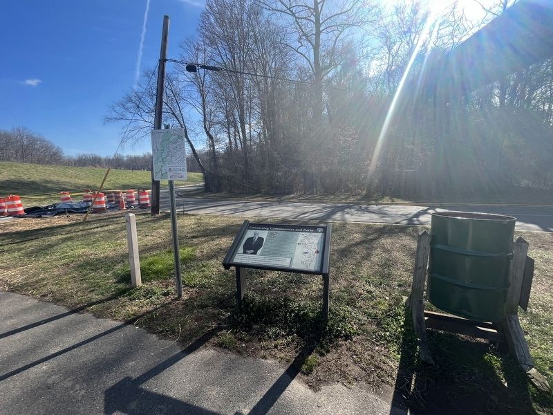
Location. 38° 47.582′ N, 77° 13.07′ W. Marker is in North Springfield, Virginia, in Fairfax County. Marker is on Accotink Park Road, 1.2 miles west of Highland Street, on the left when traveling north. Touch for map. Marker is in this post office area: Springfield VA 22151, United States of America. Touch for directions.
Other nearby markers. At least 8 other markers are within 3 miles of this marker, measured as the crow flies. Orange and Alexandria Railroad (within shouting distance of this marker); The Civilian Conservation Corps (approx. 0.4 miles away); a different marker also named Orange and Alexandria Railroad (approx. 0.6 miles away); Ravensworth (approx. 1.1 miles away); a different marker also named Ravensworth (approx. 1.2 miles away); Springfield Station (approx. 1.8 miles away); Keene’s Mill (approx. 2.1 miles away); Price’s Ordinary (approx. 2.2 miles away). Touch for a list and map of all markers in North Springfield.
Credits. This page was last revised on March 18, 2023. It was originally submitted on March 18, 2023, by Devry Becker Jones of Washington, District of Columbia. This page has been viewed 64 times since then and 13 times this year. Photos: 1, 2. submitted on March 18, 2023, by Devry Becker Jones of Washington, District of Columbia.

