
Tzintzuntzan, Michoacán, Mexico — The Pacific Coast (and Central Highlands)
Architecture of Farmers and Petroglyphs of Hunters
Photographed by J. Makali Bruton, December 2, 2022
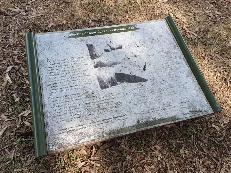
1. Architecture of Farmers and Petroglyphs of Hunters Marker

Al observar los muros que conforman la Gran Plataforma es posible apreciar su constitución arquitectonica formada de piedra laja acomodada en capas y cubierta con tierra, generando así superficies compactas de gran resistencia. Además gracias a su ligera inclinación evita encharcamientos, generando salidas y desagues que mantienen la forma presentando gran resistencia, belleza, estética y una triple función, espacio ritual, administrativo y observatorio.
Bajo la Gran Plataforma exisiten enormes rocas con petroglifos o dibujos talllados. Se han acondicionado 2 conjuntos de estas para ser visitados por el public pero puede encontrarse más dispersas en toda la zona arqueologica. Estos trazos tienen un significado religioso que tambien fungían como señalamientos para para r econocer los espaciosy sus propiedades mágicas. Son un recordatorio continuo de la importancia cosmica y espiritual de la zona arqueologica, mucho antes de la llegada de los cazadores Uacusecha.
Tzintzuntzan es una zona arqueologica que combina la evidencia de varias épocas y diferentes grupos: edificios y petrograbados.
Not transcribed
Architecture of farmers and petroglyphs of hunters
By observing the walls that make up the Great Platform it is possible to appreciate its architectural constitution formed of slab stone accommodated in layers and covered with earth, thus generating compact surfaces of great resistance. In addition, thanks to its slight inclination, it avoids pooling of water and generated canals and drains that maintain the shape while presenting great resistance, beauty, aesthetics and a triple function: ritual, administrative space and observatory.
Under the Great Platform there are huge rocks with petroglyphs or carved drawings. Two sets of these have been conditioned to be visited by the public but others can be found dispersed throughout the archaeological area. These inscriptions have religious meaning that also serve as signs to recognize the spaces and their magical properties. They are a continuous reminder of the cosmic and spiritual importance of the archaeological zone, long before the arrival of the Uacusecha hunters.
Tzintzuntzan is an archaeological zone that combines evidence from several eras and different groups: buildings and petroglyphs.
Topics.
this page online
Location. 19° 37.489′ N, 101° 34.308′ W. Marker is in Tzintzuntzan, Michoacán. It can be reached from Avenida Las Yácatas, on the left when traveling east. The marker is on the grounds of the Tzintzuntzan Archeological Site. Touch for map. Marker is in this post office area: Tzintzuntzan MIC 58440, Mexico. Touch for directions.

Regionally, this marker is in Western Mexico, in the Bajío, and on the Pacific Coast. Globally, it is in North America, specifically in Mesoamerica, on the Ring of Fire, in the Pacific Rim, and in the Western Hemisphere. Historically, it finds itself in what was once New Spain, a Spanish colony, and the Aztec Empire.
Other nearby markers. At least 8 other markers are within walking distance of this marker: Tzintzuntzan: Politics and Government (within shouting distance of this marker); Tzintzuntzan: Space and Distribution (within shouting distance of this marker); Petroglyphs: Messages in the Rock (within shouting
Photographed by J. Makali Bruton, December 2, 2022
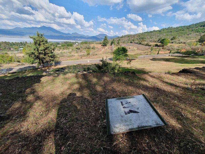
2. Architecture of Farmers and Petroglyphs of Hunters Marker
Photographed by J. Makali Bruton, December 2, 2022
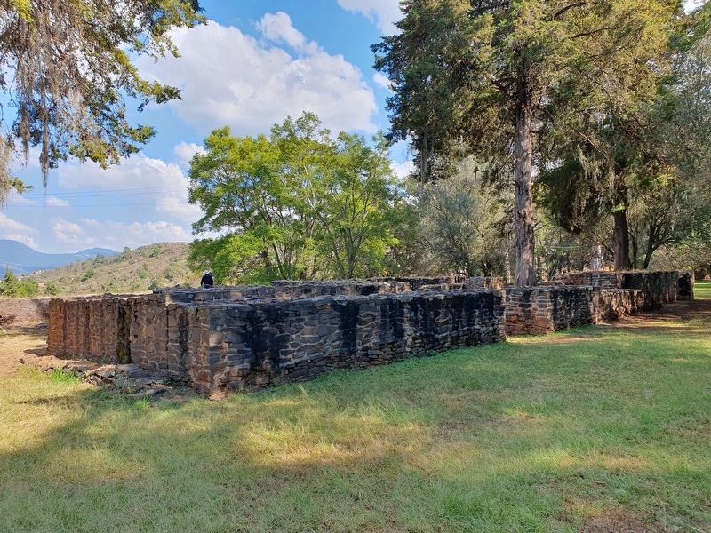
3. A reconstructed building near the marker
This building is known as El Palacio (The Palace).
Credits. This page was last revised on April 4, 2025. It was originally submitted on March 19, 2023, by J. Makali Bruton of Washington, District of Columbia. This page has been viewed 125 times since then and 9 times this year. Photos: 1, 2, 3. submitted on March 19, 2023, by J. Makali Bruton of Washington, District of Columbia.
