Laumeier Sculpture Park in Sunset Hills in St. Louis County, Missouri — The American Midwest (Upper Plains)
Geoffrey Krawzyck (American, born 1978)
Recess, 2014
brick, concrete, stone, wood
dimensions variable
| — | Laumeier Sculpture Park Commission, gift of the artist | — |
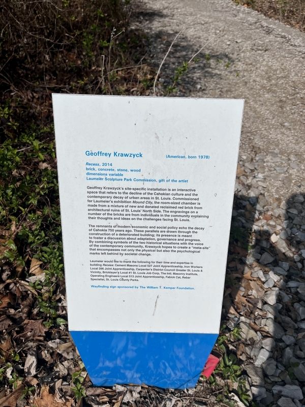
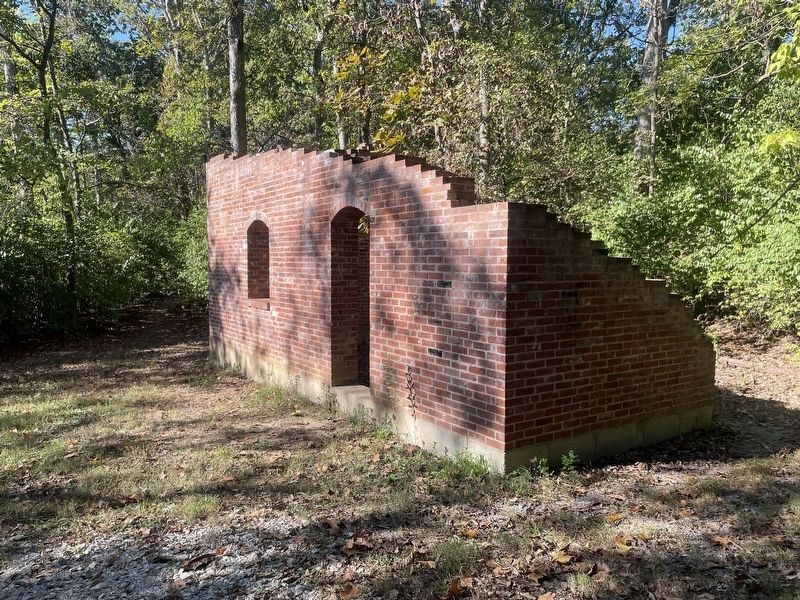
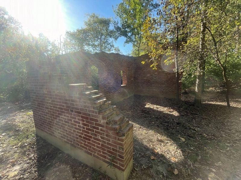
Geoffrey Krawzyck's site-specific installation is an interactive space that refers to the decline of the Cahokian culture and the contemporary decay of urban areas in St. Louis. Commissioned for Laumeier's exhibition Mound City, the room-sized chamber is made from a mixture of new and donated reclaimed red brick from architectural ruins of St. Louis' North Side. The engravings on a number of the bricks are from individuals in the community explaining their thoughts and ideas on the challenges facing St. Louis.
The remnants of modern economic and social policy echo the decay of Cahokia 750 years ago. These parallels are drawn through the construction of a deteriorated building; its presence is meant to foster a discussion about adaptation, governance and progress. By combining symbols of the two historical situations with the voice of the contemporary community, Krawzyck hopes to create a "meta-site" that encompasses not only the physical but also the psychological marks left behind by societal change.
Erected by St. Louis County Parks & Recreation; wayfinding sign sponsored by The William T. Kemper Foundation.
this page online
Topics. This historical marker is listed in these topic lists: Anthropology & Archaeology • Architecture • Arts, Letters, Music • Indigenous Peoples and Communities • Industry & Commerce.
Location. 38° 32.721′ N, 90° 25.082′ W. Marker is in Sunset Hills, Missouri, in St. Louis County. It is in Laumeier Sculpture Park. It can be reached from Laumeier Park Drive east of Rott Road, on the right when traveling east. Touch for map. Marker is at or near this postal address: 12900 Sunset Bluff Ct, Saint Louis MO 63127, United States of America. Touch for directions.

Regionally, this marker is in Greater St. Louis. It is also in the American Midwest, in the Lewis & Clark Corridor, in the Corn Belt, and in the Great River Road Region. Globally, it is in North America, the Western Hemisphere, the Western World, and the Anglosphere. Historically, it finds itself in what was once the Viceroyalty of New France, the territory of the Mississippian Culture, the Louisiana Purchase, and the Antebellum South.
Other nearby markers. At least 8 other markers are within
Additional keywords. urban decay
Photographed by Garrett Koch, October 12, 2025
3. Geoffrey Krawzyck (American, born 1978) Recess sculpture
Photographed by Garrett Koch, October 12, 2025
4. Geoffrey Krawzyck (American, born 1978) sculpture photo
Credits. This page was last revised on October 18, 2025. It was originally submitted on March 29, 2023, by Devry Becker Jones of Washington, District of Columbia. This page has been viewed 177 times since then and 24 times this year. Photos: 1, 2. submitted on March 29, 2023, by Devry Becker Jones of Washington, District of Columbia. 3, 4. submitted on October 16, 2025, by Garrett Koch of Saint Louis, Missouri.
