Gibson in Hamilton, Ontario — Central Canada (North America)
Woodlands Park
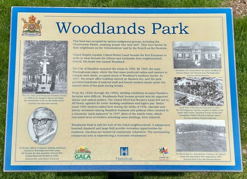
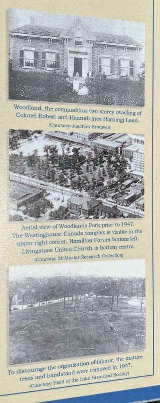
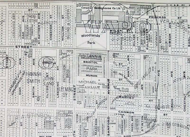
United Empire Loyalist Colonel Robert Land became the first European to settle in what became the Gibson and Landsdale Area neighbourhood (GALA). His home was named Woodland.
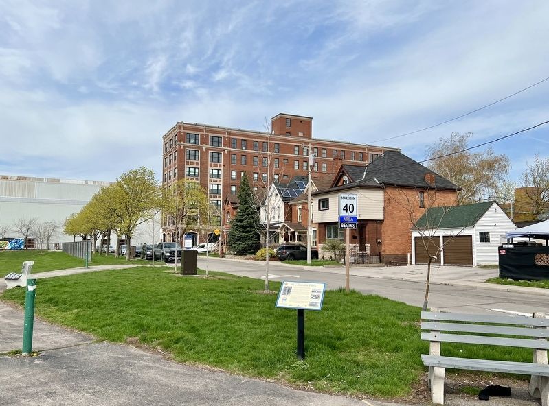
The City of Hamilton acquired the estate in 1895. By 1905, the main Westinghouse plant, where the first mass produced radios and toasters in Canada were made, occupied much of Woodland's northern border. In 1917, the ornate office building opened on Sanford Ave, and the park provided hundreds of salaried staff and hourly workers shade under the mature trees of the park during breaks.
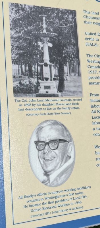
From the 1930s through the 1940s, working conditions at many Hamilton factories were difficult. Woodlands Park became ground zero for organized labour and radical politics. The United Electrical Workers Local 504 led by Alf Ready agitated for better working conditions and higher pay. Stelco Local 1005 workers rallied here during the strike of 1946. Alarmist anti-labour sentiment among Hamilton business and political elites resulted in a traumatic park makeover' in 1947. Most of the stately trees, which concealed faces of workers attending mass meetings, were removed.
Woodlands Park is still the hub of the GALA neighbourhood. A playground, baseball diamond and large field provide recreation opportunities for residents. Gardens are tended by community volunteers. The surrounding commercial area is experiencing an economic renaissance.
Erected by City of Hamilton.
Topics. This historical marker is listed in these topic lists: Industry & Commerce • Labor Unions • Native Americans • Parks & Recreational Areas • Settlements & Settlers. A significant historical year for this entry is 1895.
Location. 43° 15.524′ N, 79° 50.605′ W. Marker is in Hamilton, Ontario. It is in Gibson. Marker is at the intersection of Barton Street East and Sandford Avenue North, on the right when traveling west on Barton Street East. Touch for map. Marker is in this post office area: Hamilton ON L8L 2Y9, Canada. Touch for directions.
Other nearby markers. At least 8 other markers are within 3 kilometers of this marker, measured as the crow flies. Robert Land (1738-1818) (a few steps from this marker); The Place of Firsts (approx. 1.4 kilometers away); Canada’s First Birth Control Clinic (approx. 1.6 kilometers away); Stewart Memorial Church (approx. 1.8 kilometers away); Hamilton CN Station / La gare du CN de Hamilton (approx. 1.9 kilometers away); Sir John Morison Gibson (approx. 1.9 kilometers away); Christ’s Church Cathedral / La Cathédrale de l’Eglise du Christ (approx. 1.9 kilometers away); The North Drill Hall (approx. 1.9 kilometers away). Touch for a list and map of all markers in Hamilton.
Also see . . . workerscity.ca - Woodlands Park.
One of the most memorable demonstrations took place on Sunday, May 1, 1932. Ten thousand Hamiltonians packed into the park to attend a giant May Day rally organized by local progressives. As the first speaker took the podium, local police flooded out of the arena on the other side of Barton Street East. Armed with night sticks, they promptly arrested the event organizers. Dispersing the crowd was not as easy. People surged up and down Barton Street East for hours. Some took refuge on the front verandas of friendly neighbourhood residents. In the end, firemen hosed the demonstrators into submission.(Submitted on April 20, 2023, by Tim Boyd of Hamilton, Ontario.)
Credits. This page was last revised on April 22, 2023. It was originally submitted on April 20, 2023, by Tim Boyd of Hamilton, Ontario. This page has been viewed 126 times since then and 51 times this year. Photos: 1, 2, 3, 4, 5. submitted on April 20, 2023, by Tim Boyd of Hamilton, Ontario. • Andrew Ruppenstein was the editor who published this page.
