Brookston in Lamar County, Texas — The American South (West South Central)
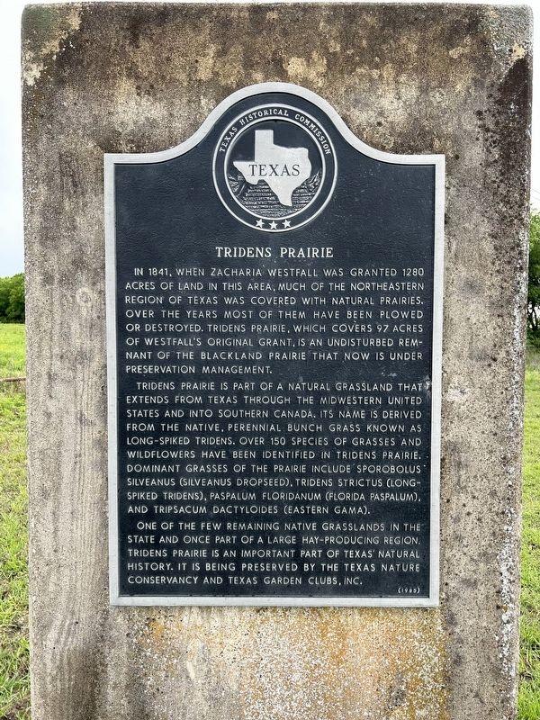
Tridens Prairie
Tridens Prairie is part of a natural grassland that extends from Texas through the midwestern United States and into southern Canada. Its name is derived from the native, perennial bunch grass known as Long-Spiked Tridens. Over 150 species of grasses and wildflowers have been identified in Tridens Prairie. Dominant grasses of the prairie include Sporobolus silveanus (Silveanus Dropseed), Tridens strictus (Long-Spiked Tridens), Paspalum floridanum (Florida Paspalum), and Tripsacum dactyloides (Eastern Gama).
One of the few remaining native grasslands in the state and once part of a large hay-producing region, Tridens Prairie is an important part of Texas' natural history. It is being preserved by the Texas Nature Conservancy and Texas Garden Clubs, Inc.
Erected 1985 by Texas Historical Commission. (Marker Number 8229.)
Topics. This historical marker is listed in these topic lists: Agriculture • Environment • Horticulture & Forestry • Settlements & Settlers. A significant historical year for this entry is 1841.
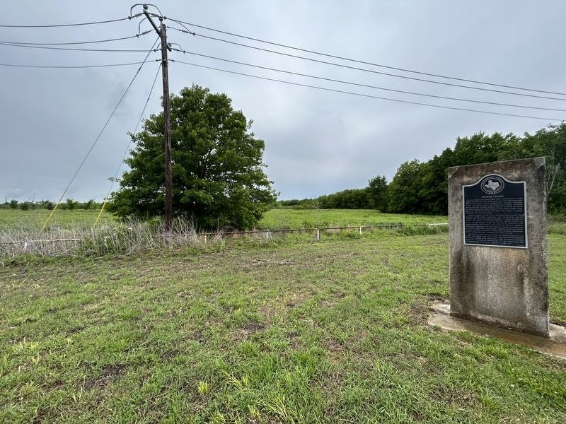
Location. 33° 38.501′ N, 95° 41.858′ W. Marker is in Brookston, Texas, in Lamar County. Marker is at the intersection of Farm to Market Road 38 and U.S. 82, on the right when traveling south on Route 38. Touch for map. Marker is at or near this postal address: 351275 FM 38, Brookston TX 75421, United States of America. Touch for directions.
Other nearby markers. At least 8 other markers are within 8 miles of this marker, measured as the crow flies. Smiley-Woodfin Native Prairie Grassland (approx. half a mile away); Lamar County (approx. 5.7 miles away); Site of Lafayette (approx. 7.2 miles away); Burial Site of John S. Chisum (approx. 7.6 miles away); Union Station (approx. 7.6 miles away); Central National Road (approx. 7.6 miles away); Paris Lodge No. 27, A.F. & A.M. (approx. 7.9 miles away); First Presbyterian Church (approx. 8 miles away).
Credits. This page was last revised on April 24, 2023. It was originally submitted on April 24, 2023, by Morgan Petermann of Irving, Texas. This page has been viewed 153 times since then and 45 times this year. Photos: 1, 2. submitted on April 24, 2023, by Morgan Petermann of Irving, Texas. • James Hulse was the editor who published this page.

