San Pedro in Cameron County, Texas — The American South (West South Central)
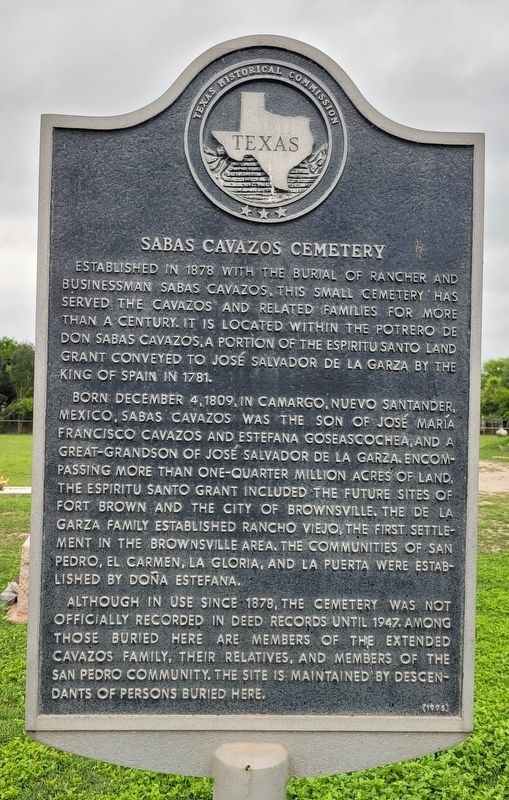
Sabas Cavazos Cemetery
Born December 4, 1809, in Camargo, Nuevo Santander, Mexico, Sabas Cavazos was the son of José María Francisco Cavazos and Estéfana Goseascochea, and a great-grandson of José Salvador de la Garza. Encompassing more than one-quarter million acres of land, the Espíritu Santo grant included the future sites of Fort Brown and the City of Brownsville. The de la Garza family established Rancho Viejo, the first settlement in the Brownsville area. The communities of San Pedro, El Carmen, La Gloria, and La Puerta were established by Doña Estéfana.
Although in use since 1878, the cemetery was not officially recorded in deed records until 1947. Among those buried here are members of the extended Cavazos family, their relatives, and members of the San Pedro community. The site is maintained by descendants of persons buried here.
Erected 1995 by Texas Historical Commission. (Marker Number 4424.)
Topics. This historical marker is listed in these topic lists: Cemeteries & Burial Sites • Hispanic Americans • Immigration. A significant historical date for this entry is December 4, 1809.
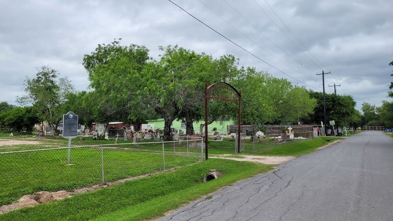
Location. 25° 59.084′ N, 97° 35.7′ W. Marker is in San Pedro, Texas, in Cameron County. Marker is on Cemetery Road, ¼ mile east of Old Military Road, on the left when traveling east. The marker is located at the entrance to the cemetery. Touch for map. Marker is at or near this postal address: 7847 Cemetery Rd, Brownsville TX 78520, United States of America. Touch for directions.
Other nearby markers. At least 8 other markers are within 6 miles of this marker, measured as the crow flies. Estéfana Goseascochea Cemetery (approx. 1.9 miles away); Here Was Santa Rita (approx. 3.3 miles away); Esparza Cemetery (approx. 3.4 miles away); "Rancho Viejo" (approx. 4.6 miles away); Brownsville C.S.A. (approx. 6 miles away); Palo Alto Battlefield National Park (approx. 6 miles away); The Battle of Palo Alto (approx. 6 miles away); Cameron County (approx. 6 miles away).
Credits. This page was last revised on April 25, 2023. It was originally submitted on April 24, 2023, by James Hulse of Medina, Texas. This page has been viewed 148 times since then and 43 times this year. Photos: 1, 2. submitted on April 25, 2023, by James Hulse of Medina, Texas.

