West Memphis in Crittenden County, Arkansas — The American South (West South Central)
Indian Mounds
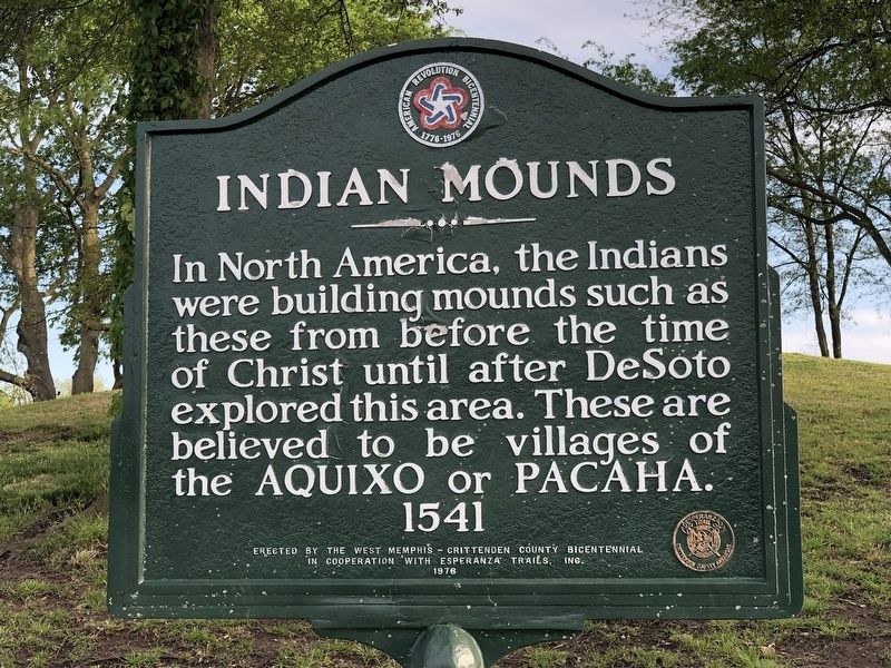
Photographed by Duane and Tracy Marsteller, April 22, 2023
1. Indian Mounds Marker
Erected 1976 by West Memphis-Crittenden County Bicentennial • Esperanza Trails, Inc.
Topics. This historical marker is listed in these topic lists: Anthropology & Archaeology • Exploration • Indigenous Peoples and Communities • Settlements & Settlers. A significant historical year for this entry is 1541.
Location. 35° 11.414′ N, 90° 7.683′ W. Marker is in West Memphis, Arkansas, in Crittenden County. It is on Dacus Road 0.1 miles east of County Route 27, on the right when traveling east. Touch for map. Marker is at or near this postal address: 191 Dacus Rd, Marion AR 72364, United States of America. Touch for directions.

Regionally, this marker is in the Arkansas Delta and in the Mississippi Alluvial Plain. It is also in the American South, specifically in the Upper South, in the Mississippi Delta, and in the Great River Road Region. Globally, it is in North America, the Western Hemisphere,
this page online
Other nearby markers. At least 8 other markers are within 5 miles of this marker, measured as the crow flies: A Lake Called Cayman (about 500 feet away, measured in a direct line); Mound City (approx. 0.2 miles away); The Plantation Inn (approx. 3.1 miles away); The Sinking of the Sultana (approx. 4 miles away); Hernando De Soto's expeditionary force entering Arkansas (approx. 4.1 miles away); The Trail of Tears...A Sad Chapter in American History (approx. 4.2 miles away); Marion Hotel (approx. 4.2 miles away); Father Jacques Marquette and Louis Joliet's French expedition arrived in Arkansas (approx. 4.2 miles away). Touch for a list and map of all markers in West Memphis.
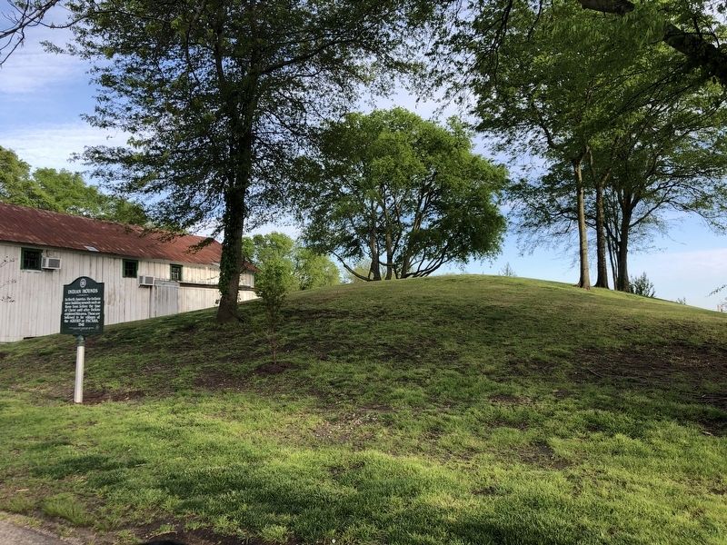
Photographed by Duane and Tracy Marsteller, April 22, 2023
2. Indian Mounds Marker
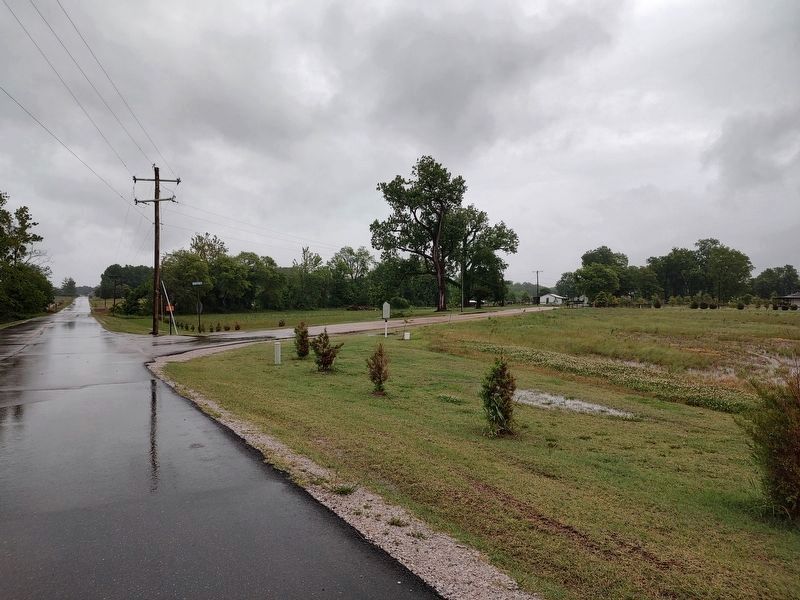
Photographed by Jimmy Emerson, May 6, 2026
3. Mound City Markers
All three markers in Mound City are within eyeshot of one another. The "Mound City" marker is in the foreground, "Lake Called Cayman" is between the power poles across the road and the "Indian Mounds" marker is under the trees on the right side of the road in the distance.
Credits. This page was last revised on May 8, 2026. It was originally submitted on April 27, 2023, by Duane and Tracy Marsteller of Murfreesboro, Tennessee. This page has been viewed 1,657 times since then and 211 times this year. Photos: 1, 2. submitted on April 27, 2023, by Duane and Tracy Marsteller of Murfreesboro, Tennessee. 3. submitted on May 6, 2026, by Jimmy Emerson of Dalton, Georgia.
