Near Lone Pine in Inyo County, California — The American West (Pacific Coastal)
Diaz Lake
Photographed by Craig Baker, April 27, 2023
1. Diaz Lake Marker
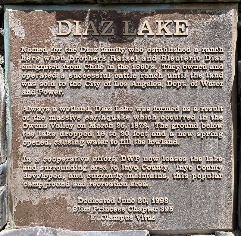
Named for the Diaz family who established a ranch here when brothers Rafael and Eleuterio Diaz emigrated from Chile in the 1860's. They owned and operated a successful cattle ranch until the land was sold to the City of Los Angeles Dept of Water and Power.
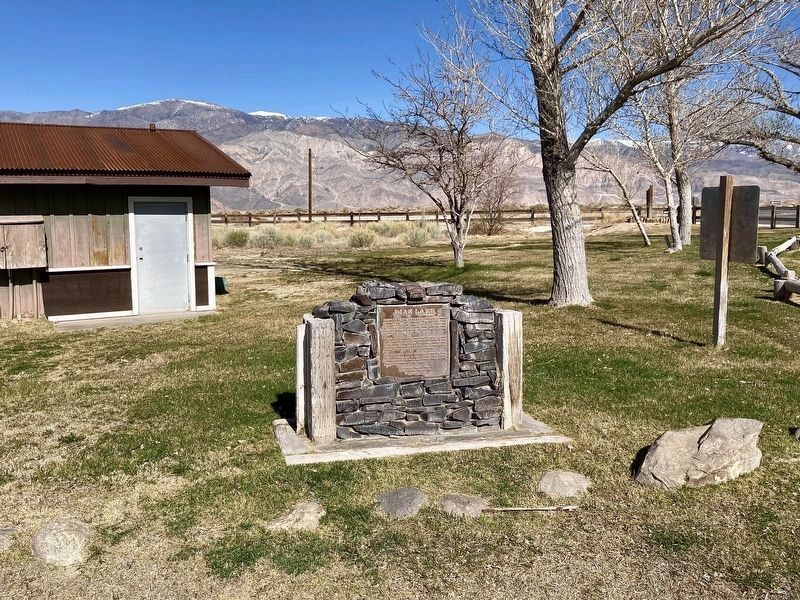
Always a wetland, Diaz Lake was formed as a result of the massive earthquake which occurred in the Owens Valley on March 26, 1872. The ground below the lake dropped 16 to 20 feet and a new spring opened, causing water to fill the lowland.
In a cooperative effort, DWP now leases the lake and surrounding area to Inyo County. Inyo County developed, and currently maintains, this popular Campground and recreation area.
Erected 1998 by Slim Princess Chapter 395 E Clampus Vitus.
Topics. This historical marker is listed in these topic lists: Agriculture • Disasters • Industry & Commerce • Parks & Recreational Areas. A significant historical date for this entry is March 26, 1872.
Location. 36° 33.636′ N, 118° 3.104′ W. Marker is near Lone Pine, California, in Inyo County. It can be reached from U.S. 395 1.4 miles south of California Route 136, on
this page online

Regionally, this marker is in the Sierra Nevada. It is also in the American Mountain West. Globally, it is in North America, on the Ring of Fire, on the Pacific Rim, in the Western Hemisphere, in the Western World, and in the Anglosphere. Historically, it finds itself in what was once New Spain and also Mexico’s Alta California.
Other nearby markers. At least 8 other markers are within 4 miles of this marker, measured as the crow flies: Alabama Hills (within shouting distance of this marker); Lone Pine Pioneer Cemetery (approx. 2.8 miles away); Lone Pine Film Museum (approx. 2.9 miles away); The Duke and the Dow (approx. 3.1 miles away); Lone Pine's 'Movie Man' (approx. 3.1 miles away); Mt. Whitney Pack Trains (approx. 3.1 miles away); The Adobe Wall (approx. 3.2 miles away); Wedding of the Waters Pageant (approx. 3.3 miles away). Touch for a list and map of all markers in Lone Pine.
Photographed by Craig Baker, March 8, 2024
2. Diaz Lake Marker

Photographed by Craig Baker, April 27, 2023
3. Diaz Lake and Marker

Photographed by Craig Baker, March 8, 2024
4. Diaz Lake
Credits. This page was last revised on March 9, 2024. It was originally submitted on April 28, 2023, by Craig Baker of Sylmar, California. This page has been viewed 848 times since then and 66 times this year. Photos: 1. submitted on April 28, 2023, by Craig Baker of Sylmar, California. 2. submitted on March 9, 2024, by Craig Baker of Sylmar, California. 3. submitted on April 28, 2023, by Craig Baker of Sylmar, California. 4. submitted on March 9, 2024, by Craig Baker of Sylmar, California.
