
French Quarter in New Orleans in Orleans Parish, Louisiana — The American South (West South Central)
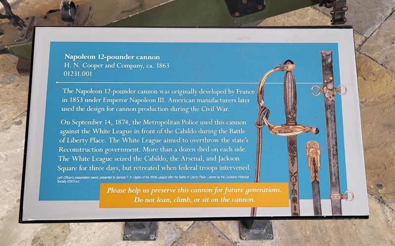
Napoleon 12-pounder cannon
H. N. Cooper and Company, ca. 1863
| — | 01231.001 | — |
Photographed by James Hulse, January 12, 2023
1. Napoleon 12-pounder cannon Marker
On September 14, 1874, the Metropolitan Police used this cannon against the White League in front of the Cabildo during the Battle of Liberty Place. The White League aimed to overthrow the state's Reconstruction government. More than a dozen died on each side. The White League seized the Cabildo, the Arsenal, and Jackson Square for three days, but retreated when federal troops intervened.
Captions
Left Officer's presentation sword, presented to General F. N. Ogden of the White League after the Battle of Liberty Place. Loaned by the Louisiana Historical Society 01913 a-c.
Do not lean, climb, or sit on the cannon.
Erected by Louisiana State Museum.
Topics. This historical marker is listed in these topic lists: Law Enforcement • War, US Civil. A significant historical date for this entry is September 14, 1874.
Location. 29° 57.452′ N, 90° 3.831′ W. Marker is in New Orleans,
this page online

Regionally, this marker is in Louisiana’s River Parishes. It is also in the American South, specifically in the Deep South, on the Gulf Coast, and in the Great River Road Region. Globally, it is in North America, a Gulf of Mexico state, the Western Hemisphere, the Western World, and the Anglosphere. Historically, it finds itself in what was once New Spain, the Viceroyalty of New France, the territory of the Mississippian Culture, the Louisiana Purchase, one of the Confederate States of America, and the Antebellum South.
Other nearby markers. At least 8 other markers are within walking distance of this marker: The Cabildo (here, next to this marker); To the French Patriots of 1768 (here, next to this marker); Don Bernardo de Galvez
Photographed by James Hulse, January 12, 2023
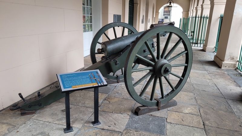
2. The Napoleon 12-pounder cannon and Marker in front of the museum
Credits. This page was last revised on April 29, 2023. It was originally submitted on April 29, 2023, by James Hulse of Medina, Texas. This page has been viewed 376 times since then and 32 times this year. Photos: 1, 2. submitted on April 29, 2023, by James Hulse of Medina, Texas.
