Halifax in Halifax County, North Carolina — The American South (South Atlantic)
Ram Albemarle
Photographed by Don Morfe, September 27, 2013
1. Ram Albemarle Marker
North Carolina Highway Historical Marker Program website entry
Click for more information.
Click for more information.
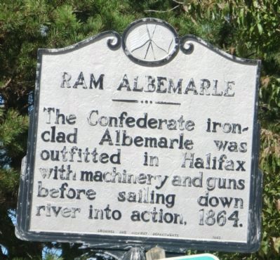
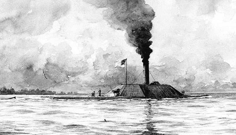
The Confederate ironclad Albemarle was outfitted in Halifax with machinery and guns before sailing down river into action, 1864.
Erected 1962 by Archives and Highway Departments. (Marker Number EEE-1.)
Topics and series. This historical marker is listed in these topic lists: War, US Civil • Waterways & Vessels. In addition, it is included in the North Carolina Division of Archives and History series list. A significant historical year for this entry is 1864.
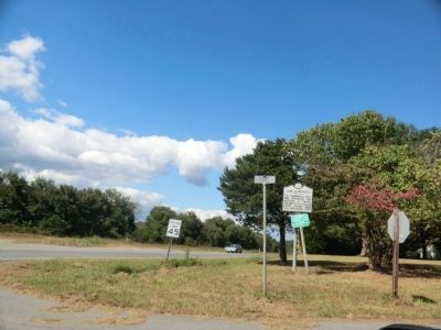
Location. 36° 19.601′ N, 77° 35.593′ W. Marker is in Halifax, North Carolina, in Halifax County. It is at the intersection of U.S. 301 and Dobbs Street, on the right when traveling north on U.S. 301. Touch for map. Marker is at or near this postal address: 193 US-301, Halifax NC 27839, United States of America. Touch for directions.

Regionally, this marker is in North Carolina’s Coastal Plain. It is also in the American South and specifically in the Upper South. Globally, it is in North America, the Western Hemisphere, the Western World, and the Anglosphere. Historically, it finds itself in what was once the territory of the Mississippian Culture,
this page online
Other nearby markers. At least 8 other markers are within walking distance of this marker: The Charters of Freedom (approx. ¼ mile away); Halifax Resolves Monument (approx. ¼ mile away); John H. Eaton (approx. 0.3 miles away); "Colonial Churchyard" (approx. 0.3 miles away); William R. Davie House (approx. 0.3 miles away); Eagle Tavern (approx. 0.3 miles away); Cornwallis (approx. 0.3 miles away); The Halifax Resolves (approx. 0.3 miles away). Touch for a list and map of all markers in Halifax.
Also see . . . CSS Albemarle. Wikipedia entry (Submitted on May 29, 2022, by Larry Gertner of New York, New York.)
Photographed by Don Morfe, September 27, 2013
2. Ram Albemarle Marker
via Wikipedia, unknown
3. CSS Albemarle
Credits. This page was last revised on April 29, 2023. It was originally submitted on December 1, 2013, by Don Morfe of Baltimore, Maryland. This page has been viewed 827 times since then and 32 times this year. Last updated on April 29, 2023, by Michael Buckner of Durham, North Carolina. Photos: 1, 2. submitted on December 1, 2013, by Don Morfe of Baltimore, Maryland. 3. submitted on May 29, 2022, by Larry Gertner of New York, New York. • Bernard Fisher was the editor who published this page.
