Near Garysburg in Northampton County, North Carolina — The American South (South Atlantic)
Roanoke River
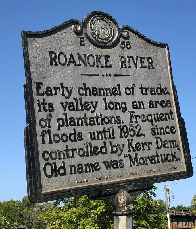
Erected 1954 by Archives, Conservation and Highway Departments. (Marker Number E-56.)
Topics and series. This historical marker is listed in these topic lists: Agriculture • Settlements & Settlers • Waterways & Vessels. In addition, it is included in the North Carolina Division of Archives and History series list. A significant historical year for this entry is 1952.
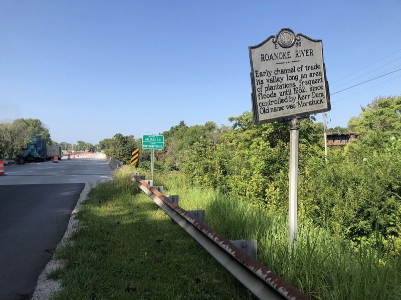
Location. 36° 25.861′ N, 77° 35.366′ W. Marker is near Garysburg, North Carolina, in Northampton County. It is on U.S. 158/301 0.3 miles east of Sycamore Street, on the right when traveling west. Touch for map. Marker is at or near this postal address: 154 US-301, Weldon NC 27890, United States of America. Touch for directions.

Regionally, this marker is in the Coastal Plain. It is also in the American South and specifically in the Upper South. Globally, it is in North America, the Western Hemisphere, the Western World, and the Anglosphere. Historically, it finds itself in what was once the
this page online
Other nearby markers. At least 8 other markers are within walking distance of this marker: First Railroad (within shouting distance of this marker); Wilmington & Weldon RR Trestle (approx. 0.2 miles away); Conservation Pays Off (approx. ¼ mile away); Welcome to The Roanoke Canal Museum and Trail / Canal Trail Map (approx. ¼ mile away); The Mills at Weldon (approx. 0.3 miles away); Roanoke Canal (approx. 0.4 miles away); Historic Weldon Railroad (approx. 0.4 miles away); Weldon Railroads (approx. 0.4 miles away).
Credits. This page was last revised on May 9, 2023. It was originally submitted on August 28, 2021, by Devry Becker Jones of Washington, District of Columbia. This page has been viewed 411 times since then and 52 times this year. Last updated on May 5, 2023, by Michael Buckner of Durham, North Carolina. Photos: 1, 2. submitted on August 28, 2021, by Devry Becker Jones of Washington, District of Columbia. • Bernard Fisher was the editor who published this page.
