Nipigon in Thunder Bay District, Ontario — Central Canada (North America)
Municipal Office and Jail
Photographed by Cosmos Mariner, June 9, 2022
1. Municipal Office and Jail Marker
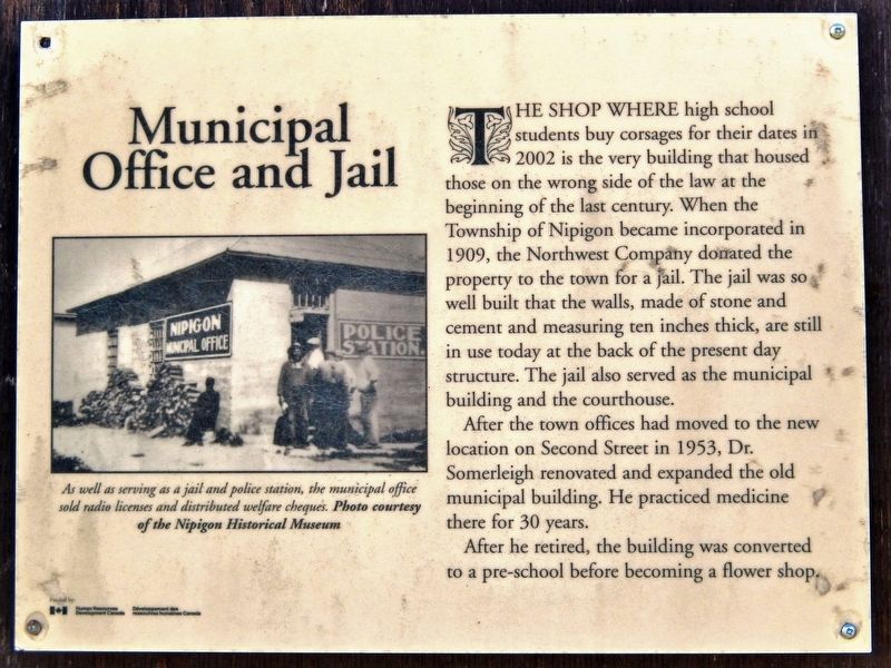
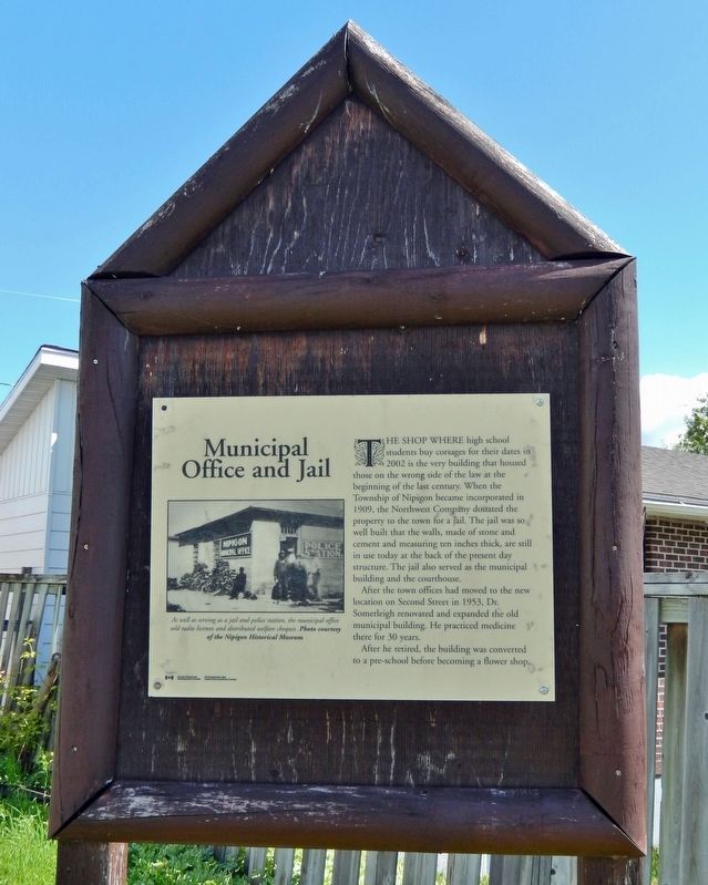
The shop where high school students buy corsages for their dates in 2002 is the very building that housed those on the wrong side of the law at the beginning of the last century. When the Township of Nipigon became incorporated in 1909, the Northwest Company donated the property to the town for a jail. The jail was so well built that the walls, made of stone and cement and measuring ten inches thick, are still in use today at the back of the present day structure. The jail also served as the municipal building and the courthouse.
After the town offices had moved to the new location on Second Street in 1953, Dr. Somerleigh renovated and expanded the old municipal building. He practiced medicine there for 30 years.
After he retired, the building was converted to a pre-school before becoming a flower shop.
Topics. This historical marker is listed in these topic lists: Architecture • Industry & Commerce • Law Enforcement • Science & Medicine. A significant historical year for this entry is 1953.
Location. 49° 0.643′ N, 88° 15.792′ W. Marker is in Nipigon, Ontario, in Thunder Bay District. It is on 1st Street east
this page online

Regionally, this marker is in Northern Ontario and specifically in Northwest Ontario. It is also in Central Canada. Globally, it is in North America, in the Great North Woods, on the Great Lakes, on Lake Superior’s North Shore, in the Western Hemisphere, in the Western World, and in the Anglosphere. Historically, it finds itself in what was once a British colony, the Viceroyalty of New France, the Haudenosaunee (Iroquois) Confederacy, and Rupert’s Land.
Other nearby markers. At least 8 other markers are within walking distance of this marker: Hydro Building / United Church (within shouting distance of this marker); The Nipigon Inn (within shouting distance of this marker); First School (about 90 meters away, measured in a direct line); Flanagan House (about 120 meters away); Hudson's Bay Company (about 120 meters away); Revillon Brothers (about 150 meters away); Skandia House (about
Courtesy Nipigon Historical Museum
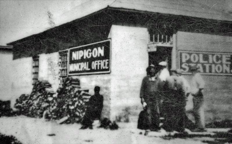
2. Marker detail: Nipigon Municipal Office
As well as serving as a jail and police station, the municipal office sold radio licenses and distributed welfare cheques.
Photographed by Cosmos Mariner, June 9, 2022
3. Municipal Office and Jail Marker
Photographed by Cosmos Mariner, June 9, 2022
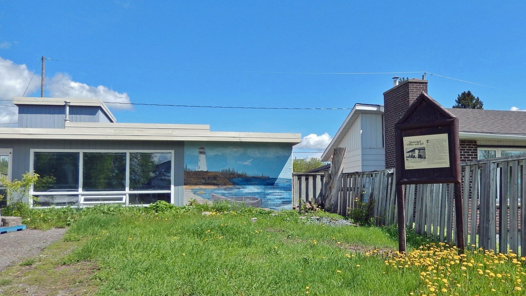
4. Old Municipal Office and Jail Building
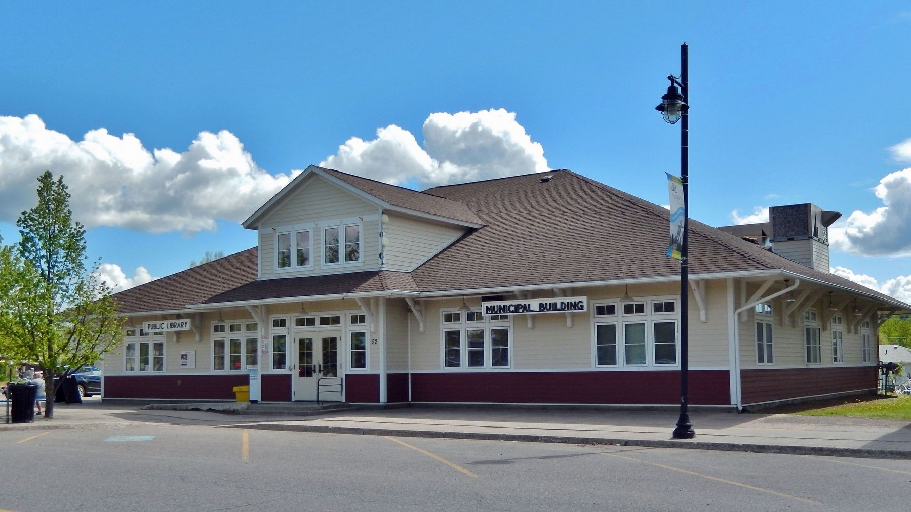
Photographed by Cosmos Mariner, June 9, 2022
5. New Municipal Office and Public Library
Credits. This page was last revised on May 8, 2023. It was originally submitted on May 5, 2023, by Cosmos Mariner of Cape Canaveral, Florida. This page has been viewed 187 times since then and 28 times this year. Photos: 1, 2, 3, 4, 5. submitted on May 8, 2023, by Cosmos Mariner of Cape Canaveral, Florida.
