Downtown Providence in Providence County, Rhode Island — The American Northeast (New England)
1982 / 1989
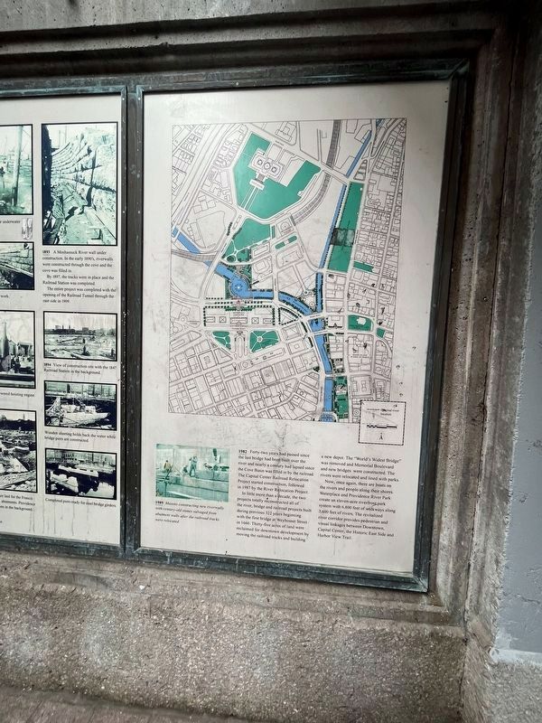
1982 Forty-two years had passed since the last bridge had been built over the river and nearly a century had lapsed since the Cove Basin was filled in by the railroad. The Capital Center Railroad Relocation Project started construction, followed in 1987 by the River Relocation Project.
In little more than a decade, the two projects totally reconstructed all of the river, bridge and railroad projects built during previous 322 years beginning with the first bridge at Weybosset Street in 1660. Thirty-five acres of land were reclaimed for downtown development by moving the railroad tracks and building a new depot. The "World's Widest Bridge" was removed and Memorial Boulevard and new bridges were constructed. The rivers were relocated and lined with parks.
Now, once again, there are boats on the rivers and people along their shores. Waterplace and Providence River Park create an eleven-acre riverfront park system with 6,800 feet of walkways along 3,600 feet of rivers. The revitalized river corridor provides pedestrian and visual linkages between Downtown, Capital Center, the Historic East Side and Harbor View Trail.
1989 Masons constructing new riverwalls with century-old stones salvaged from abutment walls after the railroad tracks were relocated.
Topics. This historical marker is listed in these topic lists: Bridges & Viaducts • Colonial Era • Parks & Recreational Areas • Waterways & Vessels. A significant historical year for this entry is 1982.
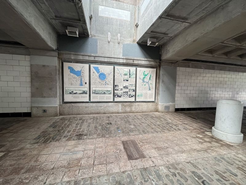
Location. 41° 49.583′ N, 71° 24.827′ W. Marker is in Providence, Rhode Island, in Providence County. It is in Downtown Providence. Marker can be reached from Memorial Boulevard west of Exchange Street. The marker is in the open-air tunnel below Memorial Boulevard. Touch for map. Marker is at or near this postal address: 5 Memorial Blvd, Providence RI 02903, United States of America. Touch for directions.
Other nearby markers. At least 8 other markers are within walking distance of this marker. 1873 - 1909 (here, next to this marker); 1856 (here, next to this marker); 1832 (here, next to this marker); 1775 (a few steps from this marker); Wall of Hope (a few steps from this marker); 1803 (a few steps from this marker); 1650 (a few steps from this marker); 1700 (a few steps from this marker). Touch for a list and map of all markers in Providence.
Credits. This page was last revised on May 8, 2023. It was originally submitted on May 8, 2023, by Devry Becker Jones of Washington, District of Columbia. This page has been viewed 44 times since then and 8 times this year. Photos: 1, 2. submitted on May 8, 2023, by Devry Becker Jones of Washington, District of Columbia.

