Bristol in Bristol County, Rhode Island — The American Northeast (New England)
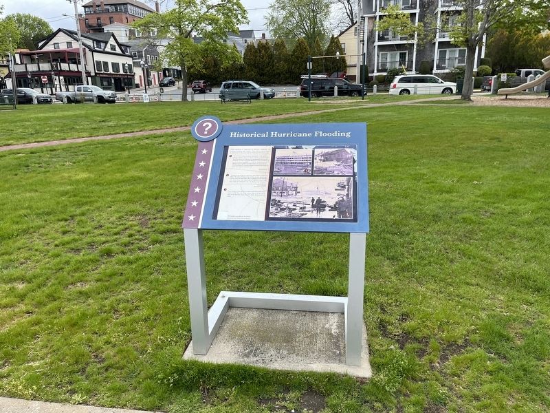
Historical Hurricane Flooding
❔
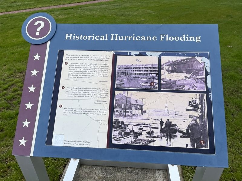
Flood awareness is important to Bristol's community of residents, businesses and visitors. These historic photos depict the destruction to the town from the 1938 and 1954 Hurricanes.
❶ The D'Wolf Inn stood on this spot (photograph c. 1900) and was a popular summer resort on Bristol Harbor. It was later used as a living quarters for employees of the National India Rubber Company. In 1926, Charles B. Rockwell, owner of the property, had the building demolished. In 1928, Mr. Rockwell allowed the land where it stood to be used as a park. Not long after the 1938 Hurricanes, Mr. Rockwell deeded the land to the Town of Bristol and it is now Rockwell Park.
Bristol Phoenix
❷ "Citizens living along the waterfront were helped to places of safety. The most thrilling rescue was that of three State Police Officers from the State Police Boat Commodore. A few minutes after these officers were helped ashore by Bristol Police, a tidal wave swept the Commodore atop the Staples Coal Company."
Bristol Phoenix
September 23, 1938
❸ View looking west at the foot of State Street during Hurricane Carol in 1954. The roof of the Lobster Claw is all that can be seen of this building which was later totally destroyed by the storm.
Bristol Phoenix
Photographs provided by the Bristol Historical and Preservation Society.
Topics. This historical marker is listed in these topic lists: Disasters • Industry & Commerce • Law Enforcement • Parks & Recreational Areas • Waterways & Vessels. A significant historical date for this entry is September 23, 1938.
Location. 41° 40.131′ N, 71° 16.675′ W. Marker is in Bristol, Rhode Island, in Bristol County. Marker can be reached from Thames Street south of John Street, on the right when traveling south. The marker stands on the grounds of Rockwell Park. Touch for map. Marker is at or near this postal address: 201 Thames St, Bristol RI 02809, United States of America. Touch for directions.
Other nearby markers. At least 8 other markers are within walking distance of this marker. Firefighters' Memorial Park (within shouting distance of this marker); Historical Bristol (within shouting distance of this marker); Spc Michael Andrade Memorial Boardwalk (within shouting distance of this marker); a different marker also named Historical Bristol (about 400 feet away, measured in a direct line); St. Michael's Church in Bristol (about 500 feet away); Women Veterans Memorial (about 500 feet away); Bristol Civil War Monument (about 600 feet away); In Memoriam (about 600 feet away). Touch for a list and map of all markers in Bristol.
Credits. This page was last revised on May 9, 2023. It was originally submitted on May 9, 2023, by Devry Becker Jones of Washington, District of Columbia. This page has been viewed 55 times since then and 10 times this year. Photos: 1, 2. submitted on May 9, 2023, by Devry Becker Jones of Washington, District of Columbia.

