Bristol in Bristol County, Rhode Island — The American Northeast (New England)
Historical Bristol
The Harbor and Its Uses
— ❔ —
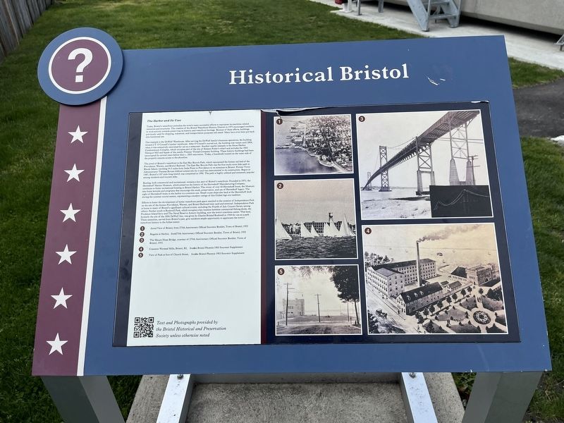
Today, Bristol's waterfront embodies the town's many successful efforts to repurpose its maritime-related resources and structures. The creation of the Bristol Waterfront Historic District in 1975 encouraged residents to work actively towards preserving its historic and waterfront heritage. Because of these efforts, buildings previously used for shipping, industrial, and transportation purposes still stand. Many have even been put back into functional use.
One example is the DeWolf Warehouse. After serving the DeWolf family's business operations, the building housed J.T. O'Connell's lumber warehouse. After O'Connell's moved out, the building was vacant until 2004, when it was extensively renovated for use as a restaurant. Another nearby example is the Stone Harbor Condominium Complex, which occupies part of the site of Simeon Potter's wharf and includes the 1843 Namquit Mill and façade of the nearby Premier Thread Company building. These historic buildings had been unoccupied for several years before their c. 2005 renovation. Today, a boardwalk located on the water side of the property ensures access to the shoreline.
The jewel of Bristol's waterfront is the East Bay Bicycle Path, which repurposed the former rail bed of the Providence, Warren, and Bristol Railroad. The East Bay Bicycle Path was the first multi-town bike path in Rhode Island, traveling 14.5 miles from India Point to Providence to its terminus in Bristol. Former Town Administrator Thomas Byrnes lobbied extensively for it and was instrumental to its construction. Begun in 1987, Bristol's 3.87 mile-long stretch was completed in 1990. The path is highly-utilized and extremely popular among residents and tourists alike.
Boating, both commercial and recreational, remains a key part of Bristol's waterfront. Founded in 1971, the Herreshoff Marine Museum, which preserves the history of the Herreshoff Manufacturing Company, continues to foster recreational boating in Bristol Harbor. The owner of over 60 Herreshoff legacy. The sight of Herreshoff boats in the harbor is a common one. Small cruise ships also land at the Herreshoff dock during the summer tourist season, representing a modern vestige of this Gilded Age-era tradition.
Efforts to foster the development of better waterfront park space in the creation of Independence Park on the site of the former Providence, Warren, and Bristol Railroad train yard and terminal. Independence Park is home to many of Bristol's significant cultural events, including the Fourth of July Concert Series, among others. Farther south is Rockwell Park, which occupies a key location between commercial fishing docks, the Prudence Island ferry and The Naval Reserve Armory building,
Topics. This historical marker is listed in these topic lists: Industry & Commerce • Parks & Recreational Areas • Railroads & Streetcars • Roads & Vehicles • Waterways & Vessels. A significant historical year for this entry is 1975.
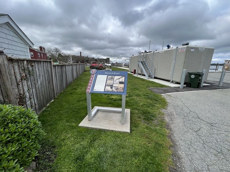
Location. 41° 40.185′ N, 71° 16.706′ W. Marker is in Bristol, Rhode Island, in Bristol County. Marker is on State Street west of Thames Street, on the left when traveling west. Touch for map. Marker is at or near this postal address: 147 Thames St, Bristol RI 02809, United States of America. Touch for directions.
Other nearby markers. At least 8 other markers are within walking distance of this marker. Spc Michael Andrade Memorial Boardwalk (within shouting distance of this marker); a different marker also named Historical Bristol (within shouting distance of this marker); Historic Distillery Site (about 300 feet away, measured in a direct line); James DeWolf (about 300 feet away); Historical Hurricane Flooding (about 400 feet away); World War I Memorial / American Legion Memorial Square (about 500 feet away); The Easterbrooks-Paull Block (about 500 feet away); Firefighters' Memorial Park (about 600 feet away). Touch for a list and map of all markers in Bristol.
Credits. This page was last revised on May 9, 2023. It was originally submitted on May 9, 2023, by Devry Becker Jones of Washington, District of Columbia. This page has been viewed 68 times since then and 28 times this year. Photos: 1, 2. submitted on May 9, 2023, by Devry Becker Jones of Washington, District of Columbia.

