Bristol in Bristol County, Rhode Island — The American Northeast (New England)
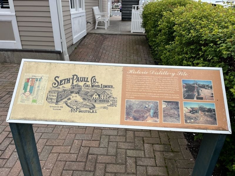
Historic Distillery Site
Finney's Distillery was discovered during demolition of the structure of the original Bank of Bristol (shown below, center). For nearly thirty-five years, two hundred gallons of rum were made each day. The rum was placed in barrels called "hogsheads", which held 63 gallons each. A ready market for the product was found on the Westcoast of Africa. The rum was bartered for slaves on the triangle trade route. At one time, in Bristol, five distilleries were in active operation. In each of them, molasses was converted into rum. the last was closed in 1830, the business having ceased to be profitable.
Historic records show that this distillery site was hit by British fire during the attack on Bristol on October 7, 1775. Apparently, a rum barrel was destroyed in the attack.
Topics. This historical marker is listed in these topic lists: Anthropology & Archaeology • Colonial Era • Industry & Commerce • War, US Revolutionary • Waterways & Vessels. A significant historical date for this entry is October 7, 1775.
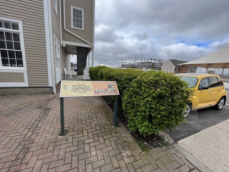
Location. 41° 40.226′ N, 71° 16.736′ W. Marker is in Bristol, Rhode Island, in Bristol County. Marker can be reached from Thames Street near State Street, on the left when traveling north. Touch for map. Marker is at or near this postal address: 267 Thames St, Bristol RI 02809, United States of America. Touch for directions.
Other nearby markers. At least 8 other markers are within walking distance of this marker. James DeWolf (within shouting distance of this marker); Historical Bristol (about 300 feet away, measured in a direct line); Spc Michael Andrade Memorial Boardwalk (about 400 feet away); a different marker also named Historical Bristol (about 400 feet away); a different marker also named Historical Bristol (about 400 feet away); a different marker also named Historical Bristol (about 500 feet away); The Easterbrooks-Paull Block (about 600 feet away); World War I Memorial / American Legion Memorial Square (about 600 feet away). Touch for a list and map of all markers in Bristol.
Additional keywords. human trafficking
Credits. This page was last revised on May 9, 2023. It was originally submitted on May 9, 2023, by Devry Becker Jones of Washington, District of Columbia. This page has been viewed 91 times since then and 40 times this year. Photos: 1, 2. submitted on May 9, 2023, by Devry Becker Jones of Washington, District of Columbia.

