Barrington in Bristol County, Rhode Island — The American Northeast (New England)
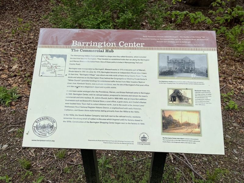
Barrington Center
The Commercial Hub
Early Plymouth colonists called Barrington "The Garden of the Colony" for its beautiful location on Narragansett Bay and the Providence River, its numerous streams and meadows, and its fertile soil.
- from Bicknell, A History of Barrington Rhode Island, 1898
The Wampanoag Indians lived and traded in a large area they called Sowams, which included the land that became Barrington. They traveled on established trails that ran along the Barrington and Warren Rivers to Rumstick Point. One of these paths is today's Wamanoag Trail and County Road.
Barrington was incorporated as Barrington, Massachusetts in 1717; it became part of Warren, Rhode Island in 1747. On June 16, 1770, Barrington became an independent Rhode Island town. At that time, "Barrington Villag" was about one mile north of here along County Road. There, docks and wharves on the Barrington River behind the Congregational Meeting House (today's "White Church") provided landings for waterborne traffic ferried from New Meadow Neck or down river. Kinnicutt Tavern, now a private residence, was the site of Barrington's first post office and also served as a stagecoach depot and a public stable.
A new town center emerged after the Providence, Warren, and Bristol Railroad came to Barrington in 1855. Barrington Center, with its railroad station, prospered to become and remain the town's commercial and civic nucleus. St. John's Church, built in 1858-1859, was an important addition. Businesses such as Bosworth's General Store, a post office, a grain store, and Chellel's Market were located here; Town Hall is a short distance north. Just to the south is the Jennys Lane/Mathewson Road National Register Historic District, a neighborhood with early Victorian Craftsman, and Queen Anne-style homes dating primarily from the 1850s to the 1920s.
In the 1930s, the Newth Rubber Company was built next to the railroad tracks; residents remember the strong smell of rubber in this area which lingered until the factory closed in the 1970s. Construction of the Barrington Shopping Center began next to the factory in 1948.
[Captions:]
Fire Department Headquarters (built circa 1931) at 3 Rumstick Road, just south of the Barrington Shopping Center. This building has been a private residence singe 2000.
Blacksmith Chester Allen (1858-1937) made horseshoes and wagon wheels. He walked daily to his shop (shown here), formerly located on the northwest corner of Waseca Avenue and County Road, from his house on Tyler Point. Early 1920s photo.
The Barrington Center train depot is shown in this postcard. The crossing tender, on the right
Erected by Barrington Preservation Society.
Topics. This historical marker is listed in these topic lists: Colonial Era • Industry & Commerce • Native Americans • Political Subdivisions • Settlements & Settlers • Waterways & Vessels. A significant historical date for this entry is June 16, 1770.
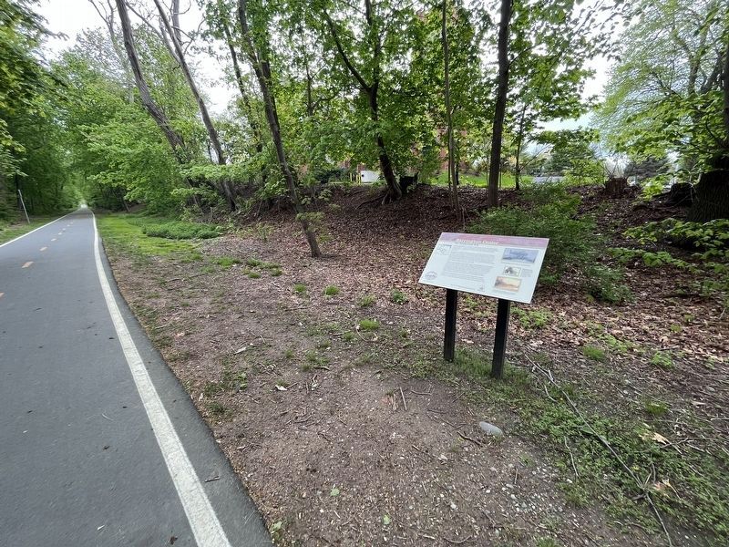
Location. 41° 44.252′ N, 71° 18.218′ W. Marker is in Barrington, Rhode Island, in Bristol County. Marker is on East Bay Bike Path east of County Road (Rhode Island Route 114), on the right when traveling east. Touch for map. Marker is at or near this postal address: 191 County Rd, Barrington RI 02806, United States of America. Touch for directions.
Other nearby markers. At least 8 other markers are within 2 miles of this marker, measured as the crow flies. Police Cove (approx. 0.3 miles away); New Meadow Neck (approx. half a mile away); The Warren Bridge (approx. 0.8 miles away); William Schaff (approx. one mile away); The Oyster Industry (approx. 1.1 miles away); Massasoit Park Sacred Circle Monument (approx. 1.1 miles away); The Middle Passage (approx. 1.1 miles away); The First Methodist Church (approx. 1.2 miles away). Touch for a list and map of all markers in Barrington.
Credits. This page was last revised on May 29, 2023. It was originally submitted on May 10, 2023, by Devry Becker Jones of Washington, District of Columbia. This page has been viewed 125 times since then and 49 times this year. Photos: 1, 2. submitted on May 10, 2023, by Devry Becker Jones of Washington, District of Columbia.

