Hillsborough in Orange County, North Carolina — The American South (South Atlantic)
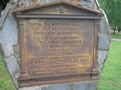
Boone Expedition for Kentucky
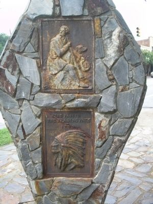
Boone Highway / The Trading Path
Old State House
was started an expedition of
frontiersmen under
Col. Richard Henderson,
for Kentucky, led by
Daniel Boone
March 17, 1776
----- • -----
“And they marched away solemnly as
if going to the ends of the world”
---------------
Near by are buried:
1 Signer of Declaration of Independence
2 Governors, 2 Chief Justices
In tablet is metal of U.S.S. Maine
Topics. This historical marker is listed in these topic lists: Colonial Era • Exploration • Native Americans • Settlements & Settlers. A significant historical month for this entry is March 1862.
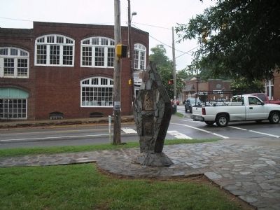
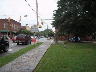
Location. 36° 4.517′ N, 79° 5.957′ W. Marker is in Hillsborough, North Carolina, in Orange County. Marker is at the intersection of S Churton Street and King Street, on the right when traveling north on S Churton Street. Touch for map. Marker is at or near this postal address: 105 W King St, Hillsborough NC 27278, United States of America. Touch for directions.
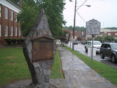
Other nearby markers. At least 8 other markers are within walking distance of this marker. Thomas Burke (here, next to this marker); Orange County Courthouse, 1845-1957 (a few steps from this marker); Regulators Hanged (within shouting distance of this marker); Edmund Fanning (within shouting distance of this marker); William Churton (about 300 feet away, measured in a direct line); Town of Hillsborough (about 300 feet away); North Carolina Society of the Cincinnati (about 300 feet away); Billy Strayhorn (about 400 feet away). Touch for a list and map of all markers in Hillsborough.
More about this marker. Two plaques are on the back of the monument. One depicts Daniel Boone and his dog and indicates this to be the Boone Trail Highway. Below this is a plaque of an Indian Chief with the text “Here passed The Trading Path 1700.”
Credits. This page was last revised on May 13, 2023. It was originally submitted on August 14, 2010, by Bill Coughlin of Woodland Park, New Jersey. This page has been viewed 948 times since then and 36 times this year. Last updated on May 11, 2023, by Michael Buckner of Durham, North Carolina. Photos: 1, 2, 3, 4, 5. submitted on August 14, 2010, by Bill Coughlin of Woodland Park, New Jersey. • J. Makali Bruton was the editor who published this page.
